Careers in Marine Photogrammetry: Mapping Reefs in 3D for a Living
Reef photogrammetry turns overlapping photos into centimetre-scale 3D habitat maps. Here's how the field works, the skills it takes, and who hires for it.
Dr. Mara Ellison ·
5 articles
Reef photogrammetry turns overlapping photos into centimetre-scale 3D habitat maps. Here's how the field works, the skills it takes, and who hires for it.
Dr. Mara Ellison ·

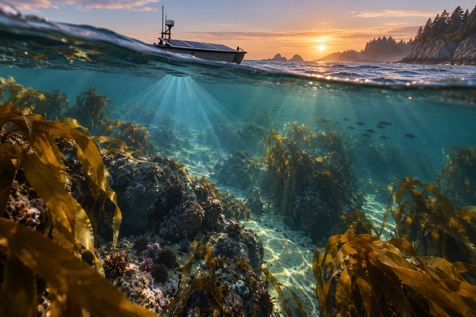
Multibeam and sidescan sonar build metre-scale maps of reef relief, substrate and kelp canopy. How acoustic mapping works, and what it can and can't see.
Dr. Mara Ellison ·
After 90 days alone on the Great Southern Reef, autonomous vessel Drifter 7 returned with 4.2 million images and one bent propeller. This is its story.
Jack Callum ·

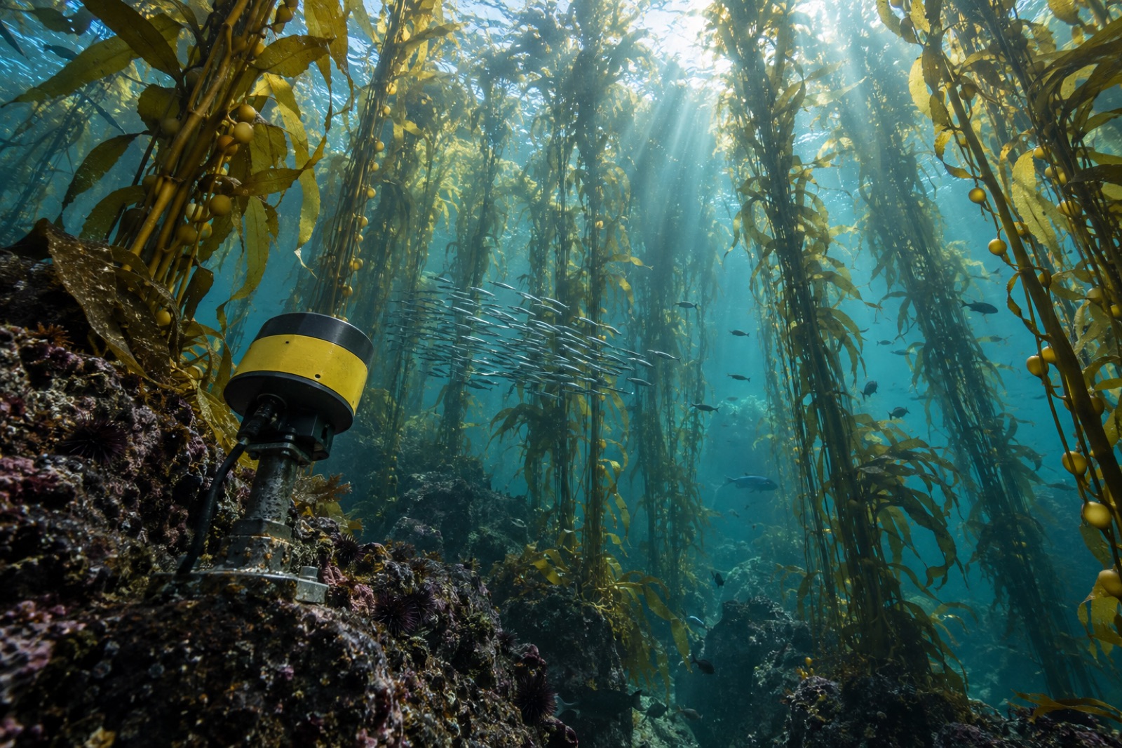
Echosounders see the part of a kelp forest satellites and divers can't — its living volume. How hydroacoustic surveys map canopy height, density and biomass.
Dr. Mara Ellison ·
Multibeam sonar, sidescan texture, satellite bathymetry and AUVs: how modern seafloor mapping works, what each tool can resolve, and why reefs need it.
Dr. Mara Ellison ·