Science8 min read
Sounding Out a Forest: How Sonar Maps Kelp Reefs
Multibeam and sidescan sonar build metre-scale maps of reef relief, substrate and kelp canopy. How acoustic mapping works, and what it can and can't see.
Dr. Mara Ellison ·
Echosounders see the part of a kelp forest satellites and divers can't — its living volume. How hydroacoustic surveys map canopy height, density and biomass.
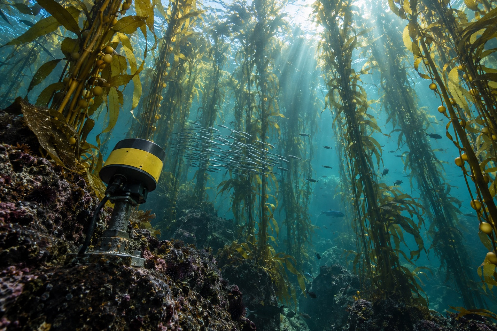
A satellite sees the roof of a kelp forest. A diver swims through a doorway of it. But a kelp forest is a building — it has floors, volume and load-bearing structure — and almost none of that structure is visible from above or fully grasped from within a single transect. The instrument that can read the whole volume in one pass is the echosounder: a downward-looking sonar that turns the water column between canopy and seafloor into numbers. This is the physics of how kelp announces itself to sound, how surveys turn echoes into canopy maps, and — just as important — the biases that keep sonar readings honest only when the people running them know what the numbers can't see.
If you want the wider map of acoustic survey tools, our primer on sonar reef mapping covers how the seafloor itself is drawn. This article is about the upside-down half of the problem: the living column of water above the rock.
Sound returns from water only where it meets something that differs acoustically from water. Flesh differs so little that a smooth-skinned fish is a modest target. Kelp's signature is threefold:
Different species sing differently. Giant kelp's fronds, buoyed throughout the water column by small pneumatocysts, return a full-column signal from surface to bottom attachment. A bull kelp with one large float tends to ring once, near the surface. A bark kelp with no floats at all returns only tissue scatter — far quieter, far easier to miss. Species-blind acoustic surveys inherit these blind spots whole.
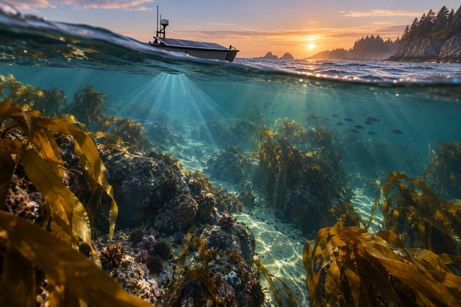
A single-beam or split-beam echosounder on a pole over the side of a small boat, driven in tight parallel lines across the forest, builds the classic canopy survey. Every ping returns a vertical echo profile — one trace of "what is at each depth beneath the boat." Stitched along the boat's GPS track, thousands of traces become a cross-section of the forest: canopy top, canopy base, bottom depth, and the textured density band between them.
Split-beam models add position within the beam, so that individual targets (a school of anchovies inside the canopy; a diving cormorant) can be separated from the kelp mass.
An echosounder bolted to the reef and pointed up can log canopy presence and height for months — storm after storm, tide after tide. Where a boat transect gives you a snapshot, a moored upward-looker gives you a time series: canopy collapse in a heatwave in real hours, canopy return in the spring in real days. Restoration programs plant these the way meteorologists plant rain gauges; our Drifter vessels drop them on seeded reefs to read the forest's growth between visits.
A multibeam sonar built for seafloor mapping also records echoes arriving in the water above the bottom. Processing that water-column data is heavier engineering — every ping is a three-dimensional fan of returns — but the payoff is a true 3D grid of scatter strength: the forest as a volume, with canopy surface texture, understory gaps and fringing schools of fish all in one geometry.
Where is the kelp bed? A sidescan towfish answers the horizontal question with aerial-photograph clarity — a kelp bed's textured grain looks different in sidescan from bare rock, sand or urchin pavement. Sidescan tells you the forest's extent superbly and its height not at all; paired with an echosounder transect it gives you both.
Turning echo traces into ecological numbers is a calibration exercise, not a computation:
What falls out of the process is a suite of numbers that means something: canopy cover (what fraction of reef has kelp overhead), canopy height (the forest's stature, averaged and gridded), canopy rugosity (how textured the roofline is — a wave-damping parameter all its own), and — through species-specific allometric equations — standing biomass, the number climate and harvest accounting both need.
Every technology announces its honesty by how well it names its biases. Four matter most in kelp acoustics:
A canopy map is not a portrait; it is an engineering drawing. The volume and texture of a kelp forest drive three things every restoration program cares about:
When our canopy analysts talk about "reading the forest in 3D" inside the Canopy Ledger platform, this is the packet of measurements they mean — the echo-derived volume that turns satellite pixels into a building you can quantify.
The next decade of kelp acoustics is less about new instruments and more about new ears. Machine-learning classifiers trained on labelled echo traces are learning to separate kelp species by their acoustic texture, to flag fish contamination automatically, and to fuse sonar with drone photogrammetry of the surface into unified above-and-below models. The forest will remain a building that light cannot enter and divers cannot census — but sound, arriving ping by ping, keeps adding rooms to the map.
Partially, and getting better. Float architecture gives strong species-level hints — a single large float reads differently from a column of small ones — and machine-learning classifiers trained on labelled traces are beginning to separate common species by echo texture. But for now, species confirmation still comes from divers or imagery, with acoustics providing the architecture.
At survey power levels and durations, no measurable disturbance is documented for kelp; the pings are brief and the sound levels far below anything associated with harm to fish or invertebrates. Marine mammals are the caution case for any loud underwater source, which is why survey protocols include marine-mammal watches and exclusion zones, same as for fish survey acoustics.
Calibrated against diver-measured density on the same reef and day, canopy height estimates run within centimetres and biomass within roughly the error bars of the diver calibration itself. Uncalibrated, an acoustic number is a relative index — reliable for tracking change, unreliable as an absolute figure.
Drones see the canopy surface superbly — and nothing underneath it. The mid-water structure, the canopy's depth, and the bottom attachment that anchors every height measurement are all invisible to a camera. Drone photogrammetry and acoustics together are the whole survey; either alone is half a building.
Multibeam and sidescan sonar build metre-scale maps of reef relief, substrate and kelp canopy. How acoustic mapping works, and what it can and can't see.
Dr. Mara Ellison ·
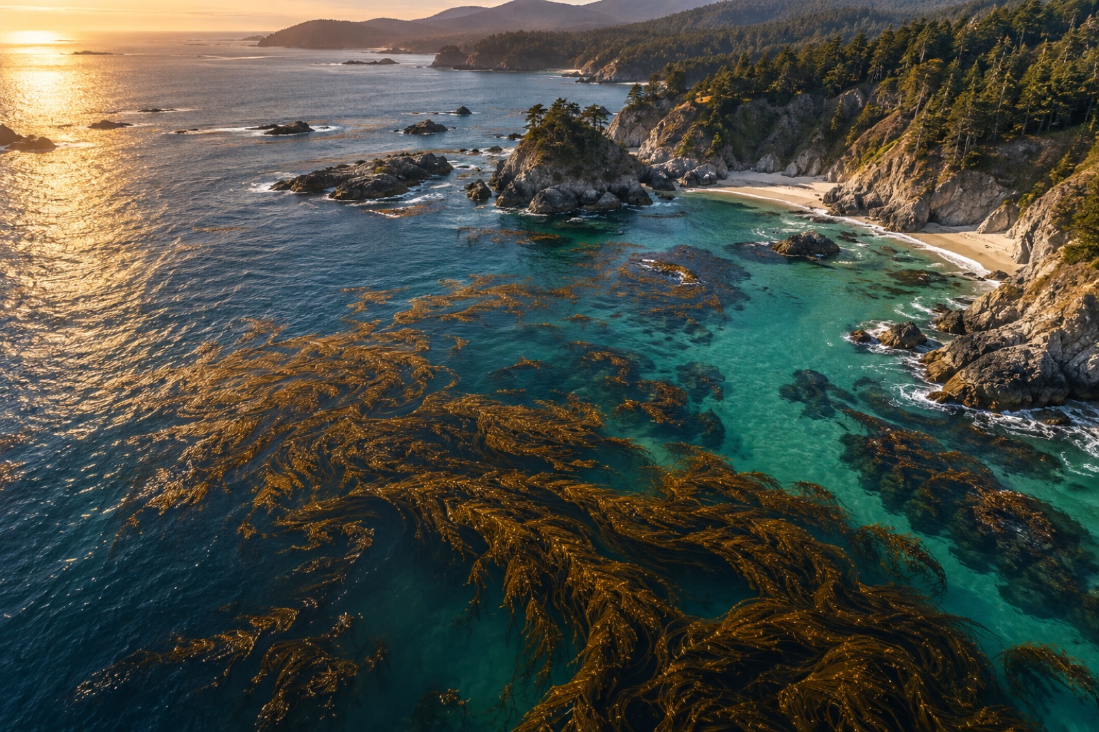
From Sentinel-2 pixels to drone orthomosaics, here's how scientists detect, map and track kelp forest canopies from space — and where the limits are.
Dr. Mara Ellison ·
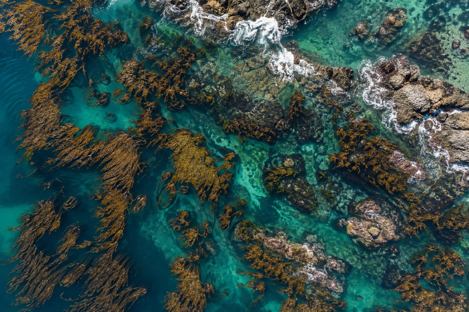
How to plan, fly and process a drone survey over kelp canopy — tides, sun glint, polarisers, ground control — for maps you can compare year after year.
Dr. Mara Ellison ·