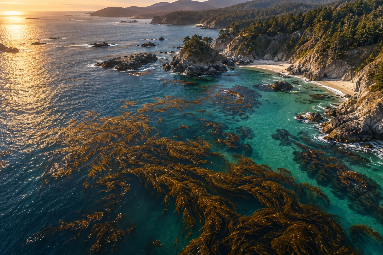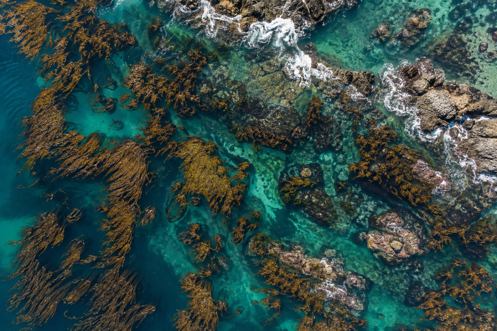
Mapping Kelp Canopy with Drones: Photogrammetry Methods That Actually Work
How to plan, fly and process a drone survey over kelp canopy — tides, sun glint, polarisers, ground control — for maps you can compare year after year.
Dr. Mara Ellison ·
8 articles

How to plan, fly and process a drone survey over kelp canopy — tides, sun glint, polarisers, ground control — for maps you can compare year after year.
Dr. Mara Ellison ·
Every March we fly every southern-hemisphere site at peak canopy. Twelve flights a day, dawn tides, and a data pipeline that turns pixels into a season's verdict.
Jack Callum ·
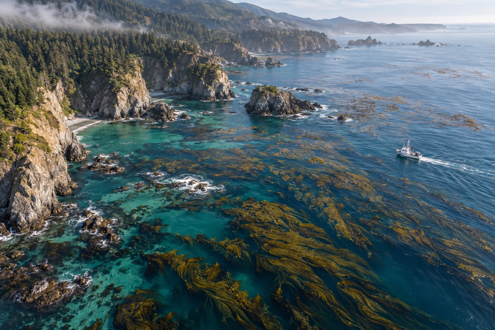
A week flying multispectral drone surveys over Mendocino's recovering bull kelp: fog windows, canopy maths, and where the map still needs divers.
Jack Callum ·
Satellites and drones draw the canopy maps; divers make them honest. Field notes from a ground-truthing day with the Catalina Dive Co-op.
Tom Okafor ·

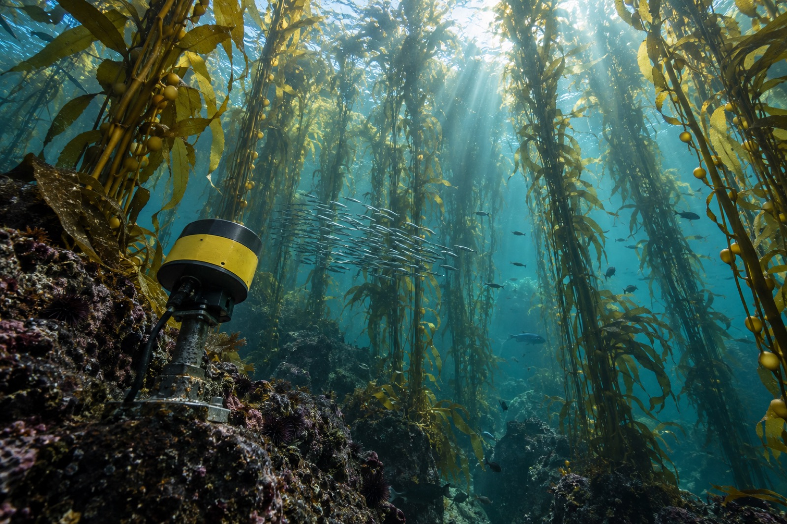
Echosounders see the part of a kelp forest satellites and divers can't — its living volume. How hydroacoustic surveys map canopy height, density and biomass.
Dr. Mara Ellison ·

Follow kelp carbon from satellite canopy map to verified credit: the fieldwork, biomass models, fate tracing and audits behind blue carbon MRV at sea.
Dr. Mara Ellison ·
For one week at Tinderbox we counted the same kelp canopy twice — once by drone, once by diver. Here's what each method caught, missed and taught us.
Jack Callum ·

From Sentinel-2 pixels to drone orthomosaics, here's how scientists detect, map and track kelp forest canopies from space — and where the limits are.
Dr. Mara Ellison ·