Field Notes9 min read
Field Notes: Storm Season on Catalina
A Pacific storm season tests Tidewright's Catalina restoration site. Field notes on survey dives between swells, storm-torn kelp, and which Holdfast lines held.
Jack Callum ·
Satellites and drones draw the canopy maps; divers make them honest. Field notes from a ground-truthing day with the Catalina Dive Co-op.
Field Notes are Tidewright's own dispatches from our (fictional) restoration sites, told by the crews who work them. The maps and numbers below are our project figures — illustrative, and shared the way we share all of them.
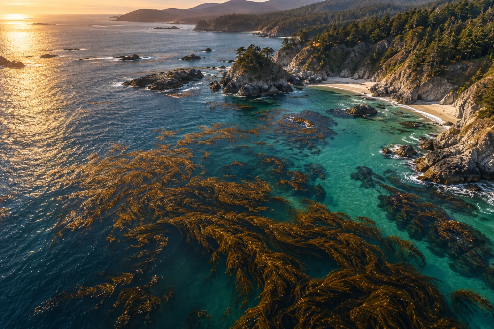
At 07:40 on a glassy March morning, twelve divers from the Catalina Dive Co-op back-rolled into sixteen metres of water off the island's west end with slates, cameras and transect tapes — to audit a satellite. This is ground-truth day, the quarterly ritual at the heart of the Catalina Canopy program, and it is my favourite day on the Tidewright calendar because it is the day our maps are made to confess.
Here is the machinery. Canopy Ledger maps Catalina's kelp from above: satellite passes when the swath and cloud cooperate, drone overflights on calm mornings, sonar habitat surveys from the Drifters in between. From those layers the system draws the canopy — hectare by hectare, week by week — and the numbers clients, councils and co-op members quote back at us. You can read how the remote side of this works in our explainer on how satellites see kelp.
But a canopy map is a shadow the forest casts on the sky. It tells you where fronds reach the surface. It cannot tell you how many stipes stand beneath each surface frond, whether the plants are thick-stiped and healthy or thin and heat-stressed, whether recruits are lighting up the reef floor below, or whether that "canopy" pixel is actually a passing raft of torn drift kelp that will be on the beach by Friday. Only a diver sees that. Every canopy number we publish is built atop a calibration between what the sensors infer and what divers measure; ground-truth day is when that calibration gets renewed.
The co-op runs this like the professionals they are — most of them logged more dives on these reefs last year than our entire science team combined. Their lead, Maya, briefed the plan on the stern while the island's cliffs went gold in the early light:
Drifter 4 — Pintail — ran sonar lawn-mower passes overhead the whole time, so every diver observation could be pinned against what the boat saw from above at the same hour.
By the second dive the slate boards were telling the day's real story, and it had three parts.
The canopy was thinner than it looked. In the youngest block, satellite and drone agreed: canopy across roughly 70% of the seeded area. The diver counts told the sharper truth — much of that canopy sat on plants carrying only two to four stipes each, where a mature Catalina plant carries dozens. Healthy, but juvenile. When we update the public canopy figure next week it will carry a condition note: first-season canopy, low stipe density. A map that can't say that isn't honest, and honesty is the product.
The recruits were the headline. On the storm-cleared patches — the same patches February's swells pruned open, written up in our storm season notes — the co-op counted sporophyte recruits in every single quadrat. Bronze ribbons ten to thirty centimetres tall, in densities the control reef simply did not show. The map sees none of this; recruits won't touch the surface for months. But to everyone on that boat, the recruits were the result: the seeded forest re-seeding itself, which is the entire point.
One station the map had wrong in the other direction. A bright patch the drone had logged as canopy turned out, on diver inspection, to be a dense raft of detached drift kelp pinned against the point by current — material the storms had exported from further up the coast. It looked magnificent from above and meant nothing for the reef below it. That station gets reclassified. This is exactly why the ritual exists.
The quiet power of the day isn't the quadrat data — it's the annotations. Co-op divers have watched these reefs for decades, some of them since before the forests' worst years, and ground-truth day is structured so that knowledge gets captured, not just our protocol's outputs.
Maya's crew flagged a gutter where canopy never holds past July, regardless of seeding density — their hypothesis is a summer current that pulls warm water down the cut, and their evidence is fifteen years of erased transects. That gutter is now a permanent exclusion in next winter's planting plan. Two of the senior divers walked me through where the garibaldi territories sat in the 1990s photographs they grew up with, against where the territories are now — a forty-year fish-map of the reef that exists nowhere on paper. And every winter the co-op's divemasters report the first storm-torn canopy rafts days before our alert thresholds trip, because they are in the water and the satellites are not.
Restoration programs talk a great deal about community engagement. Most of it is a newsletter. This is the other kind: the people who know the reef best, paid and equipped to make the science better, with their names on the quarterly report beside ours. The co-op's charter with the program — fictional, like all of this — guarantees the audit divers can fail any map, and they have exercised that right twice. Both times the map was wrong. Both times the methodology improved.
Last dive finished at 15:10. On the mooring at Two Harbors, with gear rinsed and the day's slates photographed into Canopy Ledger, the co-op and the Tidewright crew did the debrief the way it has always been done on this island: fish tacos on the beach, the day's numbers argued over amiably, next quarter's date set. In the shallows below the pier, a single yearling kelp from the 2024 planting lay its first frond flat on the surface, rocking in the ferry wake.
The satellite will see it by July. The divers saw it today. Both matter. That's the whole lesson.
Because kelp canopy is a surface signal over a three-dimensional forest. Sensors resolve where fronds float; they cannot count the stipes holding them, judge plant health, see recruits ten metres down, or tell a living attached forest from a drifting raft of storm-torn kelp. Diver surveys convert the map from a picture into a measurement.
Comparing what a measurement system infers with what's physically there, at the same place and time, and using the differences to correct the system. In our case: fixed quadrat stations dived on the same day the Drifters and drones survey, with the diver counts adjusting the map's calibration.
A fictional partner in the Catalina Canopy program — a diver-owned cooperative whose members have worked these reefs for decades. In the program's charter they lead field verification, sit in on seeding decisions, and hold the right to reject any published canopy figure that fails their audit.
The divers win. Every disagreement gets investigated, but the standing rule of the program is that field measurement trumps remote inference — and the methodology gets updated so the map is less wrong next quarter.
Not on the audit dives themselves — those need calibration and training — but visiting divers can contribute photos and sightings to the program's public sightings log, and our citizen-science reef surveys guide explains how to make recreational dive data count anywhere on the coast.
A Pacific storm season tests Tidewright's Catalina restoration site. Field notes on survey dives between swells, storm-torn kelp, and which Holdfast lines held.
Jack Callum ·
Catalina Island is southern California's kelp capital — Casino Point, Farnsworth Bank, warm-water giants and a century of marine science under the canopy.
Dr. Mara Ellison ·
From Sentinel-2 pixels to drone orthomosaics, here's how scientists detect, map and track kelp forest canopies from space — and where the limits are.
Dr. Mara Ellison ·