The platform — Monitoring, verification & blue carbon
Canopy Ledger
Restoration only counts if you can prove it. Canopy Ledger fuses satellite imagery, drone photogrammetry and in-water surveys into a public record of every hectare Tidewright touches — then turns verified canopy and biodiversity gains into credits that council budgets and corporate buyers can actually purchase.
Why it exists
Proof is the product.
Blue carbon has a credibility problem, and kelp sits in the hardest corner of it: the carbon pathway is real — biomass exported to deep water and sediments — but measuring it hectare by hectare, year after year, is where most claims quietly thin out. Buyers learned to treat ocean credits as promises.
Canopy Ledger exists to make kelp credits boring. Every site is mapped from satellite and drone, ground-truthed by Drifter cameras, dive surveys and eDNA, modelled against field plots, audited by independent reviewers — and then published, site by site, for anyone to check. Credits list with the full MRV file attached, including the parts that didn’t work.
In the field
- F1 canopy detection on held-out imagery
- 0.93
- satellite revisit over every site
- Weekly
- stewardship horizon behind each issued credit
- 20 yrs
Tidewright’s own fictional system figures, shown for demonstration.
Anatomy
Inside Canopy Ledger
The Canopy Ledger pipeline: three observation streams, one fitted model, an independent audit gate, two public outputs.
The flow
How Canopy Ledger works
Map the canopy
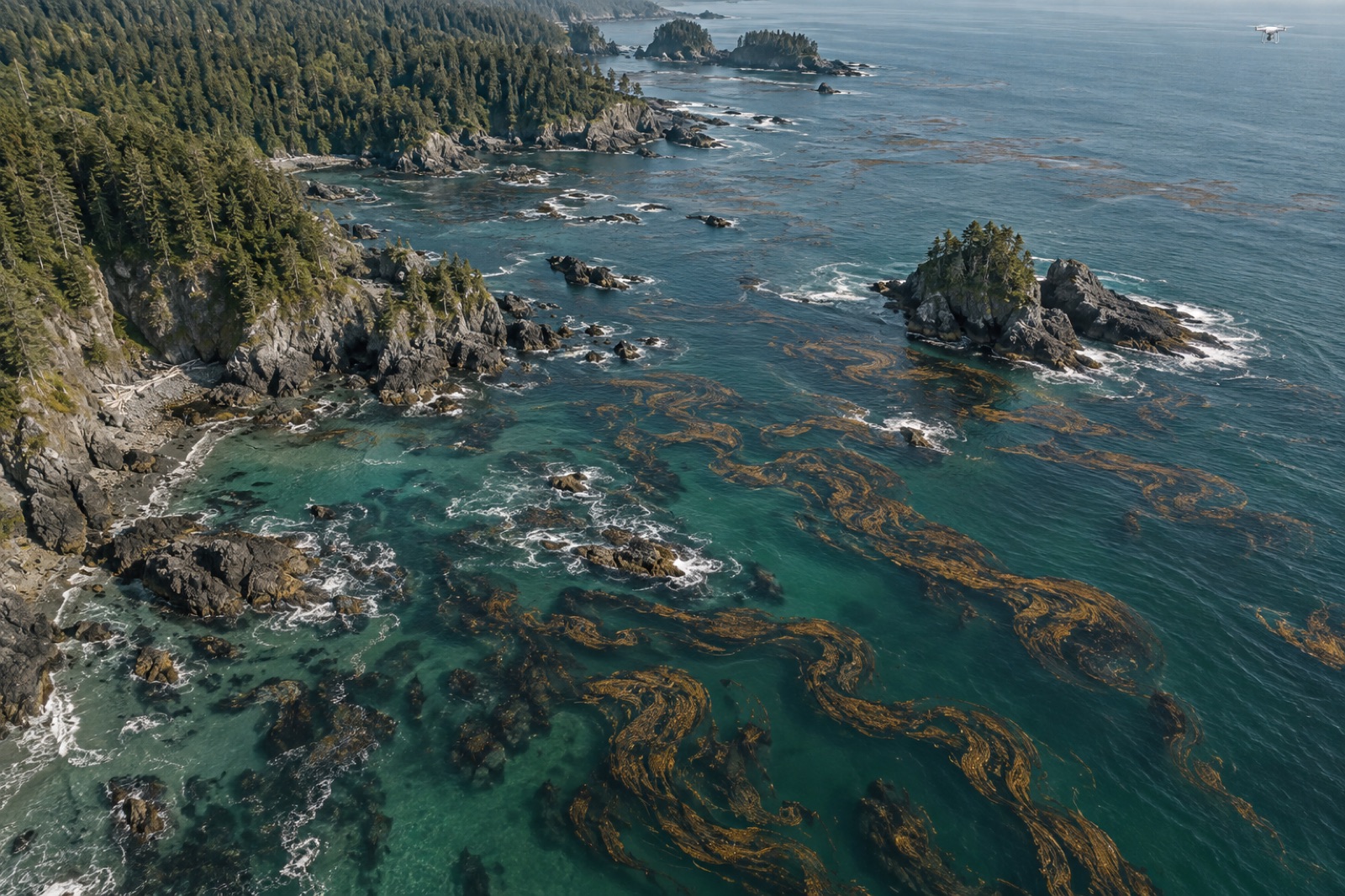
Satellite passes trace canopy extent weekly through every season; monthly drone photogrammetry resolves density and edge condition over active sites.
Survey in the water
Drifter camera runs, dive transects and eDNA samples count recruits, urchins, fish and returning predators — the living picture under the canopy.
Model the outcomes
Biomass, export and biodiversity models are fitted against permanent field plots, so every site number traces back to measured plots, not global averages.
Verify independently
Third-party reviewers audit the models, the plots and the chain of custody annually. Nothing is issued before that audit closes.
Publish and issue
Site-level canopy data goes public open-access; verified carbon and biodiversity credits list with their complete MRV documentation attached.
Specification
The Canopy Ledger spec sheet
The numbers that define a working deployment — sized for real coastlines, weather and budgets, and consistent across every Tidewright program.
Specifications describe Tidewright’s fictional systems and are illustrative.
- Canopy detection
- F1 0.93 on held-out winter imagery
- Revisit rate
- Weekly satellite; monthly drone over active sites
- Verification
- Independent third-party audit, annual
- Transparency
- Site-level canopy data published open access
- Credit types
- Blue carbon (CO₂e) and biodiversity uplifts
- Permanence
- 20-year stewarded sites with buffer pools
- Field truth
- Permanent plots, dive transects, eDNA at every site
- Accounting
- Harvested farm volume excluded from credited restoration
Go deeper
From the journal and the field
Who uses Canopy Ledger?
Questions
Canopy Ledger FAQ
- Is kelp carbon actually permanent?
- We only issue credits against the pathways with credible durability — biomass exported to deep water and sediments — and every credit sits behind a 20-year stewardship commitment plus a shared buffer pool that absorbs reversals. What doesn’t meet that bar simply isn’t credited.
- What does open access actually cover?
- Site-level canopy extent, survey results and the MRV files behind issued credits, published for every site. Commercially confidential farm volumes and culturally restricted knowledge held by Traditional Owners stay private — openness stops where consent stops.
- Who verifies the ledger?
- Independent third-party auditors, annually, auditing both the field plots and the models fitted to them. Tidewright staff run the observations; they never mark their own homework.
- Can a buyer visit a site their credits come from?
- Yes, and we encourage it. Every issued credit names its source sites, and Reef Partners runs guided site visits — by vessel or by dive — for buyers, councils and journalists.
The rest of the platform
Put Canopy Ledger on your coastline.
Councils, fisheries, carbon buyers and community partnerships — the Reef Partners program scopes sites, budgets and timelines around your water.