The platform — Autonomous reseeding vessels
Drifter
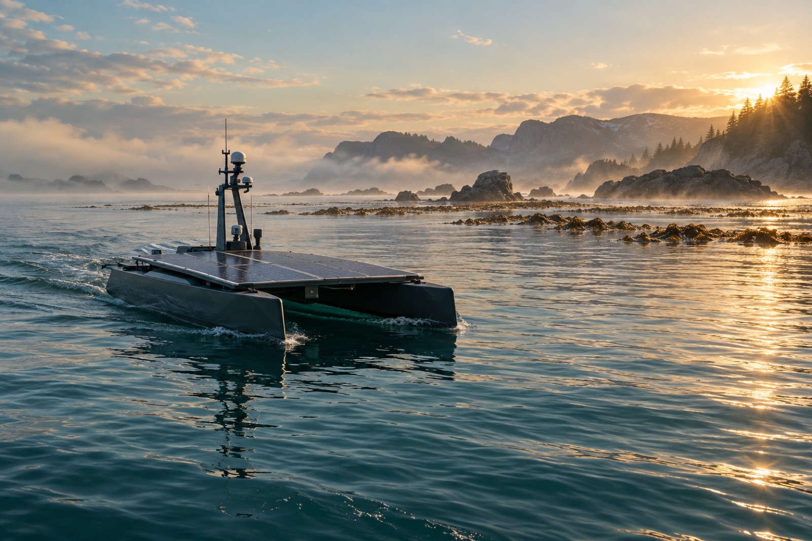
Drifter is a fleet of solar-electric catamarans that do the work a dive team never could at scale. Each vessel surveys rocky reef with multibeam sonar and stereo cameras, builds a habitat suitability map, then lays Holdfast lines — thin, biodegradable cords dense with kelp gametophytes — directly onto the substrate most likely to hold a forest.
Why it exists
Throughput is the whole problem.
The arithmetic of kelp loss broke every tool we had. A marine heatwave can strip tens of square kilometres of forest in a single season, and the best human dive team can meaningfully work a few hectares a year. Restoration was losing by orders of magnitude before Drifter — not on intention, but on throughput.
Drifter closes that gap by making the ocean readable and writable at the same time. The vessel reads the reef first — rugosity, urchin fronts, light, swell exposure — and only then writes onto it, laying seeded line along the contours its own survey scored highest. Every decision stays attached to the data that justified it, so Canopy Ledger can later audit not just that a line was laid, but why it was laid there.
In the field
- of reef seeded per vessel per day
- 6 ha
- on station between shore visits
- 90 days
- resolution of the reef survey grid
- 10 cm
Tidewright’s own fictional system figures, shown for demonstration.
Anatomy
Inside Drifter
Drifter in working profile: solar wing and sensor mast above the waterline, survey cone and line-laying arm below.
The flow
How Drifter works
Survey the reef
Multibeam sonar and 4K stereo cameras map reef rugosity, urchin density and available light at 10 cm resolution, building a three-dimensional picture of every site before a single line is laid.
Score every metre
An onboard suitability model grades the surveyed reef for holdfast grip, swell exposure, canopy potential and grazing pressure — turning habitat maps into a ranked planting plan.
Seed along contours
Spore-seeded Holdfast lines spool off the stern reel and are pinned to rock along scored contours by the laying arm. RTK positioning keeps placement within ±0.3 m of plan.
Log everything
Position, depth, line tension, water quality and imagery stream to the operations room and into Canopy Ledger, so each deployment arrives with its own evidence trail.
Return and resurvey
Drifters revisit seeded lines on a fixed schedule, photographing recruits and resurveying urchin fronts so growth — or failure — is caught in weeks, not years.
Specification
The Drifter spec sheet
The numbers that define a working deployment — sized for real coastlines, weather and budgets, and consistent across every Tidewright program.
Specifications describe Tidewright’s fictional systems and are illustrative.
- Hull
- 8.4 m solar-electric catamaran
- Endurance
- Up to 90 days on station
- Sensors
- Multibeam sonar, stereo 4K cameras, eDNA sampler, CTD
- Seeding rate
- 6 ha of reef seeded per day
- Navigation
- RTK-GNSS + acoustic positioning, ±0.3 m line placement
- Crew
- Uncrewed; supervised from shore ops
- Payload
- 4 km of seeded Holdfast line per sortie
- Operations
- One shore supervisor per six-vessel wave
Go deeper
From the journal and the field
Questions
Drifter FAQ
- Is Drifter really uncrewed? What happens in heavy weather?
- Yes — the hull is uncrewed and supervised from a shore operations room. The vessel rides out heavy weather submerged to a survival draught or, when forecast allows, transits to a sheltering bay. Seeding work waits for calm windows; the survey model already knows which windows matter most at each site.
- How does a vessel place line where a diver would?
- Slower, and more repeatably. The laying arm pins seeded line to rock using the survey map for guidance and acoustic positioning for accuracy — ±0.3 m against the plan, day or night. Divers still matter: they run the ground-truth surveys that keep the model honest.
- What stops a Drifter from seeding the wrong habitat?
- Two things. The suitability model scores out seagrass, sand channels and known cultural sites before any line is planned, and every site plan is reviewed with the project’s steering group — including sea-country rangers — before the vessel sails.
- Who operates the fleet?
- Tidewright field operations, with local partners trained as vessel supervisors, tender skippers and survey divers. On longer programs the shore operations room is the single biggest source of local jobs we create.
The rest of the platform
Put Drifter on your coastline.
Councils, fisheries, carbon buyers and community partnerships — the Reef Partners program scopes sites, budgets and timelines around your water.