A blue-carbon credit is a promise with paperwork: so much carbon, stored here, verified by someone independent, on these dates. For decades the "verified" part meant boats, quadrats and people with clipboards — expensive, episodic, and accurate only where the crew happened to be standing. Digital MRV is changing that. Modern ocean carbon projects assemble a stack: satellites that watch the whole site every clear day, drones that resolve individual plots, in-water sensors that record continuously, eDNA surveys that read biodiversity from a litre of seawater, and a data platform that welds it all into an audit trail. No single layer is sufficient. Together, they are making credible marine carbon measurement cheaper, faster and considerably harder to fudge. This article walks the stack layer by layer: what each does, what it costs you in rigour, and where the limits still sit.
For the conceptual foundations — what measurement, reporting and verification each demand — see MRV for blue carbon. Here the question is instrumental: what hardware and pipelines actually deliver it?
Layer 1: Satellites — the always-on canopy ledger
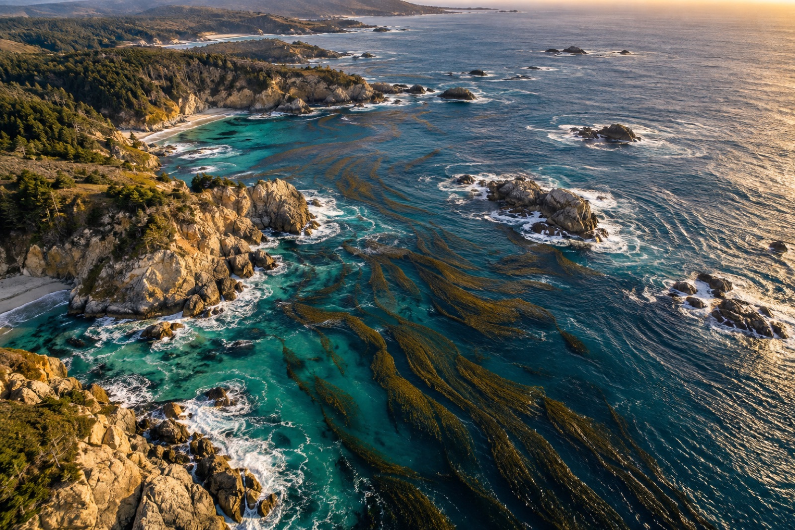
Free, public Earth-observation programmes have transformed coastal monitoring. Multispectral satellites with ~10-metre pixels revisit most coastlines every few days, and the standard workflow for kelp and seagrass projects is now routine:
- Canopy detection. Floating kelp has a distinct near-infrared and shortwave-infrared signature (the classic "floating kelp index" approach); seagrass extent maps from water-column-corrected imagery in clear shallow water. Automated classifiers flag canopy presence and fractional cover per pixel.
- Time series. Repeated passes build the seasonal cycle — canopy maxima, storm losses, recovery after heatwaves — which is what carbon baselines and additionality arguments actually rest on.
- Change detection. Deforestation of a mangrove fringe, a propeller-scar network spreading through a meadow, a kelp canopy collapsing across a heatwave: all detectable without anyone leaving a desk.
The limits are equally real. Cloud, sunglint and turbid water hide the coast on exactly the days you might most want to see it, and ten-metre pixels cannot resolve narrow fringing kelp beds or small restoration plots. Satellites deliver coverage and consistency, not precision. Commercial constellations with metre-scale pixels tighten the resolution at higher cost, and radar instruments see through cloud — useful in the storm-belt coasts where kelp mostly lives.
The broader state of this layer is covered in remote sensing for kelp and blue carbon.
Layer 2: Drones — the plot-level microscope
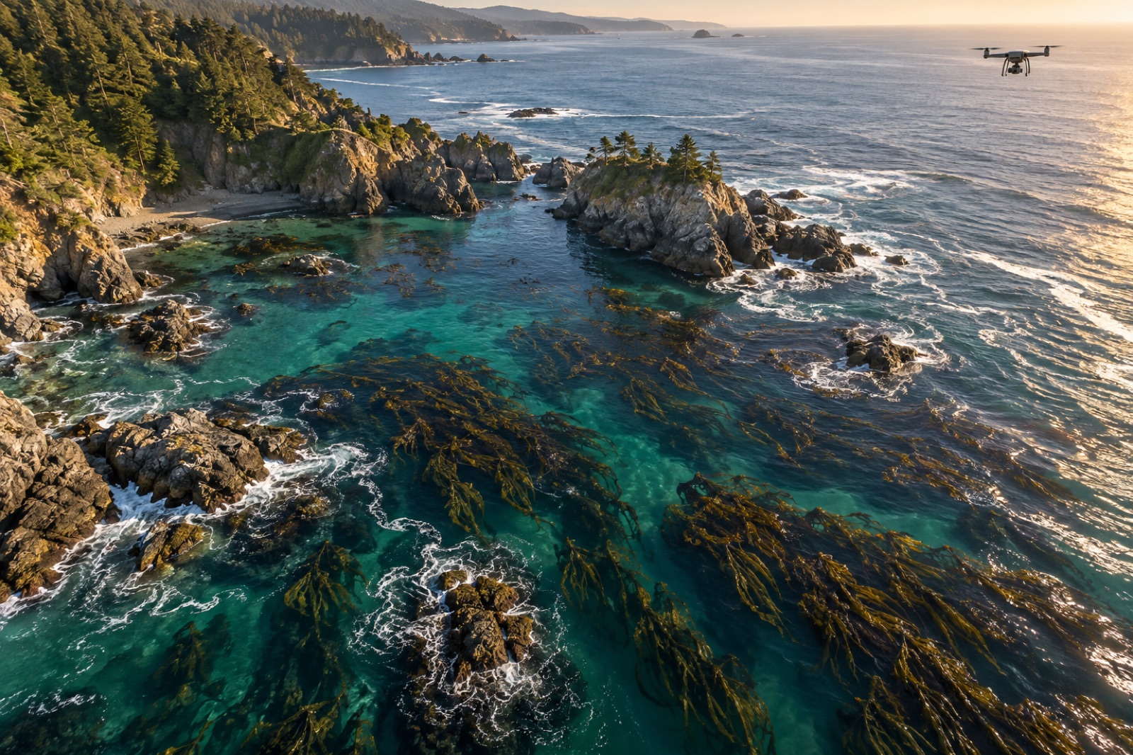
Where satellites give wall-to-wall coverage, drones give detail. A small quadcopter with a standard camera — or better, a calibrated multispectral sensor — flown over a project site produces orthomosaics at centimetre resolution: individual kelp plants, fringing beds under ten metres wide, seagrass patch dynamics, marsh creek migration, restoration-site survivorship.
In the stack, drones do three jobs:
- Calibration and validation. Satellite classifiers are only as good as their ground truth. Drone mosaics over representative plots calibrate the satellite signal (how much kelp does a 50% canopy pixel really hold?) and verify change events the satellite flags.
- Fine-scale performance tracking. Restoration patches, treatment-vs-control designs and urchin-clearing boundaries are visible at drone scale and invisible at satellite scale.
- Structure-from-motion photogrammetry. Over intertidal and shallow sites, overlapping drone imagery yields elevation and canopy-structure models — sediment accretion on marshes, canopy rugosity on reefs — that feed biomass and carbon-density estimates.
Costs have collapsed: what once required a chartered aircraft now fits in a backpack. The constraints are regulatory (coastal airspace rules), weather (the same wind that bends kelp grounds drones) and data management — a single survey day generates gigabytes that need pipelines, not folders.
Layer 3: In-water sensors — the continuous record
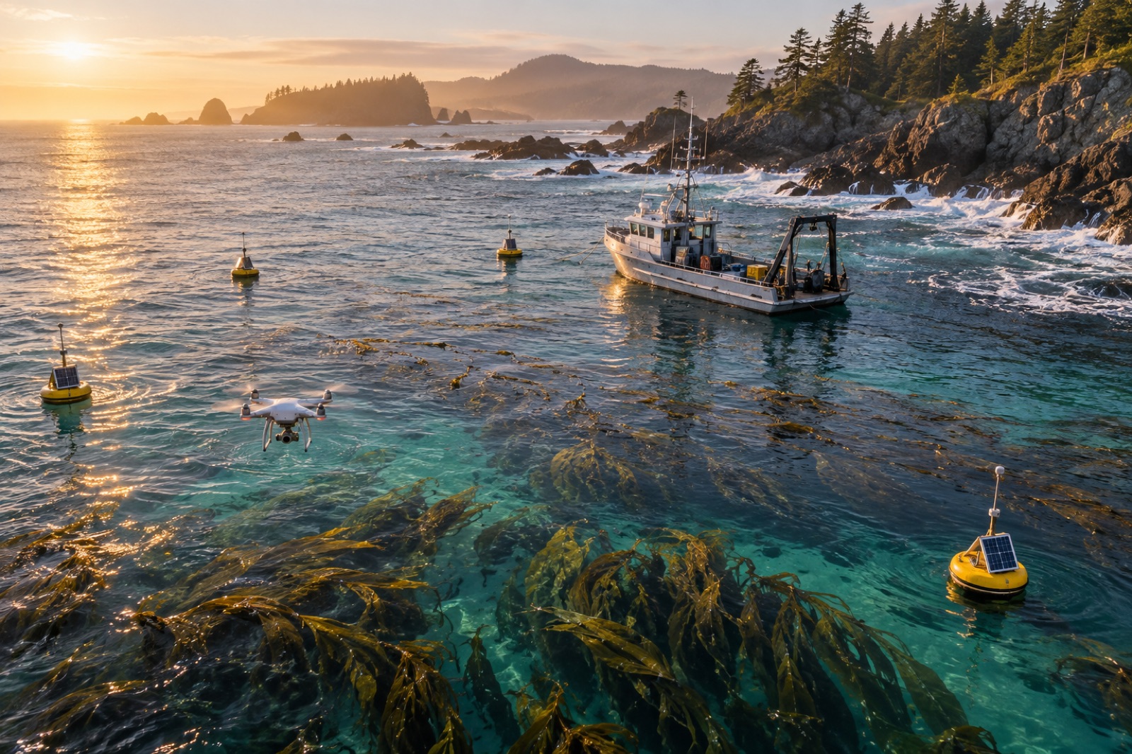
Imagery tells you what the habitat looks like on a given day; moored and deployed instruments tell you what the water did every minute in between. A minimal blue-carbon sensor suite typically includes:
- Temperature chains — the backbone variable. Heatwaves kill kelp and seagrass; the time series documents reversals and attribution alike.
- Dissolved oxygen and pH loggers — capture diurnal and seasonal biogeochemical cycling, local pH refuges inside canopies, and deoxygenation events.
- Turbidity and light sensors — light climate drives plant performance and explains imagery gaps.
- Current meters — on kelp export projects, flow fields determine detritus transport pathways; physical transport is the premise of the whole carbon story.
- Caution: cheap sensors drift, foul and fail. Every instrument needs a calibration and servicing schedule, and validation against laboratory reference methods. A data stream without a QA/QC protocol is an anecdote with timestamps.
Moored and logged instruments are also the project's monitoring backbone for reversals: a heatwave or storm that damages a credited habitat shows up in the stream first, buying time for the buffer-pool accounting described in reversal risk management.
Layer 4: eDNA and biodiversity — reading the community from a bottle
Carbon methodologies increasingly ask projects to report biodiversity co-benefits, and biodiversity credits stand alone entirely. Traditional biodiversity surveys — diver transects, quadrats, trawl samples — are gold-standard accurate but slow and expensive, and they see only what is in front of the diver on that day.
Environmental DNA changes the economics. Every organism sheds genetic traces into the water; filtered and sequenced, a few litres of seawater yield a species list for the site. In the stack, eDNA plays two roles:
- Biodiversity baselines and trend tracking. Repeat sampling at fixed stations detects community recovery (or decline) following restoration, at a fraction of dive-survey cost, and includes cryptic and nocturnal species divers miss.
- Provenance and function. Genetic assays can distinguish kelp species and populations — relevant both to detritus tracing (whose carbon ended up in that sediment core?) and to seedstock provenance documentation.
eDNA has caveats: it measures presence, not abundance, remains sensitive to sampling design (currents move the signal), and reference databases still patch over many marine taxa. In a crediting context it complements, not replaces, traditional surveys — but it lets a project afford monitoring at a density no dive team could.
The final layer has no field hardware at all: it is the plumbing that turns four instrument families into a defensible claim. A credible platform does five things:
- Ingests and standardises satellite imagery, drone mosaics, sensor streams and lab results into one consistent, time-stamped record.
- Version-controls everything. Every map, model and number carries provenance — which algorithm, which calibration, which analyst. Auditors should be able to replay every step.
- Computes the carbon metrics under the chosen methodology, including uncertainty ranges, not just point estimates.
- Flags anomalies — sensor drift, missing passes, unexpected canopy loss — for human review rather than silent acceptance.
- Exports audit-ready evidence packs so the verifier spends their time testing the numbers, not reconstructing them.
This is the layer where the MRV revolution actually saves money: not by making fieldwork free, but by making every expensive field sample and site visit more valuable, and every audit vastly cheaper. Tidewright's own approach — building this into the Canopy Ledger platform rather than bolting it on afterwards — exists precisely because credibility is far easier to design in than to retrofit.
Assembling the stack: honest costs and limits
A working digital MRV stack still demands people in boats: ground-truth diving, sediment coring, instrument servicing and taxonomic verification remain irreplaceable. The stack does not abolish field science; it targets it. Field effort shifts from wall-to-wall surveying to strategic calibration, which is where it produces most value per hour.
The honest limits worth stating to any buyer:
- Sensor and algorithm chains propagate error. A satellite classifier calibrated on a handful of drone flights carries uncertainty that must appear in the final carbon estimate.
- Coverage ≠ permanence. Watching carbon does not protect it; the stack detects reversal events, but buffer pools, insurance and management plans still carry the risk.
- Equity matters. Projects that rely on proprietary tools rented from far away can sideline exactly the coastal communities who hold the place; good stacks build local capacity to fly, sample and read the data as part of the project budget.
Key takeaways
- Digital MRV is a stack, not a gadget: satellites for coverage, drones for detail, in-water sensors for continuity, eDNA for biodiversity, and a data platform for auditable credibility.
- Satellites detect the big changes; drones resolve plot-scale performance and ground-truth the satellite signal; neither substitutes for the other.
- Continuous in-water sensors give the project its reversal early-warning system — and all streams require rigorous calibration and QA/QC to be defensible.
- eDNA turns biodiversity monitoring from episodic dives into affordable repeat surveys, while complementing rather than replacing diver and sediment work.
- The data platform is where value compresses: provenance, version control and uncertainty reporting are what move ocean carbon credits from claims to evidence.
FAQ
Can satellites directly measure blue carbon stocks?
No. Satellites measure habitat extent, canopy cover and change — the inputs. Carbon stocks still require field calibration: sediment cores, biomass surveys and laboratory analysis feeding models that map imagery to carbon.
How accurate is eDNA for tracking restoration success?
eDNA reliably detects species presence and community change at a site, including species that divers miss. It is weaker at abundance and requires careful sampling design in moving water, so crediting projects pair it with traditional surveys.
Does digital MRV replace verification auditors?
No — it makes them more effective. A verifier receives consistent, provenance-tracked evidence rather than data archaeology. The audit still tests assumptions, samples and calculations; it just starts from a far better organised file.
What is the cheapest starting layer for a small project?
Free public satellite imagery plus a disciplined program of ground truth. A meaningful time series and a handful of well-placed validation plots establish a baseline credibly, and additional layers can be added as the project budget grows.
Where is the frontier right now?
Two places: quantifying kelp carbon export (linking canopy data to sediment and deep-ocean storage) and autonomous platforms — gliders, long-endurance drones and machine-learning classifiers — that push consistent data costs down across thousands of kilometres of coast.