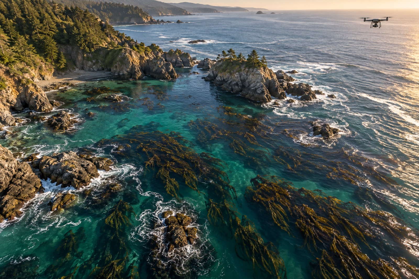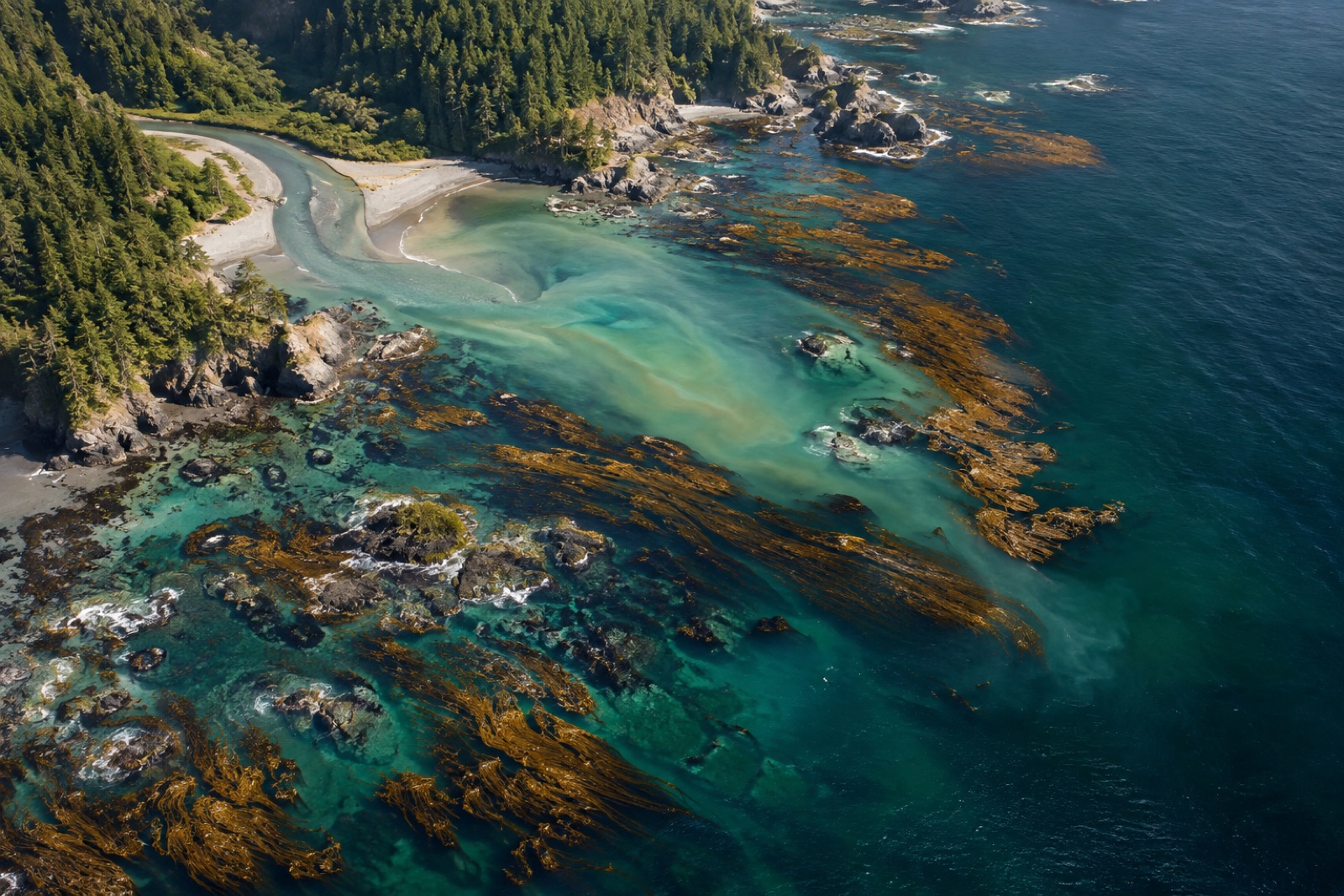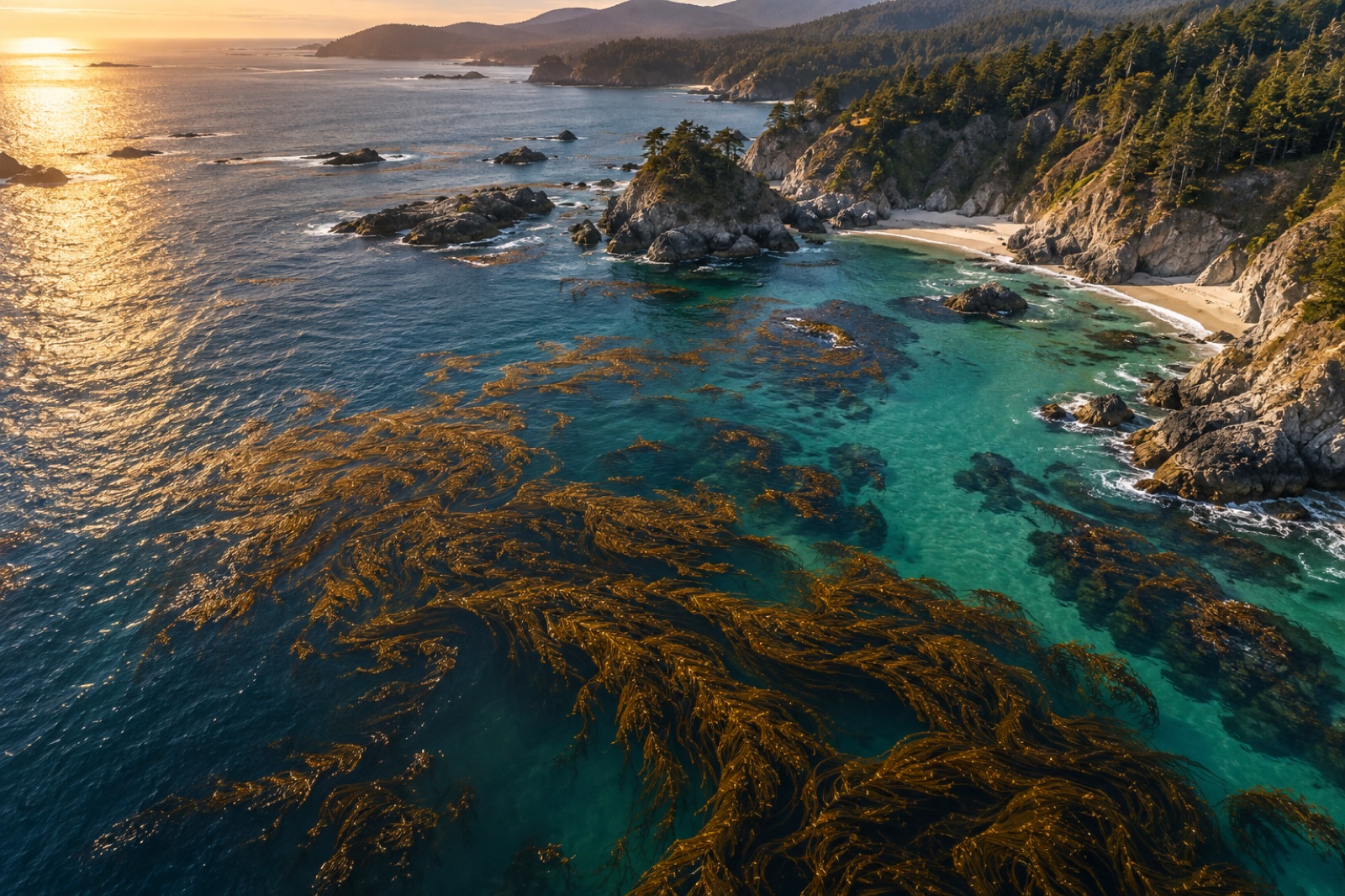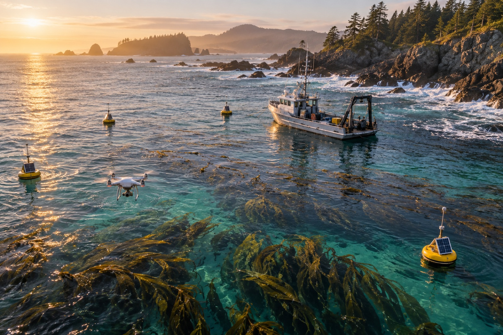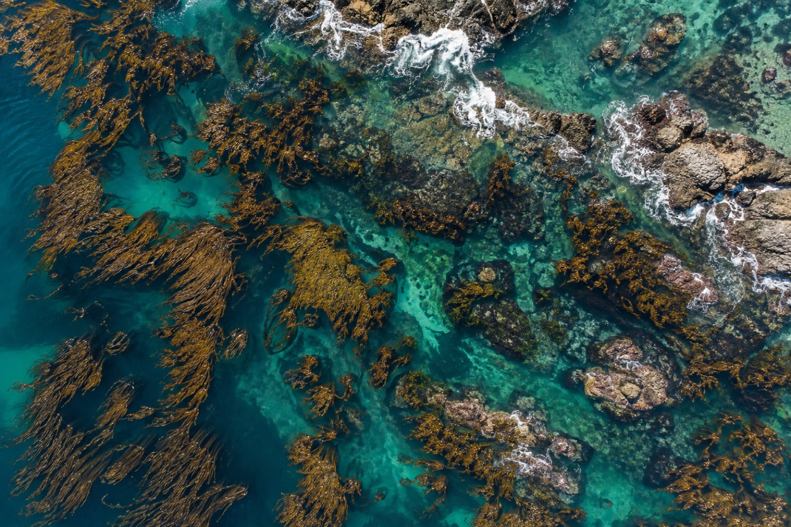
Mapping Kelp Canopy with Drones: Photogrammetry Methods That Actually Work
How to plan, fly and process a drone survey over kelp canopy — tides, sun glint, polarisers, ground control — for maps you can compare year after year.
Dr. Mara Ellison ·
19 articles

How to plan, fly and process a drone survey over kelp canopy — tides, sun glint, polarisers, ground control — for maps you can compare year after year.
Dr. Mara Ellison ·
Why the sea turns green, turquoise or milky — and how ocean-colour satellites read chlorophyll from orbit to map blooms, currents and ocean life.
Dr. Mara Ellison ·
A field guide to remote sensing and geospatial careers in ocean science: the daily work, a portfolio that gets interviews, and where the jobs hide.
Priya Raman ·

Satellites have tracked giant kelp canopies since the 1980s. How remote sensing maps kelp forests, feeds carbon accounting, and where the pixels stop short.
Dr. Mara Ellison ·
Ocean colour satellites turn faint light reflected from the sea into maps of phytoplankton, sediment and kelp. How the sensors work, what they see — and what they miss.
Dr. Mara Ellison ·
How satellites derive sea surface temperature from infrared and microwave radiometers, why clouds and fog mask kelp coasts, and how scientists validate SST.
Dr. Lena Fischer ·
From photon to map: the orbits, instruments, processing levels and data products behind satellite sea surface temperature — and how to read an SST map like an oceanographer.
Dr. Lena Fischer ·
Blue carbon analysts turn mangroves, seagrass and kelp into audited tonnes. Here's what the job is, the skills it demands and the practical road into it.
Priya Raman ·

Follow kelp carbon from satellite canopy map to verified credit: the fieldwork, biomass models, fate tracing and audits behind blue carbon MRV at sea.
Dr. Mara Ellison ·

How satellites, drones, in-water loggers and eDNA sampling combine into a digital MRV stack that makes ocean carbon projects measurable, auditable and affordable.
Priya Raman ·
How scientists turn diver counts, satellite pixels and allometric equations into honest kelp biomass estimates — and why every method carries a bias.
Dr. Mara Ellison ·
The blue economy needs engineers as much as biologists — AUVs, satellites, eDNA and ocean data. A map of ocean-tech careers and how to enter them.
Dr. Lena Fischer ·
Multibeam sonar, sidescan texture, satellite bathymetry and AUVs: how modern seafloor mapping works, what each tool can resolve, and why reefs need it.
Dr. Mara Ellison ·

Hyperspectral sensors split light into hundreds of bands, separating kelp species, plankton groups and sediment that multispectral satellites blur together. Here's how.
Dr. Mara Ellison ·
A practical guide to ocean data science careers: the data types, the skills that matter, how to enter the field, and where marine data jobs actually exist.
Priya Raman ·
How software and data professionals cross over into ocean data science: the skills that transfer, the ones to learn, and the portfolio that gets you hired.
Dr. Lena Fischer ·

From Sentinel-2 pixels to drone orthomosaics, here's how scientists detect, map and track kelp forest canopies from space — and where the limits are.
Dr. Mara Ellison ·

Digital MRV — satellites, drones, acoustics, eDNA and machine learning — is collapsing the cost of verifying coastal carbon. Here's what works and what doesn't.
Priya Raman ·
Marine GIS analysts turn sonar, satellite and survey data into the maps coasts are managed by. Here's what the work involves and how to break in.
Dr. Mara Ellison ·