Careers11 min read
Marine Spatial Planning: The Careers Behind the Maps
Marine spatial planning decides where wind farms, fishers and reserves fit. Inside the GIS, data and facilitation careers that draw the ocean's future map.
Dr. Mara Ellison ·
Marine GIS analysts turn sonar, satellite and survey data into the maps coasts are managed by. Here's what the work involves and how to break in.
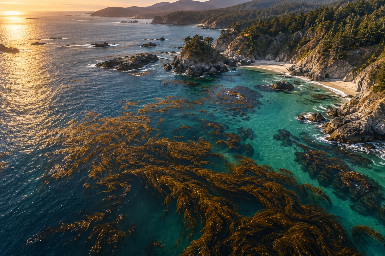
Satellites photograph kelp canopies, sonar sketches the seafloor, survey divers drop GPS-tagged observations, and ocean gliders log temperatures along invisible transects. None of that data helps anyone until somebody turns it into a map a decision-maker can use. That somebody is the marine GIS analyst — the person who converts raw spatial data into the layers on which marine protected areas are drawn, cables are routed, harbours are dredged, and restoration sites are chosen. If you like maps, pattern and purpose in roughly equal measure, this is one of the most quietly powerful careers in the ocean sector. This guide covers what the work is, where the jobs live, and how to build toward one.
Geographic Information Systems (GIS) is the craft of storing, analysing and visualising location-linked data. On land it underpins everything from delivery logistics to wildfire response. At sea it carries extra weight, because almost nothing in the ocean can be seen directly at management scale — you can drive past a forest, but you cannot drive past a kelp bed. The map is the primary way anyone "sees" the marine environment, which makes the mapmaker unusually influential.
A marine GIS analyst's work typically includes:
If that sounds close to ocean data science, it is — the two fields overlap heavily. The practical difference is emphasis: GIS work centres spatial relationships and map production, while data science leans harder into statistics, machine learning and pipelines. Many professionals do both, and job titles ("spatial analyst", "geospatial scientist", "marine data officer") blur the line constantly.
Demand comes from nearly every corner of the blue economy:
Government agencies — hydrographic offices charting harbours, environmental agencies mapping habitats, fisheries departments tracking effort, and coastal councils planning for erosion and sea-level rise. Public-sector roles are the largest single employer in most countries and tend to offer stable, mission-aligned work.
Offshore energy and infrastructure — wind developers, cable layers and port authorities all need baseline habitat maps, constraint analyses and ongoing monitoring. These roles pay well and move fast, and they increasingly demand ecological literacy alongside technical skill.
Environmental consultancies — the generalist's route. Consultancies supply mapping capacity to all of the above, which means variety: a benthic habitat map this quarter, a marine park zoning analysis next. Our overview of marine environmental consulting describes that rhythm in detail.
NGOs and restoration organisations — mapping priority habitats, monitoring restoration outcomes, building public atlases. At Tidewright, spatial analysts sit inside the Canopy Ledger team, turning satellite and drone imagery into the verified canopy and biodiversity records our registry publishes — a good example of how GIS skill plugs directly into restoration outcomes.
Research institutions — supporting everything from larval dispersal modelling to long-term habitat-change studies.
You do not need to master everything before your first job, but hiring managers will look for a recognisable core:
There are three common doors, and none requires a specific master's degree.
The geography or geospatial degree route. A bachelor's or master's in geography, geomatics, geospatial science or geoinformatics gives the technical core; you add the marine layer through electives, thesis topics and marine-sector internships. Strong and direct.
The marine science route. A marine biology or oceanography graduate who takes GIS seriously — real coursework, not just the pressed-buttons-in-a-lab version — becomes doubly employable, because the sector is full of scientists who can collect data and short of people who can integrate it.
The self-built route. QGIS is free, satellite imagery from major public programmes is free, and credible open courses in spatial analysis exist. People do break in on portfolios: three or four well-documented projects — a habitat-change analysis of a real bay, a species-distribution model using public occurrence records, a story-map of a coastal issue — demonstrate more than an unprompted certificate. Our guide to blue-economy skills employers actually need explains why demonstrable work wins.
Whichever door you use, two accelerants matter. First, volunteer or citizen-science data work — contributing validated observations or helping an NGO clean a dataset builds references and domain credibility; see from citizen science to career. Second, learn the acquisition side — spend time understanding how sonar, drones and survey transects actually collect data, for instance mapping canopy with drones or sounding reefs with sonar. Analysts who understand their sensors make fewer confident mistakes.
Expect more desk than deck — though many roles include occasional field verification, and ground-truthing a map you made on the reef it depicts is one of the job's genuine pleasures. Expect to explain your maps constantly: the analysis is half the job, the other half is defending an honest map against everyone who wishes it showed something else. Expect occasional grief from legacy data formats and vanished metadata. And expect the quiet satisfaction of seeing a protected-area boundary, a restoration site or a rerouted cable exist partly because your layers were trusted.
Pay varies widely by country and sector: public agencies trade salary for stability and mission, energy and consulting pay more for pace, NGOs less but with unusual purpose-density. Entry typically happens at technician or analyst level, with progression toward senior analyst, geospatial lead, data product manager, or sideways into marine spatial planning, where the maps become policy. Live roles — when they open — appear on our careers page.
A degree helps — most advertised roles list one in geography, geospatial science, marine science or a related field — but the field is more portfolio-friendly than many. Free tools (QGIS), free imagery and public datasets allow you to build credible, demonstrable work. Self-taught analysts do get hired, especially by consultancies and NGOs, when their projects show both technical competence and ocean literacy.
QGIS. It is free, widely used in science and NGOs, and its core concepts transfer directly to ArcGIS Pro. Learn one platform properly — projections, geoprocessing, raster and vector analysis, cartography — and adding the second later takes weeks, not years.
Yes — arguably one of the strongest non-field routes. Mapping skills are scarce inside conservation organisations, and the analyst who can show where habitats are, how they are changing, and where intervention would matter most becomes central to strategy, not just support. Volunteering your mapping skills to a local coastal NGO is a proven first step.
Enough Python to automate repetitive geoprocessing, read and write common geospatial formats, and fetch data from APIs — a practical scripting level, not software engineering. Many excellent analysts start with none and build it on the job; having it before you apply is a genuine differentiator.
You can, and it is a smart niche: coastal habitat mapping sits at the intersection of high demand (restoration, blue carbon, offshore development) and genuine technical difficulty (tides, turbidity, shallow-water optics). Build a portfolio around coastal change detection or canopy mapping and you will be rare. The Working for the Ocean learning path outlines how this role connects to the rest of the kelp-forest economy.
Marine spatial planning decides where wind farms, fishers and reserves fit. Inside the GIS, data and facilitation careers that draw the ocean's future map.
Dr. Mara Ellison ·
A practical guide to ocean data science careers: the data types, the skills that matter, how to enter the field, and where marine data jobs actually exist.
Priya Raman ·
From Sentinel-2 pixels to drone orthomosaics, here's how scientists detect, map and track kelp forest canopies from space — and where the limits are.
Dr. Mara Ellison ·