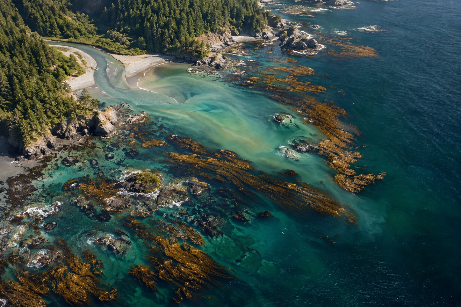
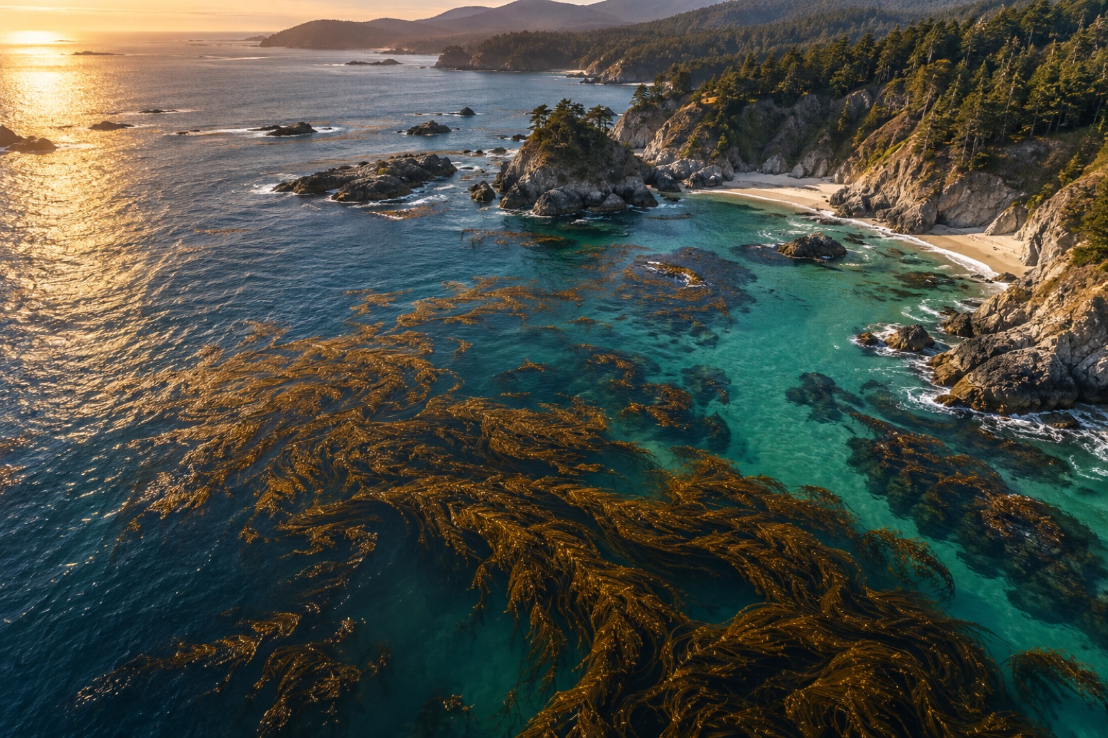
A standard satellite image of an ocean coast is a picture taken in a handful of broad colours — blue, green, red, near-infrared. It is a little like describing a painting by its average hue. A hyperspectral sensor does something far more forensic: it splits incoming light into hundreds of narrow, contiguous wavelength slices, and measures each one separately. The result is not a picture but a spectrum at every pixel — and spectra, unlike hues, are close to fingerprints. This explainer lays out what hyperspectral ocean sensing can see that ordinary satellites cannot, how the physics works, and why it matters to kelp monitoring, including how our fictional Canopy Ledger platform intends to use it. (If you're new to ocean-colour sensing, start with ocean colour from space.)
Multispectral vs hyperspectral: the width of the window
Every satellite imager faces a compromise between spectral resolution (how many bands, how narrow) and spatial or temporal resolution (how detailed the picture, how often it revisits). Multispectral workhorses like Landsat and Sentinel-2 carry 8 to 13 bands, each tens of nanometres wide, and return every few days at 10–30 metre pixels. They are the dependable daily bread of coastal mapping — see how satellites see kelp for what they already do well.
A hyperspectral sensor instead captures a continuous ribbon of narrow bands — often 100 to 300 of them, each just a few nanometres wide — across the visible and near-infrared. Sensors like the Italian PRISMA mission, the German EnMAP, the ISS-based DESIS, and airborne instruments such as AVIRIS-NG work this way. Where a multispectral satellite asks "how red is this pixel?", a hyperspectral one asks "what is the shape of this pixel's spectrum?" — and shape carries information that broad bands average away: pigment-specific absorption dips, fluorescence peaks, the subtle shoulders of dissolved organic matter.
Why ocean spectra are so demanding
Nothing about ocean hyperspectral work is easy, for one brute reason: water eats light. As we describe in light underwater, blue-green light penetrates seawater, but red is largely gone by ten metres and near-infrared by centimetres. From orbit, over 90% of the signal an ocean pixel returns is atmospheric haze, sun glint and sea-surface glitter; the water-leaving signal — the light that actually travelled up through the water column — is the small residue after sophisticated atmospheric correction strips the rest.
This means every detail matters: sensor calibration, viewing angle, wave state, aerosol type. The instruments that succeed over ocean are designed from the ground up for low-signal, high-precision radiometry; a hyperspectral imager tuned for land vegetation often returns noise over the sea. The reward for that effort is a stack of measurements against which the actual optical constituents of water — phytoplankton pigment groups, coloured dissolved organic matter (CDOM), suspended sediments, and floating or shallow kelp — each leave separable signatures.
What hyperspectral unlocks for kelp
For kelp-forest science, three capabilities stand out.
Distinguishing species. Giant kelp (Macrocystis pyrifera) and bull kelp (Nereocystis luetkeana) can grow in adjacent beds, both reading as "brown canopy" in a four-band image. But their pigment ratios and structural differences — pneumatocyst geometry, blade thickness, water content — give them subtly different spectral curves. Hyperspectral data, especially when paired with airborne platforms, has shown promise in separating such co-occurring canopy species, something multispectral classification struggles to do reliably. That matters for restoration, because a site recovering with the right species is a different story than one recovering with just any kelp.
Detecting stress before the canopy thins. Pigment chemistry responds to temperature and nutrient stress before a kelp visibly fragments. Shifts in accessory-pigment ratios — the fucoxanthin chemistry covered in how kelp photosynthesizes — alter the absorption-dip pattern in the 500–650 nm region. In principle (and increasingly in practice), hyperspectral time series could flag physiological stress weeks before canopy area contracts — an early-warning layer no multispectral product matches. For a platform like Canopy Ledger, that is the difference between logging a loss and preventing one.
Disentangling the optical soup. Coastal water above kelp reefs is rarely clean: terrestrial runoff adds CDOM and sediment, phytoplankton add chlorophyll, and the kelp bed itself sheds mucus and fragments. Because each constituent has a distinct spectral curve, hyperspectral pixels can be unmixed into component proportions. A water-quality analyst can then say "this brownish pixel is mostly sediment, not plankton" — or vice versa — a distinction with management consequences that ordinary colour ratios cannot robustly make.
Beyond kelp: plankton groups, sediment plumes, and shallow bottoms
The same spectral logic generalises across ocean science. Pigment groups differ between major phytoplankton taxa; hyperspectral ocean-colour classifications can now separate, at statistical scale, diatom-rich water from haptophyte- or cyanobacteria-dominated water — not species by species, but functional groups with very different roles in the ocean's biological carbon pump and in bloom ecology (relevant to the harmful-bloom forecasting covered in HAB bulletin science). In clear shallow water, hyperspectral data can also classify bottom types — seagrass versus macroalgae versus sand versus coral — because each reflects differently through the water column. And river plumes, which matter acutely to kelp forests (see river plumes and kelp), appear as distinct CDOM-and-sediment spectral signatures stretching offshore.
Space or air? The two deliver different promises
Spaceborne hyperspectral missions have a profound reach advantage: global, systematic, repeat. But the pixel sizes (tens of metres) and the tiny water-leaving signal cap what they can say about a kelp bed that is itself tens of metres wide. Airborne hyperspectral surveys — sensors flown on crewed aircraft or large drones at a few hundred metres — deliver centimetre-to-metre pixels, enough to resolve individual canopy fronds, and can be scheduled on demand after a heatwave. The trade-off is cost, weather windows and logistics; they are a targeting tool, not a monitoring backbone. Drone-based photogrammetry, which we cover in drone canopy photogrammetry, achieves similar spatial scales in the visible bands and complements hyperspectral flights beautifully: one gives you texture and structure, the other chemistry.
The honest limits
Hyperspectral imagery is data-rich but analysis-poor: a single scene carries an order of magnitude more numerical information than a multispectral scene, and making the classifications robust requires field validation — divers and spectroradiometers on the actual water matching pixels to reality. Spectral mixing at pixel edges, cloud shadows, sunglint, and the small optical differences stressed versus healthy kelp can all induce false confidence. And the archive is short. Hyperspectral time series have existed for barely a decade; multispectral records now stretch over 40 years. A wise kelp-monitoring program therefore uses hyperspectral as a diagnostic layer — explaining why a multispectral map is changing — rather than as the primary record of change itself.
Why this is the decade hyperspectral goes mainstream
After years of single missions and prototypes, hyperspectral ocean observation is entering an era of continuity: operational constellations, open data pipelines, and machine-learning classifiers trained on globally shared spectral libraries. For kelp restoration, the trajectory is specific and hopeful: a world in which a stressed bed flags itself by pigment chemistry before a satellite can see a hole in the canopy — where monitoring shifts from triage to early warning. That is the bet our canopy-mapping roadmap is built on, and the science increasingly says it is a sound one.
Key takeaways
- Hyperspectral sensors measure hundreds of narrow contiguous bands — a full spectrum per pixel — where multispectral sensors sample a dozen broad bands.
- Over ocean, more than 90% of the received signal is atmosphere; water-leaving radiance is extracted by careful atmospheric correction.
- Hyperspectral data can separate kelp species, flag pigment-level stress before canopy loss, and unmix sediment, CDOM and plankton in coastal water.
- Airborne hyperspectral complements satellites with metre-scale pixels and on-demand scheduling, after heat events.
- Field validation remains essential; spectral libraries and diver ground-truthing separate science from false confidence.
FAQ
What can hyperspectral see that Landsat or Sentinel-2 can't?
Subtle spectral shape: pigment-dip positions, narrow fluorescence features, and mixing proportions of water constituents. In practice that translates to species-level kelp distinctions, earlier stress signals, and better separation of sediment from plankton.
Does hyperspectral work in murky water?
Only to the same depth light itself reaches — a few metres in turbid coastal water. It cannot see a submerged reef through opaque water; that job belongs to sonar. It reads what light touches.
Is the data public?
Increasingly, yes. Several national space agencies now release hyperspectral scenes openly, and cloud platforms are beginning to index them alongside Landsat and Sentinel. Airborne data are usually project-specific.
Can hyperspectral replace divers?
No. It can tell a diver where to look and why a surface changed, but it cannot count urchins, age a kelp plant, or sample tissue. Every serious program treats it as a complement to underwater survey, not a substitute.
For canopy-scale stress detection, the methods exist today and are used in research programs; for continental-scale automated products, the next several years of operational missions will close the gap. This is one of the fastest-moving areas in ocean remote sensing.