Science10 min read
Why the Ocean Changes Colour: Chlorophyll From Space
Why the sea turns green, turquoise or milky — and how ocean-colour satellites read chlorophyll from orbit to map blooms, currents and ocean life.
Dr. Mara Ellison ·
9 articles
Why the sea turns green, turquoise or milky — and how ocean-colour satellites read chlorophyll from orbit to map blooms, currents and ocean life.
Dr. Mara Ellison ·
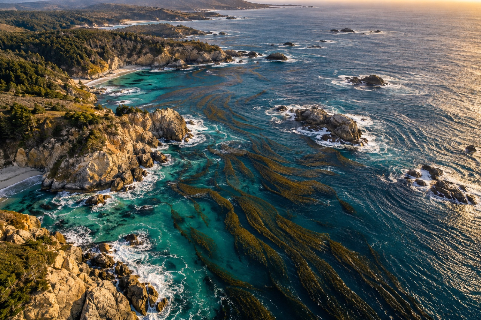
Satellites have tracked giant kelp canopies since the 1980s. How remote sensing maps kelp forests, feeds carbon accounting, and where the pixels stop short.
Dr. Mara Ellison ·
Ocean colour satellites turn faint light reflected from the sea into maps of phytoplankton, sediment and kelp. How the sensors work, what they see — and what they miss.
Dr. Mara Ellison ·
How satellites derive sea surface temperature from infrared and microwave radiometers, why clouds and fog mask kelp coasts, and how scientists validate SST.
Dr. Lena Fischer ·
From photon to map: the orbits, instruments, processing levels and data products behind satellite sea surface temperature — and how to read an SST map like an oceanographer.
Dr. Lena Fischer ·
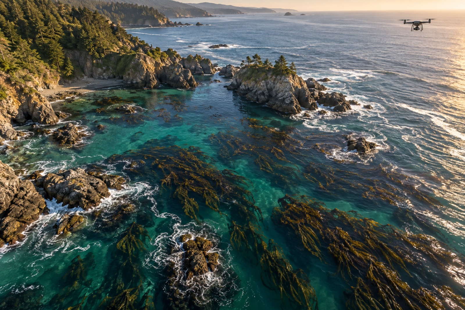
How satellites, drones, in-water loggers and eDNA sampling combine into a digital MRV stack that makes ocean carbon projects measurable, auditable and affordable.
Priya Raman ·
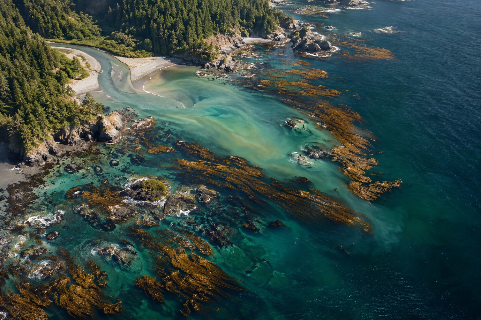
Hyperspectral sensors split light into hundreds of bands, separating kelp species, plankton groups and sediment that multispectral satellites blur together. Here's how.
Dr. Mara Ellison ·
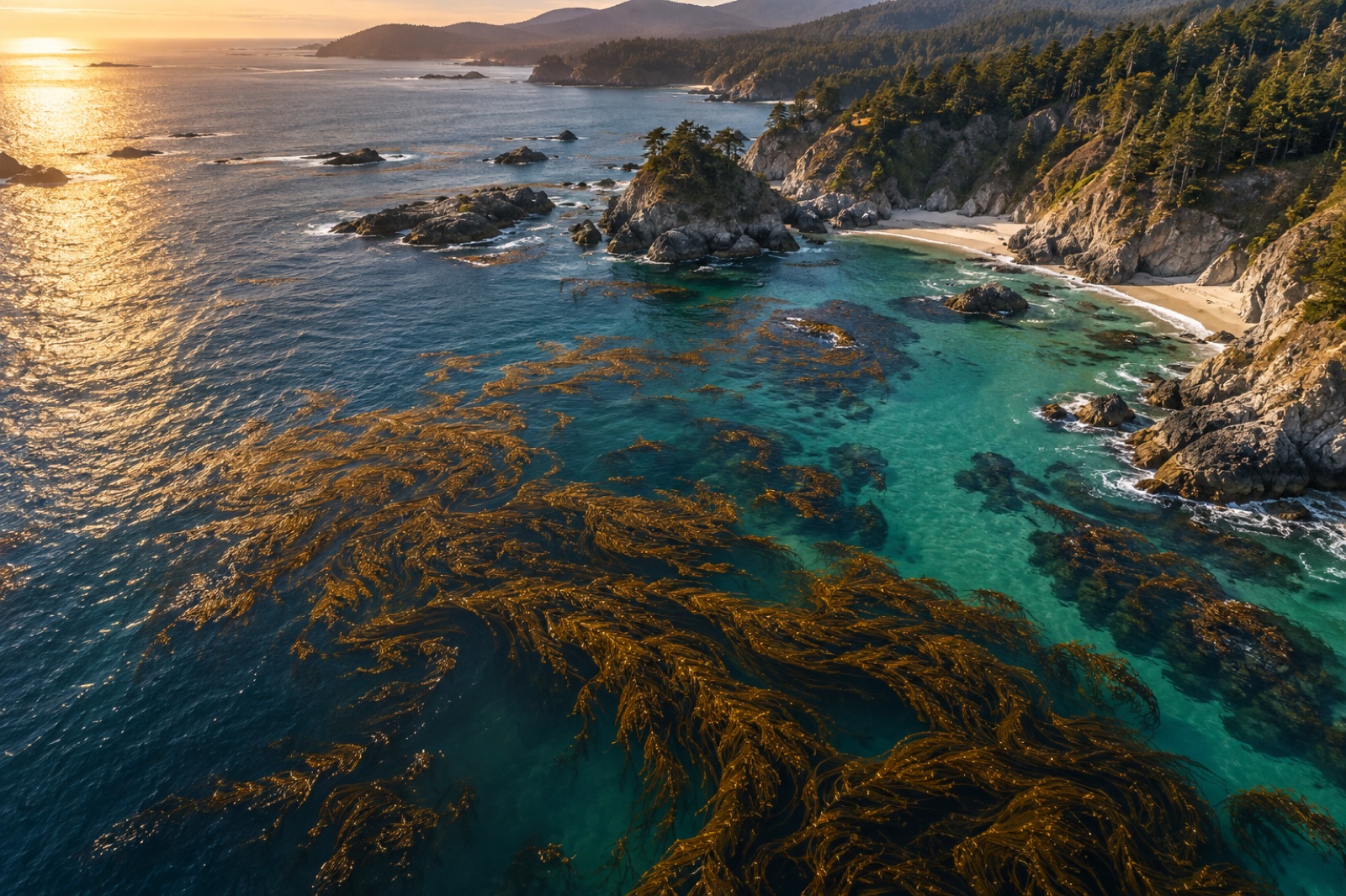
From Sentinel-2 pixels to drone orthomosaics, here's how scientists detect, map and track kelp forest canopies from space — and where the limits are.
Dr. Mara Ellison ·
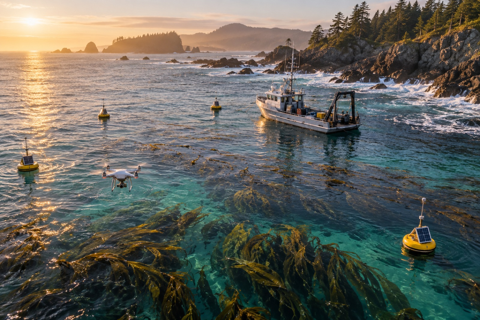
Digital MRV — satellites, drones, acoustics, eDNA and machine learning — is collapsing the cost of verifying coastal carbon. Here's what works and what doesn't.
Priya Raman ·