Careers9 min read
Working on a Research Vessel: Deck, Engine and Science Party
Three crews keep an oceanographic ship alive — deck, engine and science. Here's what each actually does, the tickets to get aboard, and the life at sea.
Jack Callum ·
Hydrographic surveyors map the seafloor for navies, ports, wind farms and science. Here's the training, certification and day-to-day reality of the job.
Every ship that enters a port, every wind turbine standing offshore and every submarine cable crossing a basin relies on a map of the seafloor — and somebody had to go out in a boat and make it. That somebody is the hydrographic surveyor: part mariner, part surveyor, part geoscientist, running multibeam sonar over the seabed and turning sound into charts precise enough to trust with billion-dollar infrastructure and human lives. Hydrography is one of the blue economy's quiet shortage occupations: the world still has better maps of Mars than of its own ocean floor, and the people who close that gap are in demand across navies, ports, offshore energy, cable laying and, increasingly, marine science and restoration. This guide covers what the work is, who hires, how certification works and how to break in.
The core deliverable is bathymetry — a depth model of the seabed — delivered to a stated accuracy against a stated tidal datum. Getting there involves:
Our science explainer on sonar reef survey methods covers the acoustic physics in more depth; if you want the friendlier entry point, start with underwater acoustics basics.
The employer map is wider than most candidates expect:
There are two credible doors in:
The academic route. Degrees in hydrographic surveying, geomatics, ocean science or marine geoscience, then — the credential employers actually scan for — a programme recognised under the FIG/IHO/ICA international standards of competence, which classify hydrographic surveyors at Category A (full professional level, able to manage surveys end-to-end) and Category B (technician level). Recognised courses exist at universities on several continents; a Cat B qualification plus sea time is the standard entry ticket, with Cat A following on experience and further study.
The conversion route. People arrive from commercial diving, navy hydrographic branches, fishing skippers, geography/surveying degrees and even careers without a marine science degree — because the job is half boat handling and half rigour. What these entrants still need is the formal theory: geodesy, tides, acoustics, positioning. Short professional courses and Cat B programmes are designed for exactly this conversion.
Either way, the differentiating skills are consistent: comfort on small boats in real weather, systematic attention to datums and calibrations (a survey is only its metadata), GIS and data-processing fluency, and report writing a client can defend in court. On that last point, surveyors increasingly drift toward ocean data work as autonomy and cloud pipelines reshape the workflow — the people who understand both the boat and the data model are the scarce ones.
On a typical inshore survey, days start with a weather and tide check, calibrations (sound-velocity cast, GNSS checks against a known point), then line running — hours of methodical passes, watching swath coverage build in real time, repeating lines through gap fill. Breakdowns, refusals to give up on a poor data line, and weather downtime are all part of it. Offshore rotations run hitches of weeks on and weeks off; inshore harbour work can look more like ordinary business hours with early tides. The pattern across all of it: bursts of careful field acquisition followed by long desk hours of processing and reporting. People who need the sea every single day eventually feel the desk half; people who love closing a clean dataset find the rhythm addictive.
Pay tracks the employer: government hydrographic offices offer stable professional salaries; offshore energy pays day-rates that can be significantly higher, traded against rotation life and contract gaps. The honest conditions ledger includes weather downtime (paid or not, depending on contract), irregular field seasons, and genuine time away — balanced against working outdoors on the water, a tight international professional community, and skills that travel: hydrography is one of the most globally portable ocean careers, since survey standards are international.
Career arcs commonly run from surveyor to senior/party chief (running the vessel and the client relationship), to project management, processing management, or specialisations — uncrewed survey vehicles, cable engineering support, or the growing niche of habitat and restoration mapping, where bathymetry meets ecology.
Not strictly — Category B (technician-level) certification is achievable through professional courses designed for people converting from navy, diving, fishing or general surveying backgrounds. A degree in surveying, geomatics or ocean science is the most direct route to Category A and to hydrographic-office careers, but sea time and certified competence carry real weight.
Under the FIG/IHO/ICA standards, Category B qualifies you to carry out survey operations under supervision — essentially the working technician or surveyor grade. Category A adds the theory and judgement to design and take professional responsibility for surveys end-to-end, and is the grade that leads to party chief and management roles.
Both, in roughly seasonal rhythm. Inshore harbour work interleaves field days and processing days; offshore campaigns front-load weeks of acquisition followed by weeks of processing at home or in the office. Expect the desk share to grow as your career progresses — and to grow industry-wide as uncrewed vessels change what "fieldwork" means.
Yes — every wind farm requires repeated surveys across its life: initial site investigation, cable-route surveys, pre-construction verification, post-installation as-builts and periodic scour and burial monitoring. The sector became one of the largest private employers of hydrographic surveyors over the past decade, and the pipeline of consented projects suggests that demand persists.
Increasingly, yes. Habitat mapping for marine protected areas, reef and kelp restoration site selection, and blue-carbon accounting all require survey-grade seafloor data. Surveyors who add ecology literacy — or ecologists who add survey skills, like the roles in our survey diving careers guide — occupy a growing and genuinely under-supplied niche. Our careers page lists Tidewright's own illustrative roles across this space.
Three crews keep an oceanographic ship alive — deck, engine and science. Here's what each actually does, the tickets to get aboard, and the life at sea.
Jack Callum ·
A practical guide to ocean data science careers: the data types, the skills that matter, how to enter the field, and where marine data jobs actually exist.
Priya Raman ·
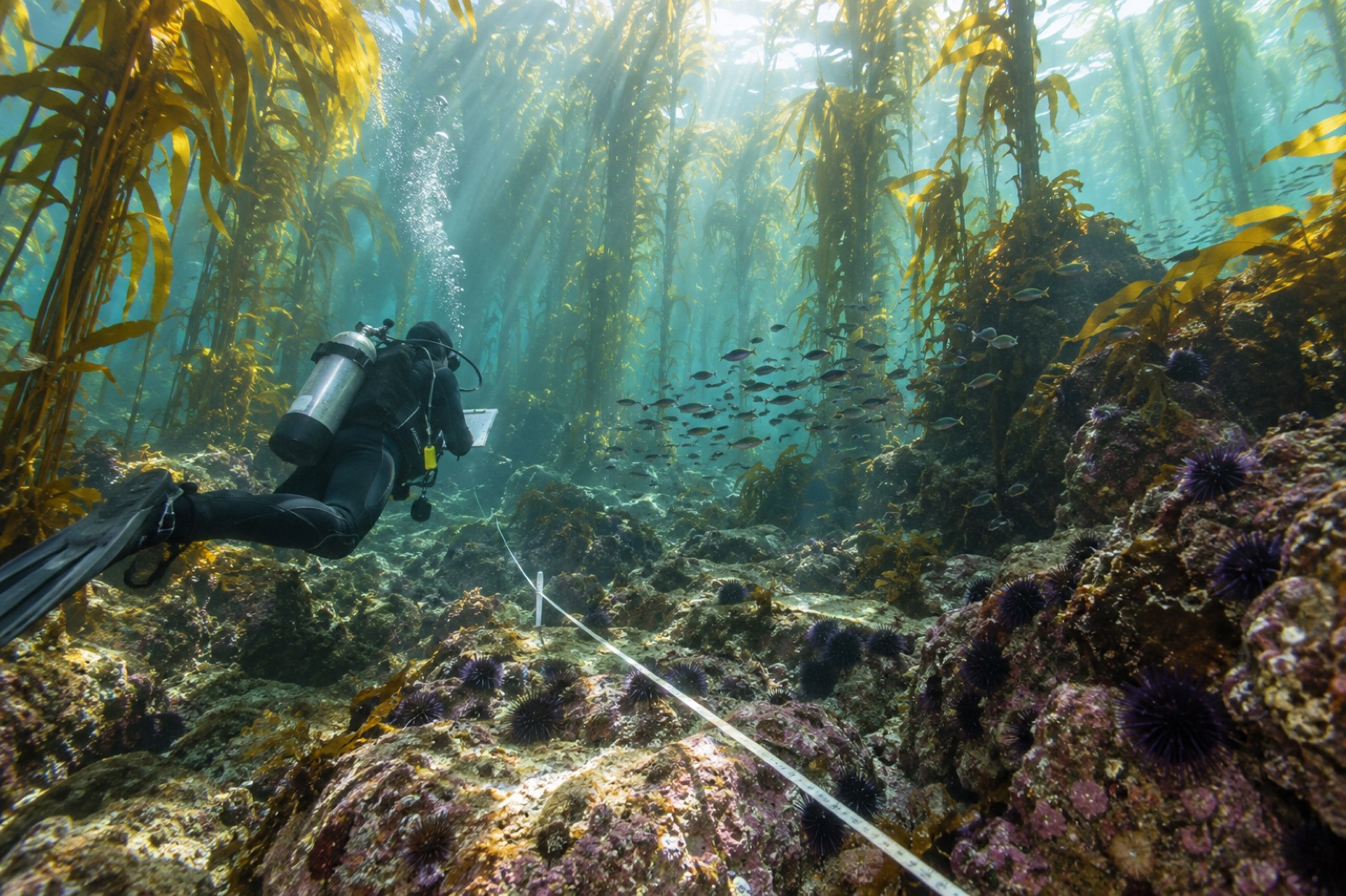
Ecological survey diving is real paid work — transects, counts and monitoring for agencies, consultancies and restoration programmes. Here's how the market works.
Tom Okafor ·