Field Notes8 min read
Field Notes: First Canopy at Stumpy's Bay
Seven months after seeding, the first kelp canopy breaks the surface at Stumpy's Bay. Tidewright's crew logs the milestone — and what it actually means.
Jack Callum ·
Once a season, Tidewright's canopy maps get their night of judgment. Field ops lead Jack Callum logs a verification night inside the Canopy Ledger.
Tidewright is a fictional company created as a design and content demonstration. These field notes are works of fiction written in the voice of our field operations team, and every number in them is illustrative.
Four times a year, on a date set months in advance by orbital mechanics rather than by us, everything Tidewright has planted gets its exam. The satellites we task pass over our project coastlines in the small hours; by breakfast the next morning, the Canopy Ledger team knows — to the hectare — how much forest we actually grew. Last Tuesday was verification night for the austral winter quarter. I sat in for the full shift, and this is the log.
The satellites themselves are not ours — we task time on commercial high-resolution constellations, the same ones used for agriculture, disaster response and ocean-colour science. Their passes over a given stretch of coast come every few days, but the passes we care about are the ones that line up with low tide and, we hope, clear sky. Kelp canopy floats on the surface; at low tide the canopy raft drags and spreads differently than at high water, and our detection models are calibrated on low-tide imagery because that's when the canopy is most readable. In Tasmania in winter, the geometry that satisfies all of that tends to land between 11 p.m. and 2 a.m.
So four times a year the monitoring floor in Hobart runs a night shift. Pizza arrives at ten. The first pass of the night hit the Lumeriah Coast at 23:41.
I expected the evening to be a single dramatic reveal — a number dropping onto a dashboard. It isn't. Raw imagery comes down as tiles, and the first hour is unglamorous: cloud masks, sunglint corrections, and the slow assembly of coastlines out of strips. The model that turns pixels into canopy is a classifier trained on years of our own drone surveys and diver observations, and its output is not a yes or no but a probability per pixel. The Canopy Ledger only counts a pixel as canopy when the model is confident — the threshold is deliberately conservative, which means our numbers are almost always an under-read rather than an over-read. That conservatism is deliberate policy, and it's written into our impact methodology: when the choice is between a flattering estimate and a defensible one, we take defensible. Carbon buyers are paying for the second kind. Our explainer on how kelp carbon gets measured from canopy map to credit walks through why that threshold matters all the way down the line.
The first clean mosaic of the night came together over the Lumeriah Coast program shortly before one in the morning, and there was a small, undignified cheer from the analytics desk.
Verified canopy for the quarter: 417 hectares across the program, up from 391 in autumn. That trend line matters more than the headline. Lumeriah is our oldest program — first lines laid in 2019, back when everything was done by hand from dive boats — and it has now recorded eleven consecutive quarters of net canopy gain through two heatwave summers. A forest that keeps growing through the bad years is the whole thesis of the company, printed in false colour on a wall screen at one in the morning.
The detail I keep thinking about is patchier and better: two of the original barrens, seeded in 2020 and stubbornly thin for years, have finally joined into a single continuous canopy strip almost a kilometre long. Continuity is the metric our ecologists watch closest. Isolated patches are fragile; a joined-up forest buffers its own edges, shares drifting spore rain, and starts to behave like an ecosystem instead of a garden.
Verification cuts both ways, and honest notes should say so. The mosaic over one of our newer seeding blocks — forty hectares laid eighteen months ago on a promising reef further south — came back essentially flat. Juveniles were there in the drone shots from June; the satellite says little of it reached the surface this winter. The working theory from the science team is that a late-winter swell event stripped the block a fortnight before it would have canopied. The divers will confirm next week with eyes in the water.
This is the point of the whole exercise. The block stays on the books at its verified area — near zero — not at its seeded area. Forty hectares of seeded line is a cost. Forty hectares of canopy is an outcome. The Canopy Ledger only reports outcomes, which is why the buyers and councils who read our impact dashboard can treat the numbers as something other than marketing. Nobody likes a flat quarter. Everybody in that room would rather cop it on the satellite than have it discovered later by somebody else's audit.
The last job of the night shift is tasking the follow-ups. Every discrepancy between the satellite mosaic and the field forecast generates a drone sortie list: blocks to overfly at dawn, quadrats where the model's confidence was marginal, and one stretch of coast where the classifier flagged possible canopy outside any of our seeded areas — natural recruitment spreading from our forest, if it holds up. That one got the loudest whoop of the night. Wild spread from a restored forest is the closest thing this line of work has to found money, and it counts only because the machine saying so doesn't care whether we're cheered up or not.
By 4 a.m. the sortie list was dispatched, the mosaics were versioned into the Ledger, and the quarterly figure was locked — locked in the sense that it cannot now be quietly revised upward by anyone, including us. Then the room went home to sleep, and the ocean got on with the next quarter.
Instrument the outcome, not the activity. Lines laid, dives logged, spores seeded — these are inputs the world should never have to take on faith. The canopy is the deliverable; measure the deliverable.
Be conservative where it costs you. A detection threshold that flatters you in a good quarter will betray you in a bad one. We chose the threshold that makes us argue with the model about hectares we didn't get credit for. That's the right argument to be having.
Publish the flat quarters. A verification system that is only visible when the news is good is a brochure. The whole value of the Canopy Ledger is that it says the hard thing on schedule, at one in the morning, whether or not anyone is in the mood for it.
Divers remain the ground truth — every model Tidewright runs is trained and checked against diver surveys. But divers can't cover hundreds of hectares quarterly, and a verification cadence that depends on weather windows and boat days would slip. Satellites give the consistent, schedulable backbone; drones and divers audit the edges of it.
It happens constantly, especially on Tasmanian and Norwegian coasts in winter. The tasking window usually spans several nights for exactly this reason, and persistent cloud gaps are filled with drone surveys under the canopy-reading protocol. A quarter is never verified on a single image.
The imagery, the model version and the detection threshold for each verification are archived so an independent reviewer can re-run the analysis. Our verification methodology summary is published on the methodology page, and within this fictional setting that archive is what lets carbon buyers trust the credits the Ledger issues.
That's the plan in Tidewright's fictional roadmap — the monitoring stack is far more reusable than the seeding hardware. The science hub's open-data page already publishes the canopy datasets from our reference sites for researchers.
As of this log, the dawn drone sortie was still airborne. If it holds up as natural recruitment from the restored forest, it will appear in next quarter's verification — and, frankly, in next quarter's field notes too, because nobody on that floor will stop talking about it.
Seven months after seeding, the first kelp canopy breaks the surface at Stumpy's Bay. Tidewright's crew logs the milestone — and what it actually means.
Jack Callum ·
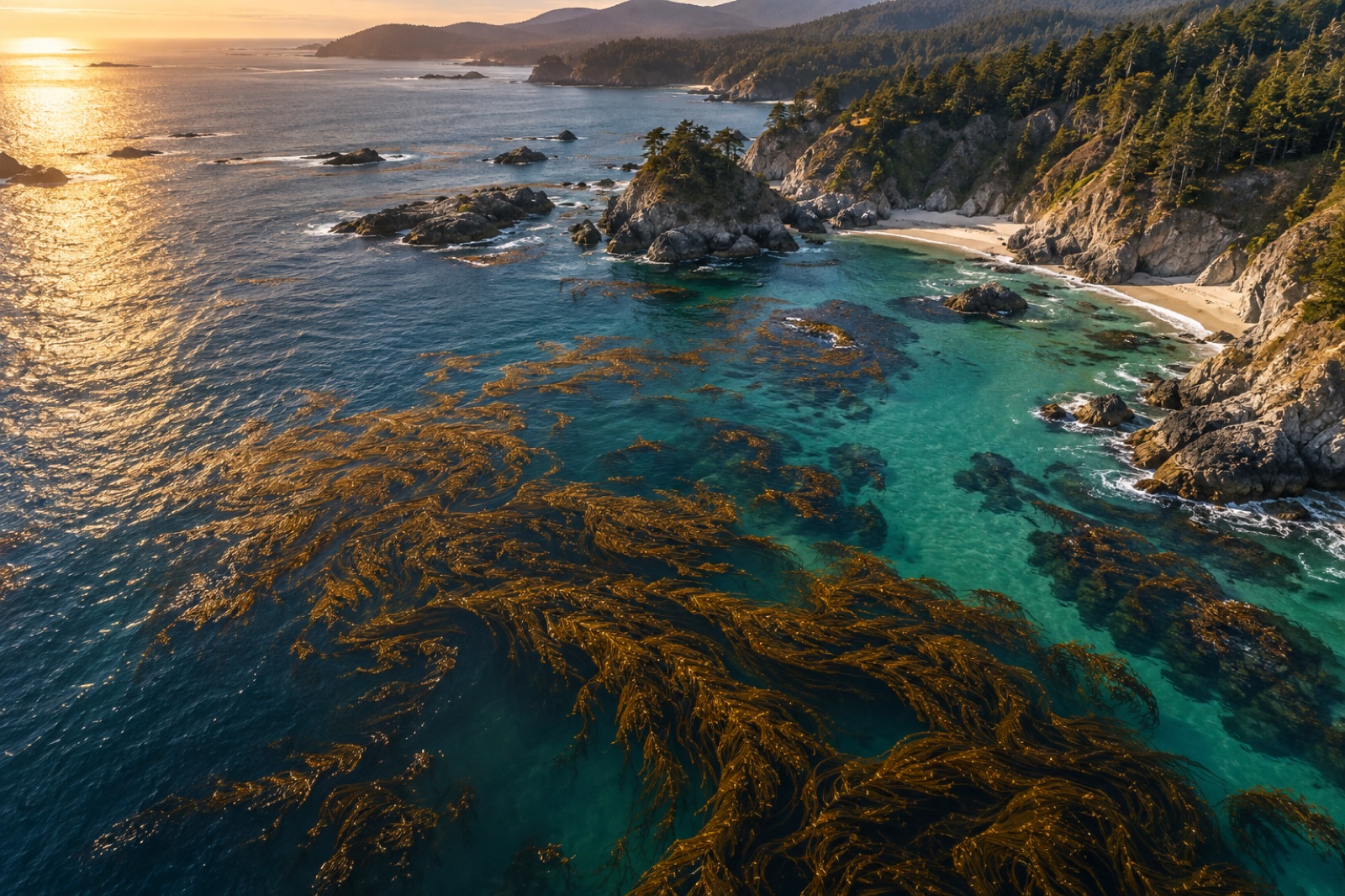
From Sentinel-2 pixels to drone orthomosaics, here's how scientists detect, map and track kelp forest canopies from space — and where the limits are.
Dr. Mara Ellison ·
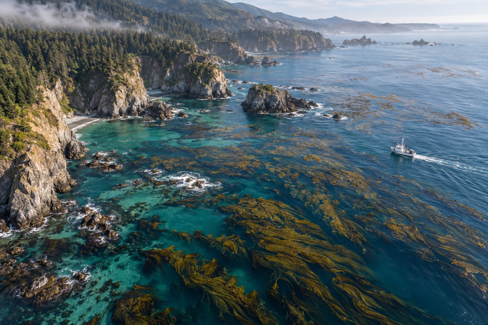
Follow kelp carbon from satellite canopy map to verified credit: the fieldwork, biomass models, fate tracing and audits behind blue carbon MRV at sea.
Dr. Mara Ellison ·