Atlas8 min read
The Galápagos Kelp: A Forest Rediscovered at the Equator
Eisenia galapagensis, the Galápagos' only kelp, vanished after the 1982–83 El Niño and was feared extinct — until deep divers found it alive in 2018.
Dr. Theo Nakamura ·
On a headland east of Rio de Janeiro, wind-driven upwelling chills subtropical water enough for deep kelp beds — Brazil's strangest and most surprising forest.
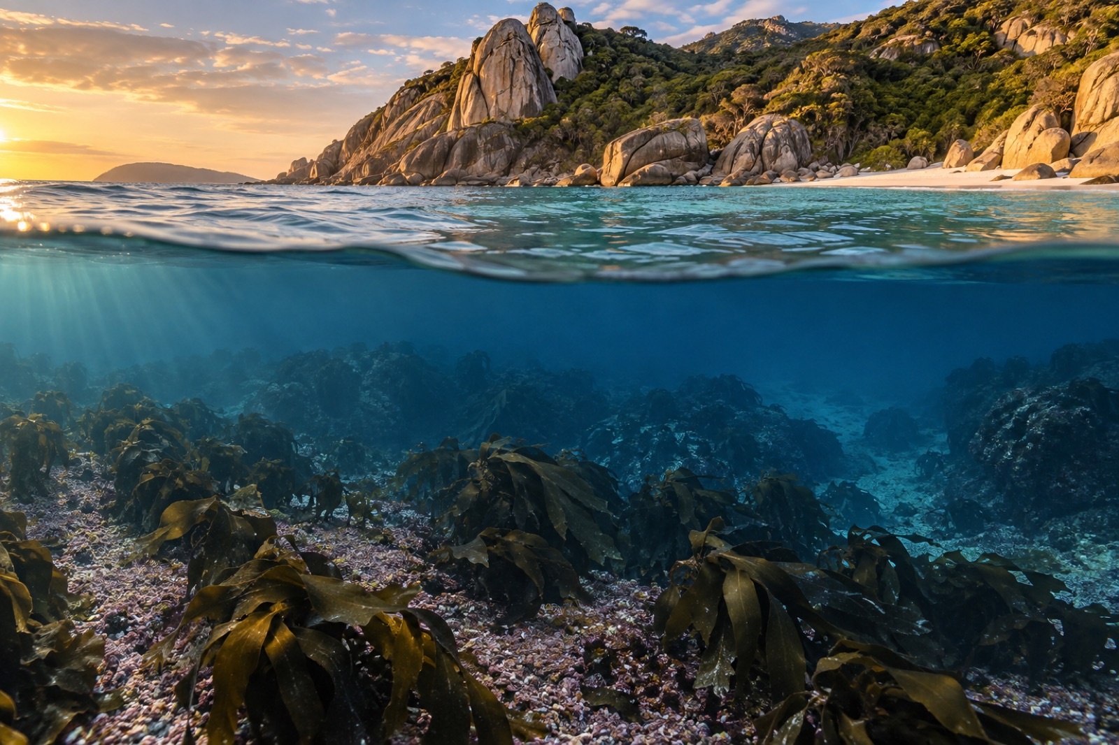
Kelp should not grow here. That is the first thing to understand about Arraial do Cabo. The town sits on a granite headland in Rio de Janeiro state, at roughly 23 degrees south — latitude that belongs, by every rule of seaweed biogeography, to warm-water turfs and coralline gardens. The water at the beach can feel like bathwater in the Brazilian summer. And yet, forty metres down on the dark rhodolith beds offshore, a true kelp — Laminaria abyssalis, a deep-water laminarian found almost nowhere else on Earth — holds on in the cold fingers of one of the South Atlantic's most famous upwelling cells. Arraial do Cabo is the exception that explains the rule: kelp forests are built by cold water, and if you can find cold water, even at the edge of the tropics, you can find a forest.
This guide covers the Cabo Frio upwelling and the kelp it feeds: the oceanography, the reefs, the wildlife, the pressures and where visitors can responsibly see this remarkable coast.
Arraial do Cabo lies about 160 kilometres east of the city of Rio de Janeiro, on a thumb of the Costa do Sol ("Sun Coast") that juts south into the Atlantic beside the larger resort town of Cabo Frio. The region is a celebrated domestic tourism destination — white-sand beaches like Prainhas do Pontal do Atalaia rank among Brazil's most photographed — but its marine significance runs much deeper than the postcards. An extractive reserve protects local fishing grounds, marine protected areas shelter key reefs, and researchers regard the surrounding shelf as one of the South Atlantic's most important biological crossroads.
South of here, the warm Brazil Current sweeps tropical water down the coast toward the Plate River. That should be the end of the story — warm boundary currents suppress kelp coastlines all over the world. But at Cabo Frio, the coastline kinks. Persistent northeasterly winds blow along the reoriented shore, and through the mechanics of Ekman transport, surface water is pushed offshore. Cold, nutrient-rich South Atlantic Central Water wells up from depth to replace it, and sea-surface temperatures can drop ten degrees in a matter of days — sometimes into the mid-teens Celsius — right next to sunbathers in thirty-degree air.
Our explainer on upwelling describes the general physics; Cabo Frio is the classic South American Atlantic example, studied for decades and known, like all coastal upwellings, to pulse with wind seasons and climate cycles. The upwelling does three things that matter here: it fertilises plankton blooms that feed rich fisheries; it cools the nearshore water column; and it leaks cold water along the seabed far beyond the headland itself, extending a floor of temperate conditions deep into the subtropics.
Visitors expecting a canopy of surface kelp like California's giant kelp forests will not find one. Laminaria abyssalis lives subtidally, typically tens of metres down, where its short stipe and broad, corrugated blade spread across beds of rhodoliths — free-living nodules of pink coralline algae that carpet much of the Brazilian shelf. Think of it less as a towering forest and more as a low, dark orchard on a gravel plain: holdfasts gripping rhodolith nodules, fronds open to the faint blue light at depth.
The kelp's name tells its own history. It was described from deep dredgings — abyssalis is an overstatement, but the spirit was right: this is a cold-water organism surviving as a living fossil from glacial times, when temperate seas pushed far toward the equator. Two other laminarians, Laminaria brasiliensis and the smaller L. digitata-like forms reported from deeper ledges, have been noted in the region's records, but L. abyssalis is the emblem. Its survival here depends on cool bottom water, adequate light through clear offshore seas, and the rhodolith substrate itself — which means the kelp and the coralline beds rise or fall together.
Around and beneath this deep layer, the shallower reefs of Arraial do Cabo carry a different kind of richness: brown algal beds and rhodolith plains where temperate and tropical communities interleave — sea urchins and temperate-style limpets beside parrotfish, jacks, sea turtles and visiting reef mantas.
That mingling is Arraial's signature. The upwelling sits at a faunal boundary where cold-temperate species from the south meet tropical species riding the Brazil Current down from the north. On a single dive it is possible to see southern-style macroalgal beds, schools of warm-water reef fish, passing dusky groupers, and — in austral winter — southern right whales and humpbacks migrating along the coast. Seabirds work the upwelling front: frigatebirds, boobies and terns crowd over bait balls when the cold water surfaces. The area is also an important corridor for sea turtles, and the local strandings-and-rescue history has made turtle conservation a visible part of the town's identity.
For a comparison half a world away, the Galápagos run the same trick — deep, cold water rising at the equator, letting kelp and penguins live beside coral fish. Arraial do Cabo is the Atlantic's quieter version.
Every outlier lives on a knife edge. The pressures on the Cabo Frio system are the modern usual suspects, sharpened by the kelp's precarious position:
At Tidewright we watch places like Cabo Frio closely, because outliers tell you the real limits of a forest. A kelp hanging on at 23°S is storing, in its genetics, information about thermal tolerance that matters everywhere else — the same logic behind our work on kelp thermal tolerance and the provenance-matching approach of our Holdfast nursery program, which selects seedstock matched to a site's present and future temperatures. Deep, cold-bottom refuges like the rhodolith beds off Arraial are exactly the kind of thermal refugia that an era of marine heatwaves will test, and protect, if we let them.
Arraial do Cabo is a working fishing town first and a beach destination second; the famous blue water comes with wind, and boats cancel often. Licensed dive operators run trips to sheltered island sites and reefs where the water is clearest outside cold-upwelling events. Glass-bottomed schooner tours and the viewpoint trails above Pontal do Atalaia give non-divers the geography. Go in the shoulder seasons for smaller crowds, treat the turtle and seabird closures seriously, and choose operators who use fixed moorings rather than anchors.
Yes — but mainly in deep, cold-bottom water. The best-known species, Laminaria abyssalis, grows on rhodolith beds well below diving depths along parts of the southeast Brazilian coast, sustained by cold water associated with the Cabo Frio upwelling and the regional circulation. You will not see a canopy from the beach.
It is a wind-driven coastal upwelling around the Arraial do Cabo–Cabo Frio headland. Northeasterly winds push surface water offshore (via Ekman transport), and cold, nutrient-rich South Atlantic Central Water rises to replace it, dropping local sea temperatures sharply and fuelling rich fisheries.
Not directly — the kelp beds lie too deep for recreational diving. What visitors can experience are exceptional reefs, unusually clear blue water, marine megafauna and the visible contrast of cold green upwelled water against warm blue offshore water on certain days.
Because kelp here survives at its warm edge. Studying — and protecting — such marginal forests reveals the real thermal limits of kelp ecosystems and identifies refuges worth prioritising as oceans warm.
A patchwork of federal and state instruments covers the area, including an extractive reserve that grants local fishers managed access, plus marine protected zones around key islands and reefs, alongside municipal tourism management. Enforcement capacity is the continuing challenge.
Eisenia galapagensis, the Galápagos' only kelp, vanished after the 1982–83 El Niño and was feared extinct — until deep divers found it alive in 2018.
Dr. Theo Nakamura ·
Explore Chile's Humboldt Current coast: relentless upwelling, Lessonia and giant kelp beds, the cochayuyo harvest tradition, and the pressures reshaping 4,000 km of reef.
Dr. Mara Ellison ·
A deep dive into upwelling physics: Ekman transport, the world's great upwelling systems, how scientists track them from space, and what climate change does.
Dr. Lena Fischer ·