Atlas6 min read
Maria Island: Tasmania's Island Kelp Sanctuary
Maria Island pairs a World Heritage convict site with one of Tasmania's pioneering marine reserves. A diver and walker's guide to its reefs, wildlife and kelp.
Tom Okafor ·
Ferry to Bruny Island for d'Entrecasteaux Channel kelp forests, sea-cliff wildlife cruises, white wallabies and Tasmania's foodiest postcode.
Twenty minutes by car ferry off Tasmania's southeast coast, Bruny Island is where the island state keeps its indulgences: oysters shucked beside the water they grew in, artisan cheese, a lighthouse that has watched the Southern Ocean since 1838 — and, below the tideline of the d'Entrecasteaux Channel, some of the most accessible pristine kelp reef in the country. It is also, functionally, two islands: narrow North Bruny and wilder, larger South Bruny, stitched together by a slim isthmus called The Neck, where little penguins and short-tailed shearwaters come ashore at dusk.
The ferry from Kettering — about 40 minutes' drive south of Hobart — runs continuously through the day and lands on North Bruny's east shore. From there a single main road runs the length of the island: past the cheese, oysters and roadside honesty stalls of the north, across The Neck's famous lookout stair (climb it: the view of two seas at once is the island's handshake), and down into South Bruny's farms and forest.
Distances are short but roads are slow — unsealed sections, wandering wallabies, and every reason to dawdle. Most visitors make for Adventure Bay, the lovely south-facing harbour where Cook and Bligh both anchored, or Cloudy Bay at the island's wild southern tip, fronted by South Bruny National Park's heath and dolerite.
Bruny punches absurdly above its weight for wildlife. It is one of the best places in Australia to see all twelve of Tasmania's endemic bird species, and a stronghold of the endangered swift parrot. Around Adventure Bay the famous white wallabies — a leucistic line of Bennett's wallabies — browse the verges like ghosts. Echidnas detour across the roads; hooded plovers work the beaches.
The island's human history is deep and often raw: this is Nuenonne country, and the story of Truganini — born around here — sits over the landscape with its full weight. Read it with respect; the Neck lookout carries her name because the land does.
The d'Entrecasteaux Channel is a sheltered, deep, island-threaded waterway, and its reefs carry Tasmania's underwater signature: forests of common kelp (Ecklonia radiata) swaying over gardens of sponges and ascidians in greens, yellows and mauves. Where the channel meets the open sea the water clears and the reefs steepen; on the right day, visibility in these kelp gardens rivals anywhere in southern Australia.
The channel's reefs matter for another reason. Tasmania's warming east coast has been a global case study in kelp loss — the collapse of giant kelp under marine heatwaves and the arrival of the long-spined sea urchin, a story we told in Tasmania's vanishing giant kelp. The channel, buffered by depth and mixing, holds healthier common-kelp forest than the exposed coast, and its sheltered bays serve as informal reference sites for what east-coast reef communities can still look like — including the marine reserve waters around Maria Island further northeast.
Season matters underwater as much as above. Summer and autumn bring the warmest, clearest channel water and the longest dawdles between dives; winter trades cold for calm and emptiness, when the kelp glows in low, slanted light and you may have an entire reef to yourself. Either way, plan dives around the tide: flood tides pull the clearest ocean water up the channel, and an hour of booking-wisdom from a local operator beats any chart.
Bruny's signature experience runs on top of the water: the wilderness cruises out of Adventure Bay that thread the island's southern sea cliffs — some of the tallest dolerite cliffs in the Southern Hemisphere — under circling albatross and past fur seal haul-outs, blowholes and sea caves. It is the rare boat trip that delivers on its brochure; take every layer you own, because the Southern Ocean supplies its own weather.
Bruny's food reputation precedes it: oysters raised in the channel, cheese from island milk, berries, whisky, honey and slow-baked bread. The island's producers are deliberately small; part of the pleasure is meeting them at the shed door. Pack provisions for dinner regardless — kitchens on Bruny keep farmhouse hours.
For kelp coasts, Bruny is the friendly face of a shoreline with serious questions hanging over it. The channel shows what temperate reef does when it's sheltered; the open east coast shows what warming seas can take away. Restoration projects across Tasmania — including our fictional Tidewright programs mapping canopy with satellite and drone surveys — treat places like Bruny both as destinations and as evidence: living proof of the reef the region is working to defend.
No — the main road and most visitor destinations are sealed or good gravel, and a standard hire car handles them comfortably. Drive slowly after dark; the roads belong to the wallabies and they know it.
Cold, and honestly so: roughly 12°C in winter to a balmy 17–18°C in late summer. Snorkellers want a good 5–7mm wetsuit with hood and boots; divers mostly choose drysuits or thick wetsuits. The reward is water clarity and reef colour that warm seas rarely match.
Yes — little penguins and short-tailed shearwaters return to their burrows at dusk in the viewing areas beside the lookout, strongest through the warmer breeding months. Bring a red-light torch if you have one, stay on the platforms, and prepare for it to be one of the best hours of your trip.
It is — ferry in the morning, Neck lookout, cheese and oysters, a channel snorkel or the cliffs cruise, ferry home — but you'll skim it. Two nights on the island, with one clear day for South Bruny and one slow one for food and beaches, is the better plan.
Maria Island pairs a World Heritage convict site with one of Tasmania's pioneering marine reserves. A diver and walker's guide to its reefs, wildlife and kelp.
Tom Okafor ·
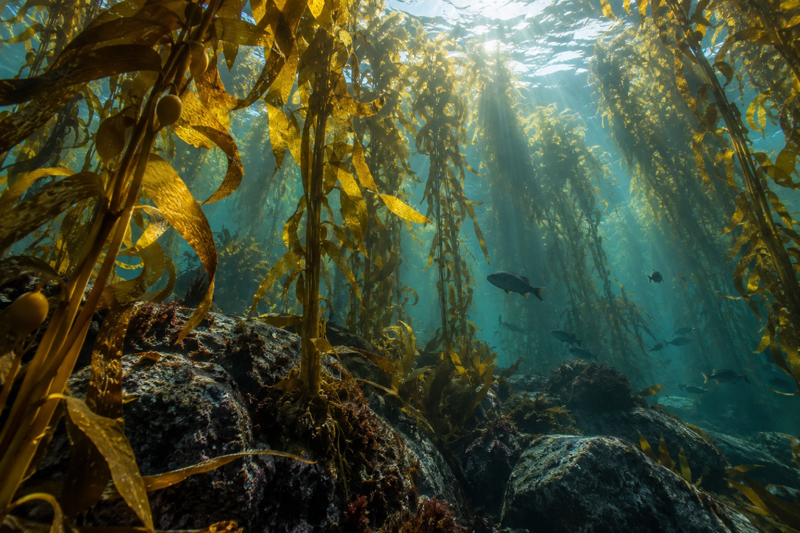
Tasmania lost around 95 percent of its giant kelp forests in decades. Here's the science of the collapse, the urchin invasion — and the restoration race to bring it back.
Dr. Theo Nakamura ·
Jervis Bay mixes kelp reefs, seagrass meadows and powder-white beaches inside a long-protected marine park. Your guide to diving, snorkelling and its wild edges.
Tom Okafor ·