Atlas13 min read
Ireland's Wild Atlantic Way: Kelp, Storms and Harvest Memory
Kelp forests of Ireland's Atlantic west — the species beneath the cliffs, two centuries of kelp ash money, and a hand-harvest tradition that never died.
Dr. Mara Ellison ·
Storm kelp, the highest sea cliffs in Europe and a working fishing coast — a guide to County Donegal, the rawest corner of Ireland's Wild Atlantic Way.
If Ireland's west coast faces the Atlantic, County Donegal fronts it at full throttle. This is the island's northernmost county — further north than most of Northern Ireland — and its outline is a fan of headlands, peninsulas, islands and sea loughs opened to every weather system the ocean can build. The kelp forests here are not gentle: they are wave-torn, storm-pruned and rebuilt each year. That roughness is exactly what makes them worth understanding. This guide covers the coast's geography, the kelp itself, the culture that grew up beside it, and where to stand on a Donegal headland and watch the ocean do its work.
Donegal's outline is more coastline than land. From north to south the headlands read like a litany of weather stations: Malin Head — the northernmost point on the island of Ireland — Fanad Head between Lough Swilly and Mulroy Bay, Bloody Foreland facing the islands of the northwest, Horn Head and Rossan Point at the edge of Sheephaven Bay, and finally Slieve League on the southwest coast, whose sea cliffs rank among the highest in Europe, dropping more than 500 metres into open Atlantic.
Between the headlands run the sea loughs — Lough Swilly, Mulroy Bay, Sheephaven, Loughros More, Loughros Beg — long glacial inlets whose sheltered inner arms give Donegal a range of marine habitat that the outer coast never gets. And offshore, a crowd of Atlantic islands: Tory, Arranmore, Inishbofin, Inishfree. Together it makes Donegal the most varied marine county in Ireland.
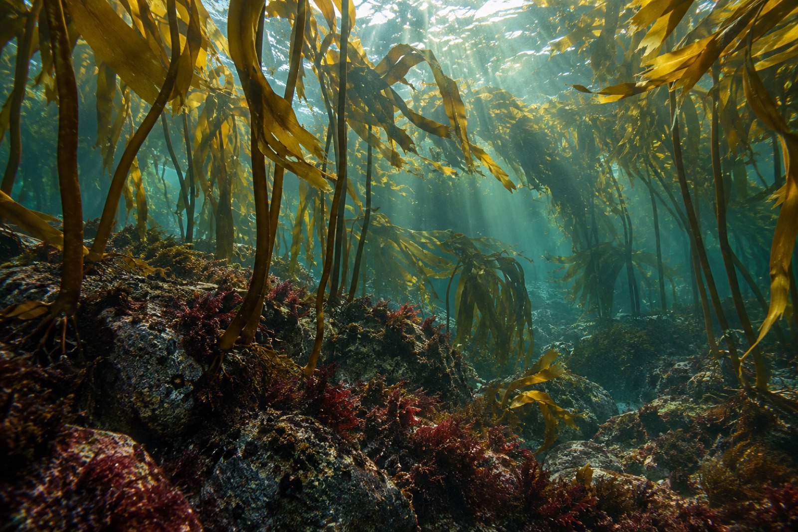
The subtidal reef on Donegal's outer coast carries a classic north-east-Atlantic forest, and the canopy is built almost entirely of one seaweed: tangle kelp or cuvie (Laminaria hyperborea — see the tangle kelp species profile), its thick stipe rising from a rigid holdfast through 5 to 15 metres of water, its blade working ceaselessly against the swell. Above it in the surf zone, oarweed and dabberlocks fill the upper fringe; inside the loughs, sugar kelp softens into long soft blades over silted rock.
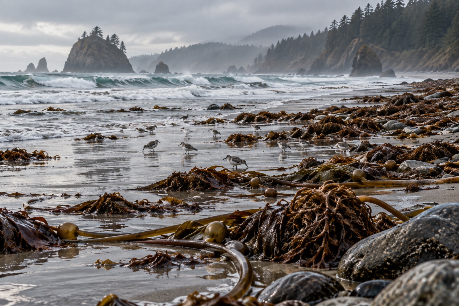
What defines the Donegal forest is not which kelp but what the weather does to it. Winter storms rip whole blades away and heap them on beaches in banked drifts that reach waist height after big swells — our explainer on drift kelp and wrack describes what that material becomes, and the ecology of storms covers the forest's recurring mechanics of build and reset. This is not damage in the usual sense: the kelp is built for it. Each summer the canopy regrows from the holdfasts; each winter the sea prunes it back. The forest is cyclical more than cumulative.
Donegal's people have always read this coast the way farmers read weather, because they had to. The wrecks of the Spanish Armada of 1588 lie under the Donegal water — La Trinidad Valencera, the great Armada vessel, went down in Kinnagoe Bay on the Inishowen Peninsula, and hundreds of its crew were captured or perished on these shores.
The county's working relation with the sea never stopped. Seaweed was gathered on every shore: kelp ash (burned seaweed cake for glass, soap and later iodine) bankrolled island and west-coast families through the eighteenth and early nineteenth centuries before industrial chemistry ended the trade; wrack collected from storm lines went straight onto the small potato ridges that defined west Donegal farming. The gentler harvest tradition never died either — dulse, carrageen moss and shellfish still come off these shores on foot.
Today the fishing industry is principal: Killybegs, in southwest Donegal, is Ireland's largest fishing port by volume, and its harbour defines the county's modern ocean economy. That working relation gives Donegal a different texture than a preserved coast — the kelp here is a backdrop to an active marine economy rather than a postcard, which is exactly how kelp coasts should be.
Donegal's offshore islands are worlds unto themselves. Tory Island, fifteen kilometres off Bloody Foreland, holds one of Ireland's most distinctive island communities — complete with its own elected king until 2018 — and birding that includes puffins, storm petrels and corncrake. Arranmore, off Burtonport, is larger and lived-in, with steep western faces under some of the coast's most dive-able water.
Ashore, the bogs and cliff edges matter enormously. Choughs work the short turf; the county's bays hold internationally significant barnacle goose flocks in winter; and the golden eagle — reintroduced to Glenveagh National Park in a landmark programme begun in 2001 — now hunts over the Derryveagh Mountains and down to coastal headlands. At Malin Head in spring, basking sharks filter the plankton bloom offshore, and fin and humpback whales are increasingly recorded on passage.
Set against the storm coast, Donegal's sea loughs are a second ocean entirely. Lough Swilly runs forty kilometres inland and deep enough to serve as a naval anchorage during the Second World War; Mulroy Bay is a wide tidal basin threaded with channels between drumlins; Loughros More gives you the classic fjord shape behind Ardara. All of them shelter the softer kelps — long beds of sugar kelp and bootlace weed over sand-scoured rock — and all of them hold otters, seals and, in season, enormous flocks of overwintering waterfowl. If the open Atlantic is Donegal's public face, the loughs are where it works.
Donegal's kelp is as healthy as any on the island, but the trend line is the same one every Atlantic coast is watching. The June 2023 North Atlantic marine heatwave pushed surface water around Ireland into unprecedented warmth — the mechanics are covered in marine heatwaves 101 — and while the outer Donegal coast has not yet seen kelp loss comparable to the European south, residents, shellfish farmers and researchers around the loughs are watching into the warm-water invasive species already present elsewhere in Ireland. What Donegal keeps is abundance, options and community knowledge: a working fishing coast that never forgot how to read its water.
For context on the rest of the island's kelp country, pair this with our Ireland west coast guide and, heading north in spirit if not in latitude, Scotland's west coast.
Yes — the outer headland coasts show kelp even from shore (watch winter swells prune the canopy at Slieve League), the kelp zone is accessible at low spring tides on sheltered reefs, and boat-based diving operates out of several harbours in settled weather. Winter storms make shore-watching of the kelp forests particularly dramatic.
Slieve League in southwest Donegal holds that title and is among Europe's highest — some 500-plus metres of near-vertical cliff face dropping into the Atlantic. It is also, underneath, an excellent vantage over one of Donegal's kelp forests.
Yes. A ferry runs seasonally from Magheroarty to Tory, and the island has guesthouses. It is a real working Atlantic island, not a theme park — treat it as such and it rewards the trip enormously.
Yes, centred on the northwest peninsulas and loughs. Reefs, wrecks and kelp-covered walls off the Bloody Foreland and Tory Island are the principal draws. Conditions are Atlantic-serious: cold, tidal, and worth planning.
The June 2023 North Atlantic marine heatwave reached record intensity around Ireland, and such events are the county's principal climate concern. Direct Donegal kelp losses so far remain modest compared with the European south; the coast's community and scientific expertise position it well for the era ahead.
Kelp forests of Ireland's Atlantic west — the species beneath the cliffs, two centuries of kelp ash money, and a hand-harvest tradition that never died.
Dr. Mara Ellison ·
Sea lochs, tidal sound races and a kelp-burning past: a guide to the kelp forests of Scotland's west coast and the Hebrides, and where the industry is heading next.
Dr. Mara Ellison ·
Kelp forests export a share of everything they grow. Here's how drift kelp feeds open water, beach wrack feeds the shore, and why leaving wrack alone matters.
Dr. Mara Ellison ·