Science11 min read
Fjords Explained: Deep Water Behind a Sill
Fjords are drowned glacial valleys with a rock sill at the door. How that sill shapes circulation, deep-water renewal, anoxia risk — and why fjords shelter rich kelp.
Dr. Mara Ellison ·
Two centuries of retreating ice opened fjords that kelp, otters and whales are still colonising — a guide to Glacier Bay's young, fast-changing underwater forests.
In 1794, when George Vancouver's expedition charted this coast, a wall of ice filled the mouth of what is now Glacier Bay. Inside two human lifetimes — by the late nineteenth century — the Grand Pacific Glacier and its neighbours had peeled back roughly a hundred kilometres up their fjords, one of the fastest large-scale glacial retreats ever recorded. What that retreat left behind is the reason ecologists know this bay so well: a chronological grid of new shoreline, youngest at the tidewater faces and oldest near the mouth, where the assembly of an ecosystem from bare rock and scoured sediment has been watched, plotted and argued over for over a century. The terrestrial succession here is textbook. The marine succession — the filling of new fjords with kelp, and everything the kelp then invites — is the subject of this guide.
Glacier Bay's modern story starts with the Little Ice Age maximum, when the ice stood hard against Icy Strait. The retreat that followed has been continuous in the aggregate, punctuated by surges and stalls, and it continues today at rates that vary glacier by glacier — the great tidewater faces of Johns Hopkins and Margerie still calve into deep water, while many tributary glaciers have withdrawn onto land.
Two physical facts frame everything underwater:
A coastline that deepens in one direction and rises in the other is, from a kelp's point of view, a conveyor belt of new habitat: every year there is more sunlit rock than there was the year before.
The sequence, observed across the bay's age gradient, has a reliable grammar. Freshly exposed surfaces near the ice faces are scoured, sediment-choked and silty; water visibility close to glaciers drops to near zero under the load of glacial flour. The first fixed marine communities are hardy pioneers — barnacles, mussels and coralline films — on whatever stable hard substrate exists. With distance from the ice, turbidity falls, light returns to the shallows, and the scene opens up for the light-hungry: seaweeds.
The pattern rhymes with the succession ecologists watch after any hard reset, from heatwave-cleared reefs to volcanic rock — the same grammar of pioneers giving way to structured communities, as in our piece on how a bare reef becomes a forest again. What Glacier Bay adds is time made spatial: kayak from the bay's mouth toward Johns Hopkins Inlet and you paddle backward through a century of assembly, stage by stage.
Kelp arrives when three things align: hard substrate, clear-enough water for light, and a supply of spores. Drifting propagules ride currents and kelp rafts up the fjords; annual species colonise first on freshly stabilised boulders; and as beds establish, they begin exporting spores and drift material of their own, which accelerates the spread. Around sub-Arctic Alaska generally, researchers have documented kelp forests expanding into newly ice-free coastline — a quiet, concrete consequence of retreating ice that rarely makes the headlines the calving does.
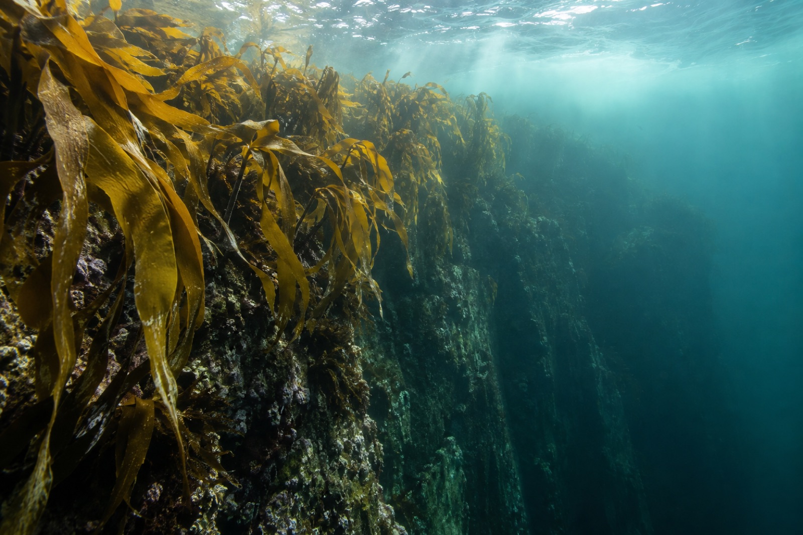
In Glacier Bay's inner reaches the kelp story comes with qualifiers: the water is cold but turbid near glaciers, so the forest band shifts seaward with the retreat, following the light. In the mid and outer bay — clearer water, older rock, established beds — the kelp communities resemble the mature forests of the southern mainland: dense canopy, thick understory, and the full crowd of fish and invertebrates that kelp architecture hosts. That this green wealth stands within sight of bare, retreating ice faces is the bay's whole drama in one view: loss and gain on the same tide.
A new forest is only scaffolding until tenants arrive, and Glacier Bay's tenant list has filled in fast:
Watchers along the shore can read the stages: near the ice, grey water, seals on bergs, pioneer rock; mid-bay, clear kelp beds with sea lions and bird rafts; a system still writing its own ledger, line by line.
Glacier Bay is not ordinary marine water. Every summer it receives enormous volumes of cold freshwater from melting ice and snowfields, which rides over the denser salt water as a brackish lid and drives an estuarine circulation: surface water flowing seaward, deep water creeping in. The physics of that layering — and why it decides who can eat what, where — is explored in our piece on ocean stratification.
For kelp, the stratification cuts two ways. The buoyant surface layer caps mixing, which can starve the sunlit zone of deep nutrients — one reason summer growth here leans on spring runoff and tidal stirring at sills. And the silt itself shades the shallows closest to the faces, pushing productive kelp habitat into a moving band part-way down each fjord. The bay is, in short, an estuary wearing a fjord's shape, and its kelp grows where the two moods compromise.
Glacier Bay is a park best seen from the water:
For the wider sub-Arctic kelp landscape that Glacier Bay belongs to, our guides to Prince William Sound and Sitka Sound make natural companions — three ways of reading the same young, ice-wrung coast.
In general, yes — studies along sub-Arctic and Arctic coasts have documented kelp establishing on newly deglaciated shorelines as ice pulls back and light reaches new rock. It's habitat gained even as ice is lost, which is one of the more quietly counterintuitive findings of the warming era, though it never outweighs the broader changes a warming ocean forces.
Relieved of ice weight, the crust around Glacier Bay rebounds at among the fastest rates measured on Earth — centimetres per year, noticeable within a human lifetime. Dock pilings, shorelines and charts all chase the change; old-timers' depths are not today's depths.
This is glacially fed, near-freezing water — swimming is a cold-shock hazard, not a recreation. Experienced divers do work here, but the turbidity near ice, cold and remoteness put it firmly in expedition-grade territory. Most visitors experience the underwater bay through its kelp-edged shorelines and wildlife instead.
Within decades of the big retreat. Naturalists were plotting the bay's plant colonisation by the late nineteenth and early twentieth centuries, and Glacier Bay became one of the founding sites of succession science; marine studies built up over the twentieth century as the fjords kept opening. It's among the longest-watched examples we have of an ecosystem assembling from scratch.
Near ice faces, only as fast as retreat and silt allow. In the clearer mid and outer bay, the forests are established and thickening with the otter-driven cascade. Longer term, the bay will keep trading ice for habitat along the gradient, and the kelp frontier will keep marching up the fjords with it.
Fjords are drowned glacial valleys with a rock sill at the door. How that sill shapes circulation, deep-water renewal, anoxia risk — and why fjords shelter rich kelp.
Dr. Mara Ellison ·
Glacial fjords, returning sea otters and slow kelp regrowth after oil and ice loss — a field guide to Prince William Sound, Alaska's living laboratory.
Tom Okafor ·
Herring spawn on kelp, whales hunt the shoals, and Tlingit stewardship runs millennia deep — a guide to the kelp ecosystems of Sitka Sound, Alaska.
Tom Okafor ·