Atlas11 min read
Kamchatka: Kelp Forests on the Pacific's Wild Far Shore
A coastal atlas guide to Kamchatka's kelp forests: volcanic coasts, otter-held reefs, salmon-fed waters, and one of the least-disturbed kelp ecosystems on Earth.
Tom Okafor ·
Volcanoes, fog and the cold Oyashio — a guide to the kelp forests of the Kuril Islands, among the least-disturbed seaweed coasts left on Earth.
There is an arc of fifty-six volcanic islands stepping 1,300 kilometres from Kamchatka to Hokkaido that few travellers will ever see and that kelp scientists speak of with something close to longing. The Kuril Islands divide the Sea of Okhotsk from the open Pacific along a chain of smoking cones and fogbound straits, and their nearshore reefs carry what is plausibly the largest continuous tract of intact kelp forest left in the northwestern Pacific — dense, ancient in structure, commercially harvested in places but never industrialised, and almost entirely unstudied by Western science for most of a century. This guide surveys the arc: its oceanography, its kelp communities, its wildlife and its contested, sparsely peopled human geography.
The Kurils are the visible crest of one of the Pacific's most violent tectonic seams. Beneath the islands' Pacific flank, the Pacific Plate dives beneath the arc into the Kuril–Kamchatka Trench, more than 10,000 metres deep at its floor; above it, roughly forty active volcanoes smoke and occasionally erupt — Alaid on Atlasov Island, the arc's northernmost cone, is among the most photogenic volcanoes in the world. The islands are geologically young, steep, fog-prone and earthquake-shaken; in 1952 a tsunami generated offshore destroyed Severo-Kurilsk, the main northern town, killing more than two thousand people.
Oceanographically, the arc is a gate between two seas. The cold, nutrient-laden Oyashio current sweeps down the Pacific side, while the Sea of Okhotsk side is colder still in winter — the northern Kurils sit at the world's southern limit of consistent seasonal sea ice. Deep passes between the islands, the Bussol Strait chief among them, let Okhotsk and Pacific water exchange on powerful tides; the mixing drives exceptional productivity. Every strait is effectively an estuary at scale, churned cold and dark and rich.
The Kurils are, simply, kelp country, and have been recognised as such since the first botanical expeditions of the nineteenth century. The kelp communities here are built from a cast related to but distinct from both the American and Japanese coasts:
The Kuril forests' density is recorded anecdotally in Russian fisheries literature and visible from any deck: boulder slopes draped in kelp to the limit of light, with the oldest kelp beds off islands like Urup — uninhabited for much of the modern era — never systematically surveyed. This is, in other words, one of Earth's great un-knowledged forests.
If the kelp is the structure, the resident animals are the argument for its importance. The arc concentrates:
The Kurils are inhabited, barely. Total population across the chain is around twenty thousand, mostly in Kurilsk on Iturup and Severo-Kurilsk on Paramushir; whole central islands — Urup notable among them — have no permanent residents at all. The arc's human story is a compressed history of the North Pacific: Ainu settlement through the eighteenth century, then alternating Russian and Japanese colonial presence, and Soviet annexation in 1945 at the close of the Pacific war. The four southern islands — Iturup, Kunashir, Shikotan and the Habomai group — remain claimed by Japan as its Northern Territories, a dispute unresolved for eighty years and the chief obstacle to a formal peace treaty between the two countries; the status of surrounding waters and even of joint fisheries is negotiated multi-laterally year by year.
Modern Kuril industry is fish: salmon canneries, crab, and the harvest of kelp and other seaweeds for food and colloid uses, continuing a tradition — on the Ainu and Japanese side as well as the Russian — that predates refrigeration. The Kurilsky Reserve on Kunashir, one of Russia's strict zapovedniks, protects a substantial southern sector, and the low human density everywhere else functions, in practice, as another reserve. The dangers on this coast are currently more economic than ecological — illegal salmon fishing, the uncertain future of a warming Okhotsk — rather than the industrial damage done elsewhere. For now. Kamchatka's coast, next stop north, is its close ecological cousin.
Honest answer: this is among the hardest coasts on Earth to reach. There is no cruise circuit. Access is by expedition vessel — a handful of Western and Russian expedition-ship itineraries include Kuril landings each summer, typically tied to Kamchatka or Hokkaido departures — or by Russian domestic ferry from Sakhalin to Kurilsk. Permits, border-zone administration and the territorial dispute complicate any independent plan, and helicopter charters on the bigger islands are the internal transport. The season that reliably allows landings is June to September; the islands are, however you approach them, a destination of serious planning and serious reward. The arc's nearest visitor-ready neighbour — and, for most of us, the attainable version of Kuril kelp country — is Hokkaido's kombu coast.
Kelp is distributed along the entire arc — from the northern ice-scoured islands to the southern rock coasts off Kunashir — with the densest, least-disturbed beds generally reported from the central islands like Urup, Simushir and the Ketoy–Ushishir group. The southern islands carry the same communities in milder conditions and are where most of the arc's small human population lives.
Administered by Russia since 1945; the four southern islands are claimed by Japan as the Northern Territories, a dispute unresolved since the Pacific war and still central to Russo-Japanese diplomacy. For practical purposes — travel, science, kelp access — the arc today operates under Russian administration, with the jurisdictional status of southern waters periodically renegotiated.
Population and access. Twenty thousand people across the whole arc, no industry beyond fishing and kelp harvest, no roads beyond the towns, and a border-zone regime that has historically kept visitors rare. The kelp here is the baseline other Pacific coasts are compared to, precisely because it has never been reorganised around people.
On the northern islands, yes — seasonal pack ice scours the shallow kelp zones, and the forests there exist on a shorter annual cycle of regrowth. On the Pacific flank the Oyashio keeps the water ice-free, and the kelp there lives under one of the longest continuous canopies in the whole arc.
Only for the committed and well-supported. There is no dive industry to speak of; visiting is by expedition ship or Russian charter, and any diving is self-sufficient drysuit work in remote, cold, current-swept water. The science and the wildlife, rather than the recreational diving, are what the Kurils offer the world today.
A coastal atlas guide to Kamchatka's kelp forests: volcanic coasts, otter-held reefs, salmon-fed waters, and one of the least-disturbed kelp ecosystems on Earth.
Tom Okafor ·
A Coastal Atlas guide to Hokkaido: Rishiri, Rausu and Hidaka kombu beds, the beach-drying harvest culture, and the kelp road that fed Kyoto for centuries.
Dr. Theo Nakamura ·
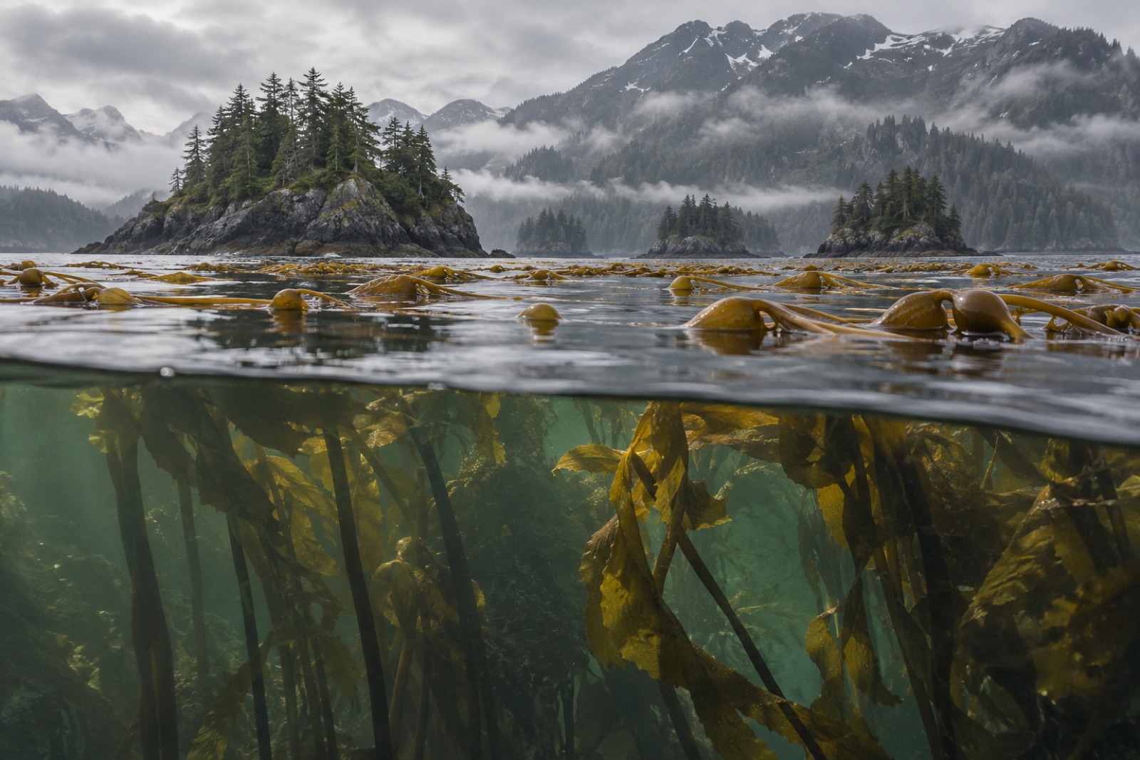
Brown bears above, sea otters in the kelp below — a guide to the reefs, salmon rivers and cold-water richness of Alaska's Kodiak Archipelago.
Tom Okafor ·