Field Notes8 min read
Field Notes: When Drifter 7 Came Home
After 90 days alone on the Great Southern Reef, autonomous vessel Drifter 7 returned with 4.2 million images and one bent propeller. This is its story.
Jack Callum ·
A routine survey sweep off Tasmania's northeast turned into the discovery of the season: wild giant kelp recruiting on a reef the charts had written off.
Tidewright is a fictional company created as a design and content demonstration. These field notes are works of fiction written in the voice of our field operations team, and every figure in them is illustrative.
The instruction for the mission could not have been more routine: run the gap. Our survey charts for Tasmania's east coast have a bare patch between the Lumeriah program's northern boundary and the better-mapped reefs around Binalong Bay — sixty kilometres of coastline that existing datasets covered at resolutions too coarse for restoration planning. Drifter 12, the newest hull in the fleet, drew the job. What it found in that gap has reshuffled the seeding schedule for two programs and given the science team a new favourite reef. This is the log.
Bare patches on our charts are rarely empty in fact. They are empty of data — coastlines full of reefs that appear in fishing folklore and elder divers' memories but not in any dataset a restoration planner can use. The stretch northeast of St Helens is exactly that: granite reef platforms in five to twenty metres of water, historically logged as kelp-bearing in the old charts, assumed by the recent coarse satellite products to be mostly urchin barren, and surveyed by nobody at anything like modern resolution in decades.
For restoration planning, assumption is not good enough. Before we seed, we need a bathymetric relief model, an urchin density map, wave-exposure scoring and an honest census of any remnant kelp — because remnant kelp changes everything. A reef with living adults is a reef with local genetics on site, and the golden rule of our work, stated in the holdfast biology explainer, is that local stock knows local water. Hence Drifter 12 steaming north from the Lumeriah Coast program in the last week of winter to mow the lawn at walking pace.
Worth a paragraph on the vessel, because it carries the fleet's whole biography in its hull. Drifter 12 is five metres of solar-electric catamaran with a multibeam sonar under one hull, four cameras, an eDNA sampler, and every scar our older vessels earned welded back out of the design — the shrouded propellers and raised camera pods that came directly off Drifter 7's collision with ghost gear, plus a redesigned debris net and a sonar suite that resolves boulders down to half a metre. Full specifications, for the curious, are on the Platform page. It runs its transects autonomously at three knots, phones home by satellite twice a day, and otherwise minds its own business in the manner of a very patient surveyor.
The survey plan was fourteen days, twenty-two transect lines, and an expectation — honestly, a hope — of finding fresh barren substrate worth seeding. Freshly grazed rock is clean rock, and clean rock takes a Holdfast line beautifully. We were looking for pink crustose algae and grazable ledges. That is not what Drifter 12 found first.
On the fourth evening the daily data summary carried a flag I have only seen a handful of times: anomalous macroalgal density, transect 9, confidence high. The camera log resolved it into frames that made the whole operations room go quiet — long, coffee-brown fronds, thick-stiped, unmistakable even at machine-vision quality.
Giant kelp. Not a remnant stand of a few survivors hanging on at the deep edge — a dense young canopy covering, by the mosaic count, nearly four hectares of reef flat, in water the regional record insists has been barren for thirty years. Every adult we aged from the imagery was young — second-year, third-year plants. Old enough to have seeded themselves. The reef has been quietly reforesting while nobody was looking.
A day later, the eDNA results from the water sampler added the detail that makes the discovery twice as interesting: the site's genetic signature matches remnant populations forty kilometres to the south, strong on exactly the warm-tolerant markers our hatchery has been selecting for. In plain terms, this little forest appears to be the self-sown offspring of parents that survived the warming — a natural experiment in climate resilience, run by the ocean at no charge.
I want to be careful here, because Tidewright is a restoration company and it would serve my interests to tell you restoration is always the answer. It isn't. A reef that restores itself is worth more than a reef we restore — ecologically, because natural recruitment assembles genetic diversity no hatchery matches, and practically, because it frees our hulls for the reefs that truly can't come back alone.
So Drifter 12's reef — codenamed Shelter Rock after the granite bommie that breaks the swell over it — will not be seeded. Instead it becomes three things.
First, a donor site. With permits and the traditional owners' sign-off, hatchery staff will collect small fertile-sorus samples from tagged adults, and the resulting seedstock — genuinely local, naturally warm-selected — becomes the genetic backbone for seeding the genuinely barren reefs around it. The kelp genetics explainer covers why provenance at this grain size matters.
Second, a control reef. Every restoration program needs a wild comparison site to answer the hardest question in the field — how good is good? Shelter Rock now anchors the regional monitoring design. If our planted forests are trending toward what Shelter Rock already is, we are winning; if it outpaces us, it has something to teach us, and we will listen.
Third, a cool-water refuge study. The site's depth profile and local current pattern put it exactly in the class our climate science team calls thermal refugia — pockets of cool water that lag the regional warming. If that classification holds up under a year of temperature logging, Shelter Rock becomes one of the anchor sites in the refugia network the east-coast programs are being planned around.
The survey finished on day twelve, two days early, because the answer had changed. Sixty kilometres of gap became: four hectares of thriving wild forest, eleven hectares of prime fresh barren that will take lines this season, and a long tail of patchy reef queued for next year. Seeding for the northeast block moves up a full season, using Shelter Rock genetics, subject to the autumn temperature-log review.
Drifter 12 is still out there tonight, parked in the lee of the granite, keeping station over the reef it found. There's no operational reason for that — the survey is done, and home is south. I decided the newest hull in the fleet could keep watch over the newest forest on the map for one more night. Some discoveries deserve a sentry.
Easily, on this coast. Nominal satellite canopy products are tuned for bright, shallow, continuous canopy; a young forest in fifteen metres of water, on a coast with chronic cloud, sits under the detection floor. Nobody dives there because nobody thinks there's anything to dive for. Data gaps and ecological reality are different things, and autonomous survey is how the gap closes.
Because intervention carries risk as well as cost. Introducing hatchery lines into a self-recovering forest could dilute the very genetic diversity that makes the site valuable, and anchor work in a dense young canopy can damage the plants you're trying to help. The strongest restoration decision is sometimes to stand off, protect, and learn.
The site's future is being worked through with the Tasmanian marine authorities and the sea-country rangers with responsibility for that coastline; nothing happens at Shelter Rock — no sampling, no tagging — without their process. Any visitor activity near the site follows their guidance, and the exact location stays off our public maps.
It changes the plan, not the crisis. The east coast has still lost the great majority of its historic giant kelp, and four hectares does not redraw that ledger. What Shelter Rock proves is that the capacity for recovery survives in pockets — and that the job is to find the pockets, protect them, and seed outward from them.
Yes — the gap-survey program continues south through spring. If the next hull finds nothing but clean barren, that's a good outcome too: clean barren is next season's forest, waiting for lines.
After 90 days alone on the Great Southern Reef, autonomous vessel Drifter 7 returned with 4.2 million images and one bent propeller. This is its story.
Jack Callum ·
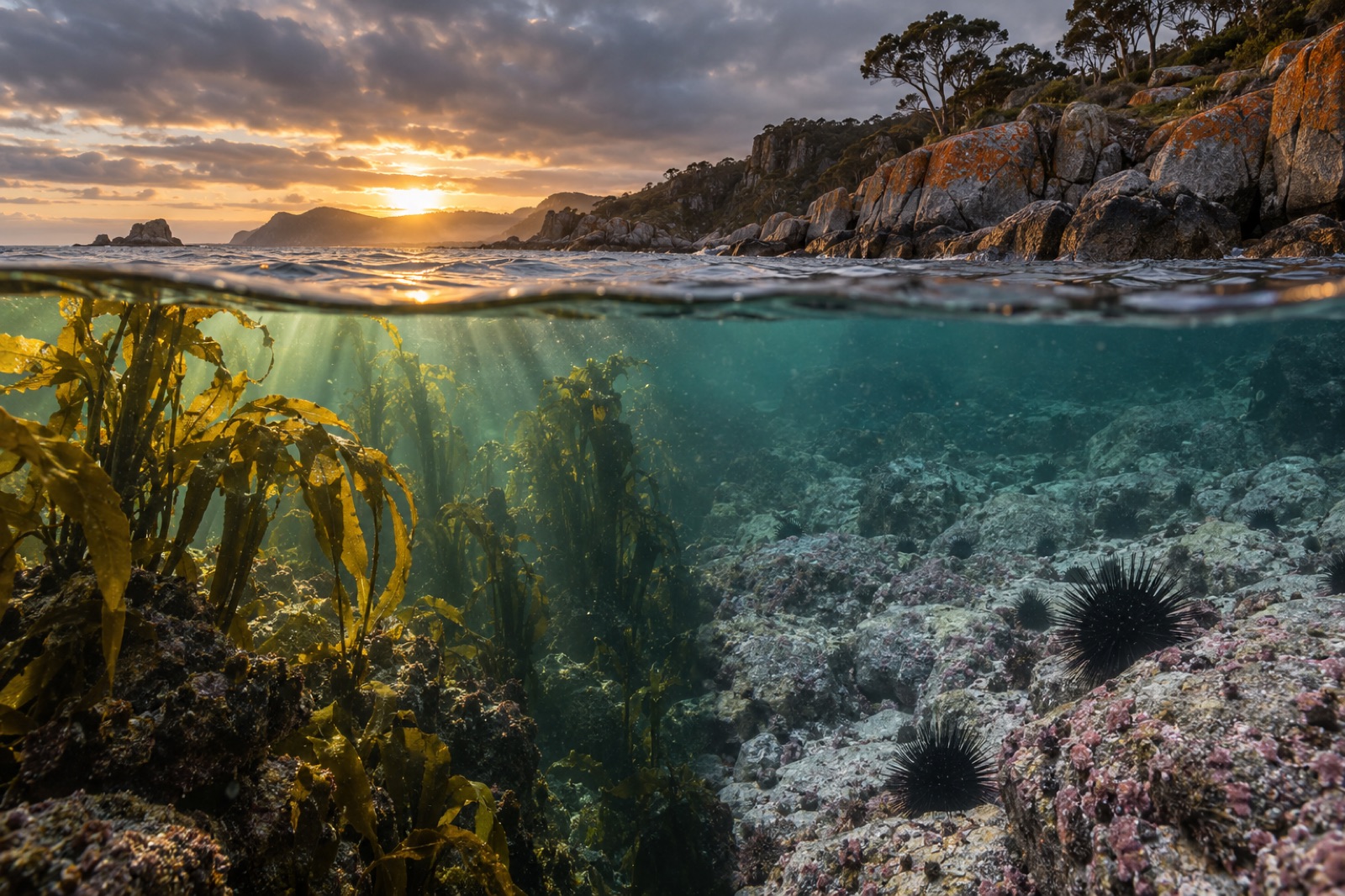
Tasmania's east coast has lost the vast majority of its giant kelp forests to warming seas and urchins. Explore what happened here, and what's coming back.
Dr. Lena Fischer ·
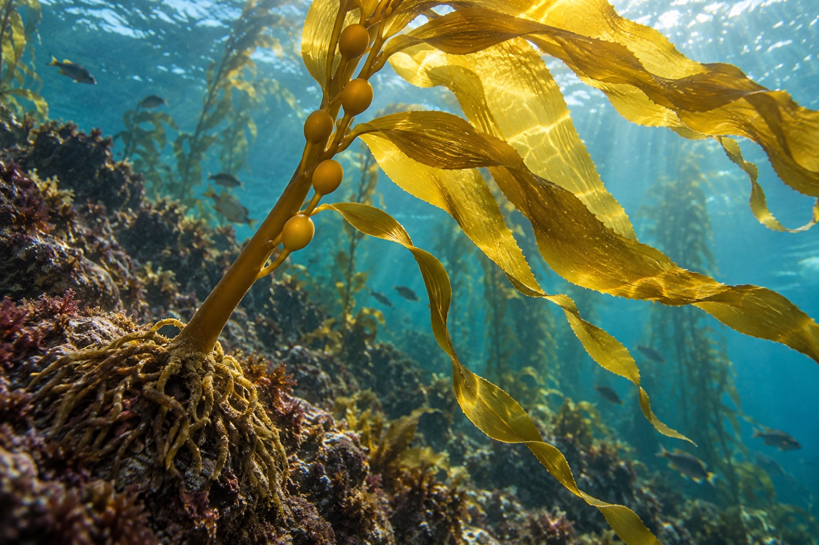
Giant kelp is the fastest-growing organism on Earth and the architect of undersea forests. Learn its biology, life cycle, range and why it matters.
Dr. Theo Nakamura ·