Follow New Zealand's North Island northeast for a thousand kilometres — past the Bay of Islands, past the Poor Knights, past anything you could reach in a day boat — and the open Pacific begins to hiccup volcanoes. A chain of small, steep islands breaks the surface along the Kermadec Ridge: Raoul, Macauley, Curtis, Cheeseman, L'Esperance Rock. These are the Kermadec Islands, New Zealand's remote northern outlier, and they are one of the strangest places on Earth to think about kelp — because here, at the edge of the tropics, the southern kelp forest runs out.
The Kermadecs matter to a coastal atlas not because they hold vast kelp forests (they don't), but because they mark a boundary. They are the place where golden kelp (Ecklonia radiata) — the forest-former of mainland New Zealand — meets the warm water coming down from the equator and either holds on or gives way. Boundaries are where ecology is easiest to see, and this is one of the sharpest the Pacific offers.
Where on Earth
The Kermadec Islands sit between roughly 29°S and 31.5°S, strung along an active volcanic arc where the Pacific Plate dives beneath the Australian Plate. The same collision that built the islands also dug the Kermadec Trench just to the east — more than 10 kilometres deep, among the deepest places in the ocean. Within a few nautical miles you can travel, vertically, from a rainforest-clad crater rim to hadal water no sunlight has ever touched.
Raoul Island, the largest of the group at about 29 square kilometres, is the only one with permanent staff: a small team of conservation rangers who manage a pest-free island (rats and cats were removed decades ago) and its recovering forests. The climate is subtropical — humid, warm, occasionally brushed by cyclones — and the surrounding sea runs from about 18°C in late winter to 24°C or more in late summer. For a kelp coast, that summer number is the whole story.
Two faunas, one shoreline
Biogeographically, the Kermadecs are a mixing bowl. The East Auckland Current carries warm subtropical water south past the islands, and the reefs collect species from both directions: cool-temperate New Zealand endemics reaching their northern limit, and tropical species from the Coral Sea and wider Pacific riding currents down to visit or settle.
The result is a fish community unlike anything on the mainland. Tropical wrasses, butterflyfishes and occasional wandering big animals — turtles, seasonally, and the Galápagos sharks the Kermadecs are famous for — share the reef with species a Wellington diver would recognise. During warm years and warm months, the tropical share of the community swells; in cooler, mixed years the temperate species press back. Ecologists prize places like this because they behave like a live preview of range shifts under a warming ocean: you can watch the two faunas negotiate on a single headland.
Kelp at the warm edge
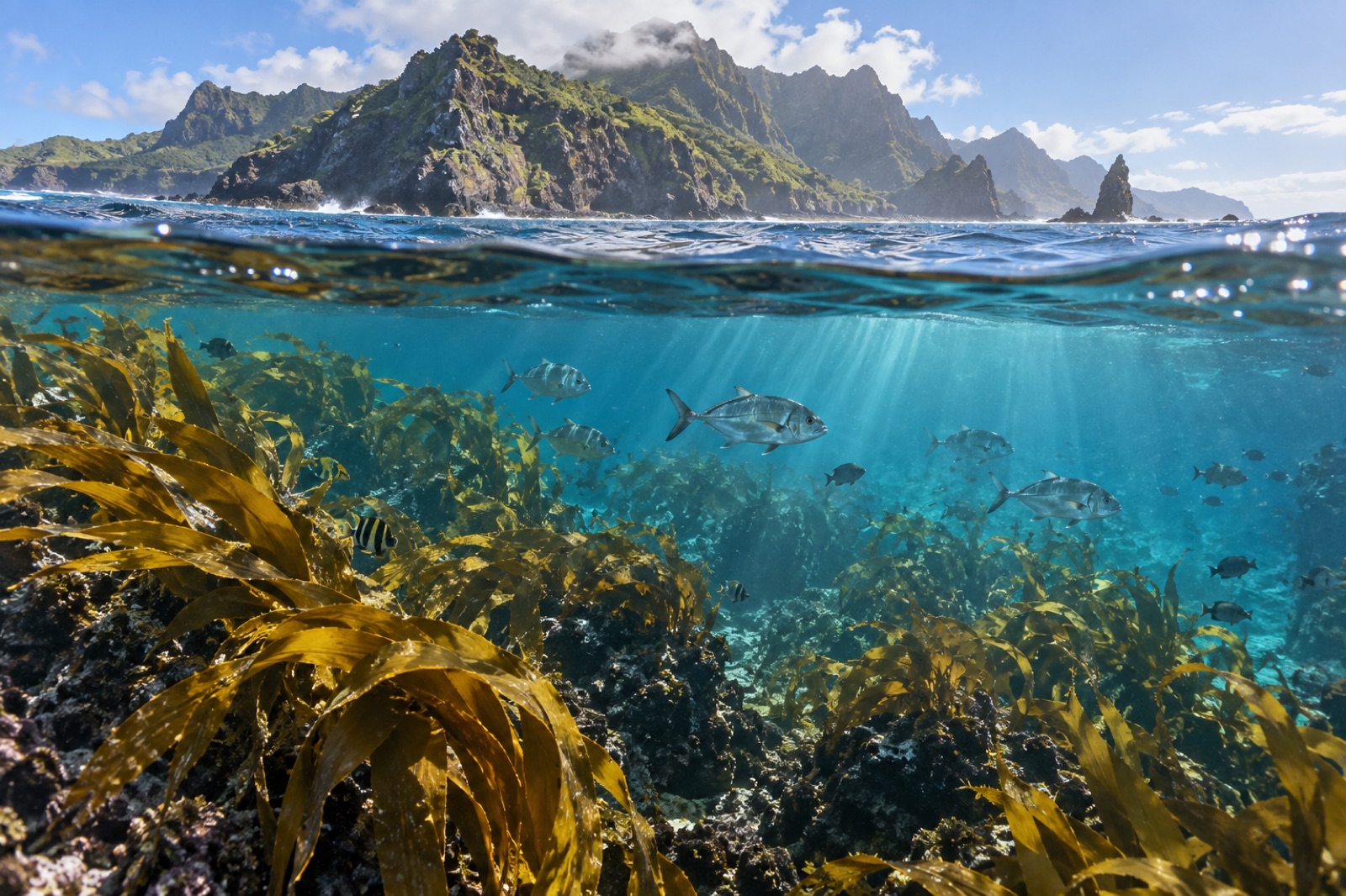
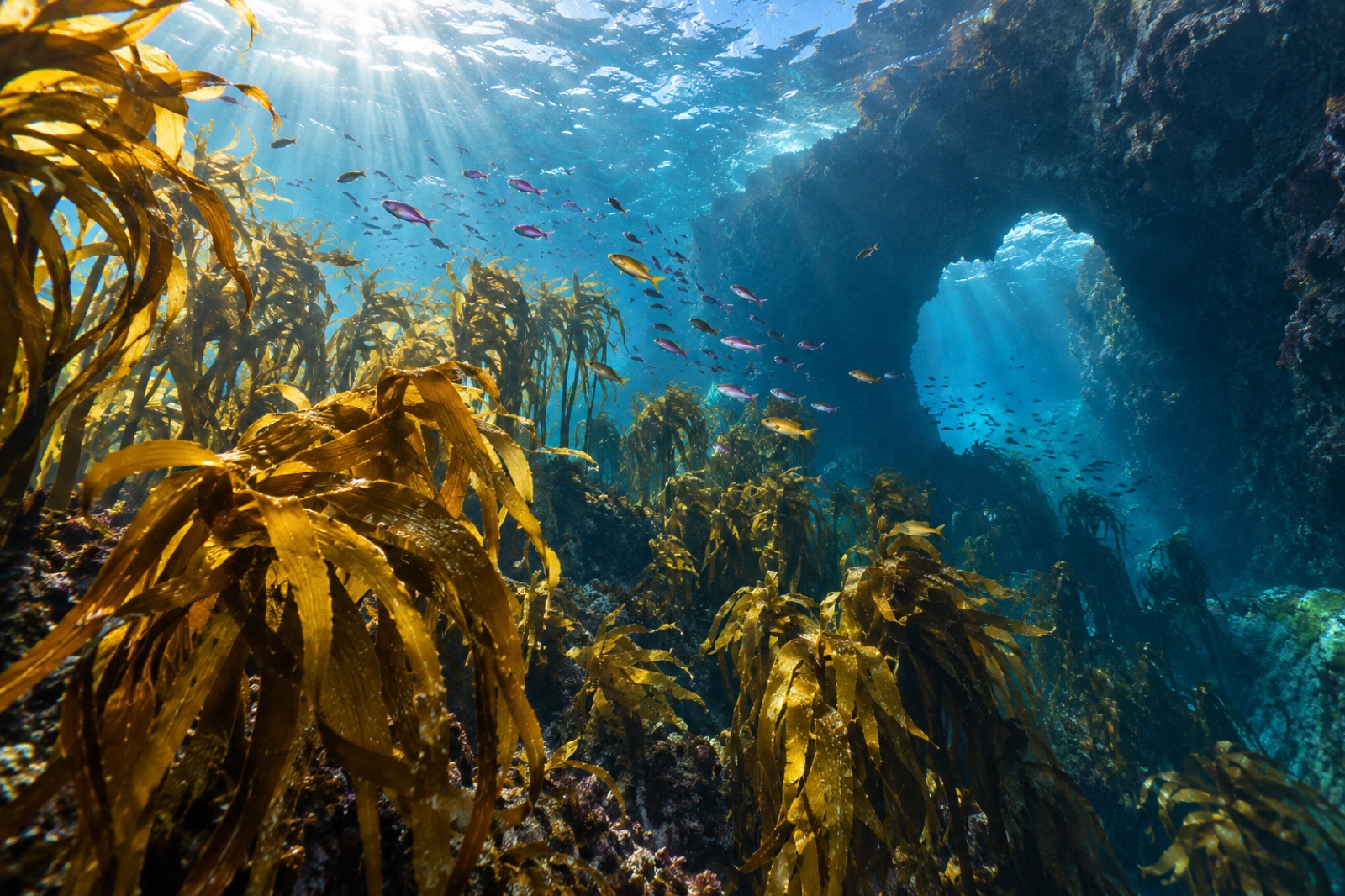
So where is the kelp? Ecklonia radiata — the species that builds the golden canopy across northern New Zealand — has been recorded in the Kermadec group, hanging on in its coolest available real estate: deeper reef, current-swept shoulders of pinnacles, and south-facing slopes where summer sun hits the water at a slant. It is sparse and patchy compared to the mainland forests, and it shares the reef with a subtropical algal flora — turfs, fucoids and filamentous browns — that wins more ground every degree the water warms.
This is kelp's warm edge, and it illustrates the physics that decides where kelp can grow anywhere in the world:
- Temperature. Golden kelp photosynthesises and reproduces best in cool water; sustained temperatures above the low 20s stress the sporophyte and can stop the microscopic gametophyte generation from completing the life cycle at all.
- Nutrients. Warm subtropical surface water is typically stratified and nutrient-poor — beautiful gin-clear diving, poor kelp farming. Kelp wants the nitrate that comes with colder, mixed water (see upwelling explained).
- Competition and herbivory. Warm water brings tropical grazers and fast-growing turf algae that occupy space kelp spores would otherwise claim.
Stand on the Kermadecs and the pattern inverts: kelp is the immigrant at the edge of its world, not the landlord. That perspective makes the mainland forests look less inevitable — and their dependence on cool water more obvious.
A volcanic arc still under construction
The Kermadec Ridge is one of the most volcanically active stretches of seafloor yet mapped. Dozens of submarine volcanoes line the arc between New Zealand and Tonga, many of them hydrothermally venting — black-smoker-style chemistry sheltering communities of mussels, shrimp and microbes that run on sulphur instead of sunlight. In 2012, the submarine volcano Havre erupted so violently it produced one of the largest deep-ocean eruptions ever instrumented, rafting pumice across thousands of square kilometres of ocean and resetting a patch of seafloor to bare rock.
For marine ecologists, that makes the arc a natural laboratory on two ends of the temperature problem: vents for studying how life handles chemical stress at depth, and the shallow islands for studying how life handles heat at the surface. It also gives the reefs their architecture — young basalt, lava flows, arches and rubble fields, similar in spirit (if not climate) to the volcanic substrates of Macaronesia. Fresh volcanic rock is a clean page; whoever settles first writes the first draft of the reef.
The marine reserve, and the bigger proposal
Since 1990 the sea within 12 nautical miles of the islands has been the Kermadec Islands Marine Reserve — at roughly 7,450 square kilometres, long New Zealand's largest no-take area, protecting everything from the intertidal to the deep slope. That protection has kept the Kermadecs in near-pristine condition: big fish are abundant, sharks behave like sharks in places that have never been scared of boats, and the reef functions as a reference site — a benchmark for what an unfished subtropical Pacific reef looks like.
A far larger proposal, the Kermadec Ocean Sanctuary, would protect more than 600,000 square kilometres of the surrounding exclusive economic zone, including trenches, vents and seamounts. Announced in 2015, it has been debated ever since, entangled with Māori fishing rights and questions about who decides what happens in the ocean. Whatever its eventual shape, the conversation matters beyond New Zealand, because networks of protected water work best when they connect reefs across the currents that larvae actually ride — the principle explored in our explainer on marine connectivity.
For the Kermadecs specifically, the reserve and the ridge together protect something rare: a complete cross-section of Pacific life, from kelp fringe to hadal trench, on one piece of submerged country.
Visiting (or rather, not)
This atlas guide is unusual because you almost certainly cannot go. The Kermadecs have no visitor infrastructure, no scheduled transport, and the islands are a strict nature reserve with biosecurity controls; landing requires permits that are rarely granted outside conservation and science work. Even anchoring is constrained by exposure and swell.
The honest way to experience the Kermadecs is remotely: expedition reports and published surveys, the tracking work that follows their seabirds and sharks, and the growing archives of reef imagery that marine reserves share with the public. The Kermadecs are a place for the imagination and the dataset more than the itinerary — and that, in a way, is the point. Some of the ocean's most valuable places are valuable precisely because almost nobody goes.
What the Kermadecs teach
Every atlas benefits from places that are more lesson than destination. The Kermadecs offer three:
- Edges are where change shows first. Kelp contracting to its cool refuges, tropical fish arriving on the current — the Kermadecs display, in miniature, the reshuffling now happening along temperate coasts everywhere.
- Isolation protects, but does not exempt. A thousand kilometres of ocean shields the Kermadecs from fishing pressure and coastal runoff. It does not shield them from a warming atmosphere or a marine heatwave parked overhead.
- Reference reefs are scientific gold. Unfished, unpolluted subtropical reefs are nearly extinct as a category. The Kermadecs let ecologists ask what "healthy" even means — the same role the subantarctic islands play at the cold end of New Zealand.
Key takeaways
- The Kermadec Islands sit about 1,000 km northeast of New Zealand's North Island on an active volcanic arc beside the 10 km-deep Kermadec Trench.
- They are a biogeographic mixing zone: temperate New Zealand species at their northern limit share reefs with tropical visitors from the wider Pacific.
- Golden kelp (Ecklonia radiata) persists here only in the coolest micro-habitats — a live demonstration of the temperature and nutrient limits that define kelp forests globally.
- Massive volcanic activity, from over 30 submarine volcanoes to the giant 2012 Havre eruption, makes the arc a natural experiment in reef colonisation and hydrothermal life.
- The 1990 Kermadec Islands Marine Reserve protects about 7,450 km² as a no-take reference reef; a much larger proposed ocean sanctuary remains under debate.
- You cannot realistically visit — the islands are a permit-only nature reserve — which is part of what keeps them ecologically priceless.
FAQ
Do the Kermadec Islands have kelp forests?
Not dense ones. Golden kelp (Ecklonia radiata) has been recorded in the group but survives only in deeper, cooler, current-swept pockets; the shallow reefs are dominated by subtropical algae. The islands mark the warm-water edge of New Zealand kelp's range.
Can tourists visit the Kermadec Islands?
Effectively no. There is no tourism infrastructure or scheduled access, landing requires a conservation permit with strict biosecurity, and the waters are fully protected. The Kermadecs are experienced through science, imagery and expedition accounts.
Why are the Kermadecs important for ocean science?
They combine a near-pristine, unfished subtropical reef, an active volcanic and hydrothermal arc, and one of the deepest trenches on Earth in a single protected area — a rare natural laboratory for studying warming, colonisation and deep-sea life.
What is the Kermadec Ocean Sanctuary?
A proposal announced in 2015 to protect over 600,000 km² of ocean around the islands, including vents, seamounts and trench habitats. It has been stalled in negotiations over Māori fishing rights and governance, and its final form is undecided.
What is the connection between the Kermadecs and Māori?
The islands — Raoul among them, known as Rangitāhua — lie on ancestral voyaging routes between Aotearoa and Polynesia, and northern iwi hold deep cultural connections to them. Those relationships are central to how the region's future protection is being negotiated.