Tidewright field notes are our crew's own stories from project sites. Everything in them — sites, numbers, people — is fictional, part of the Tidewright demonstration. The oceanography is real.
The camanchaca arrived on the second night of our August fortnight on Chile's Humboldt Coast and stayed for three days — a fog so complete that from the boat console I could read the chartplotter and not see the bow. For a survey program built on cameras and drones, this should have been dead time. It wasn't. By lunchtime on day one we had changed tools, and by the end of day three we had produced one of the most useful datasets of the season. This note is about how to survey a reef you cannot see, and what fog teaches an operation that mostly runs on light.
The site and the shutdown
Our Humboldt pilot site sits in the lee of a low desert headland where the Humboldt Current's upwelling meets warm inland air — a fog machine running since before there were words for it. The August plan was a drone canopy census paired with diver camera transects across nine hectares of Lessonia beds. The drone doesn't leave the case in fog: photogrammetry needs contrast, and wet optics on a half-million-peso aircraft over salt water is how budgets die. The camera transects fared no better — divers reported visibility of "one arm, sometimes two."
What the fog does not touch is sound.
Day one: swap light for acoustics
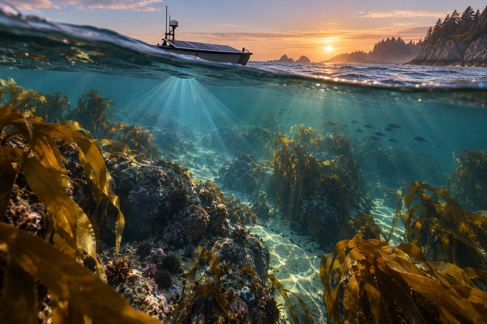
Drifter 11, our survey vessel, carries a pole-mounted multibeam and a sidescan towfish — the full seafloor mapping kit — as standard fit. Fog is frustrating for the skipper and irrelevant to the sonar. So day one became a systematic acoustic resurvey of the whole site: 200-metre lanes, 50% overlap, combing nine hectares at walking speed. We know from sonar survey practice that backscatter hardness separates reef from sand; what we wanted this time was finer — whether the backscatter texture could pick out the kelped parts of the reef from the bare ones.
It half could. Dense Lessonia canopy softens and roughens the return in a way our analyst could pick out against the reference mosaic from May, at perhaps 60–70% agreement with the diver maps. Not audit-grade — but a genuine fog-day product, and a hypothesis to test properly in clear weather.
Day two: instrument transects, not camera transects
With cameras useless, we rebuilt the diver transects around tools that don't care about visibility:
- Quadrat-by-feel: divers have always counted by touch in surgy dark water more than the textbooks admit; in fog-thickened gloom it's the whole job. Stipe counts by hand, substrate by glove, everything called out to a slate that gets read topside.
- Point-intercept with a probe: a metre stick with a blunt tip, dropped-and-called every ten centimetres along the line — kelp, crustose, sand, urchin. Slow, blind-person's botany, and remarkably reproducible between divers.
- Acoustic beacons for navigation: two small transponders on the bottom at the ends of each transect, so divers could swim straight lines they couldn't see. Ten minutes to deploy, and it turned guessy compass swims into survey-grade lines.
By the end of day two we'd completed seven of the nine planned transects — slower than a camera day, but the stipe-count data were as good as any we have.
Day three: the fog as the subject
By Thursday we stopped treating the fog as an obstacle and started treating it as data. The camanchaca isn't just a nuisance — it's the water supply of the coastal desert behind the site, part of why fog defines these coasts ecologically. We repositioned Drifter 11's weather mast and ran a fog-day microclimate profile: sea-skin temperature, air temperature and dew point at two heights, photosynthetically active radiation at the surface and at five metres. The finding worth writing down: at the thickest hour, light at five metres depth had fallen to levels we'd expect at twenty metres on a clear day. Three days of that is nothing to a Lessonia bed; the light budgets of kelp forests run on weeks, not afternoons. But a twenty-day camanchaca event — which old fishermen here describe as happening some winters — is a light stressor nobody currently puts in the site risk model. It goes in this autumn.
What fog week changed permanently
- Every site kit now carries two acoustic beacons. They cost less than the drone case and turn bad visibility from a scrub into a method.
- Backscatter-as-habitat gets a formal trial. The day-one result was promising enough to design a proper clear-water validation — sonar and divers on the same day, like our Tinderbox drone-diver calibration.
- Fog duration joins the site risk register alongside heatwaves and swell — a light stressor with local memory that we've been treating as weather.
The crew joke by Friday was that we should schedule a fog week into every season. It's a joke with a pulse. A survey program that only works in good weather is a fair-weather friend to a forest that lives through everything.
Key takeaways
- Zero visibility grounds cameras, drones and photogrammetry — but not sonar, touch-based transects or instrument profiles.
- Acoustic beacons make blind diver transects navigable and survey-grade; they now ship with every site kit.
- Fog-day backscatter showed promise at separating kelped from bare reef — enough to justify a formal validation.
- Multi-day fog measurably cuts underwater light; long camanchaca events belong in site risk models, not just weather logs.
- A resilient monitoring program treats bad conditions as a workload to re-plan, not a week to write off.
FAQ
Is it safe to dive in fog?
The in-water risk is manageable — divers navigate by line and beacon regardless of surface visibility — but the surface risk is real: a boat that can't see divers and can't be seen. Our rule is beacons plus a strict one-tender-per-two-divers ratio, and no operations at all in shipping lanes during fog.
Can sonar really detect kelp?
Acoustics can detect canopy reliably in some settings — echosounder work on canopy is a mature method — but using hull-mounted backscatter texture to separate kelped from bare reef is site-specific and needs validation per bed. That's next season's job.
How often does fog actually lose you survey days?
On the Humboldt Coast in winter, potentially a third of any fortnight; in Mendocino summers, we've written about long fog before. Any temperate upwelling coast should assume fog weeks exist and carry the kit that makes them productive.
What's the one piece of fog kit you'd never leave behind again?
The acoustic beacons. Everything else on the fog list has a workaround; straight, repeatable transect lines without them do not.