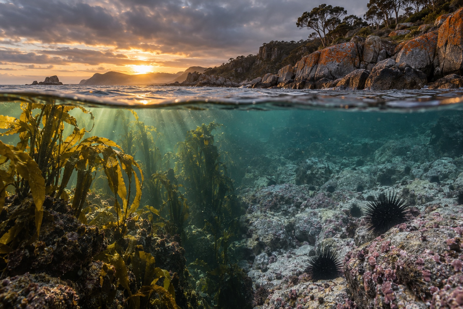
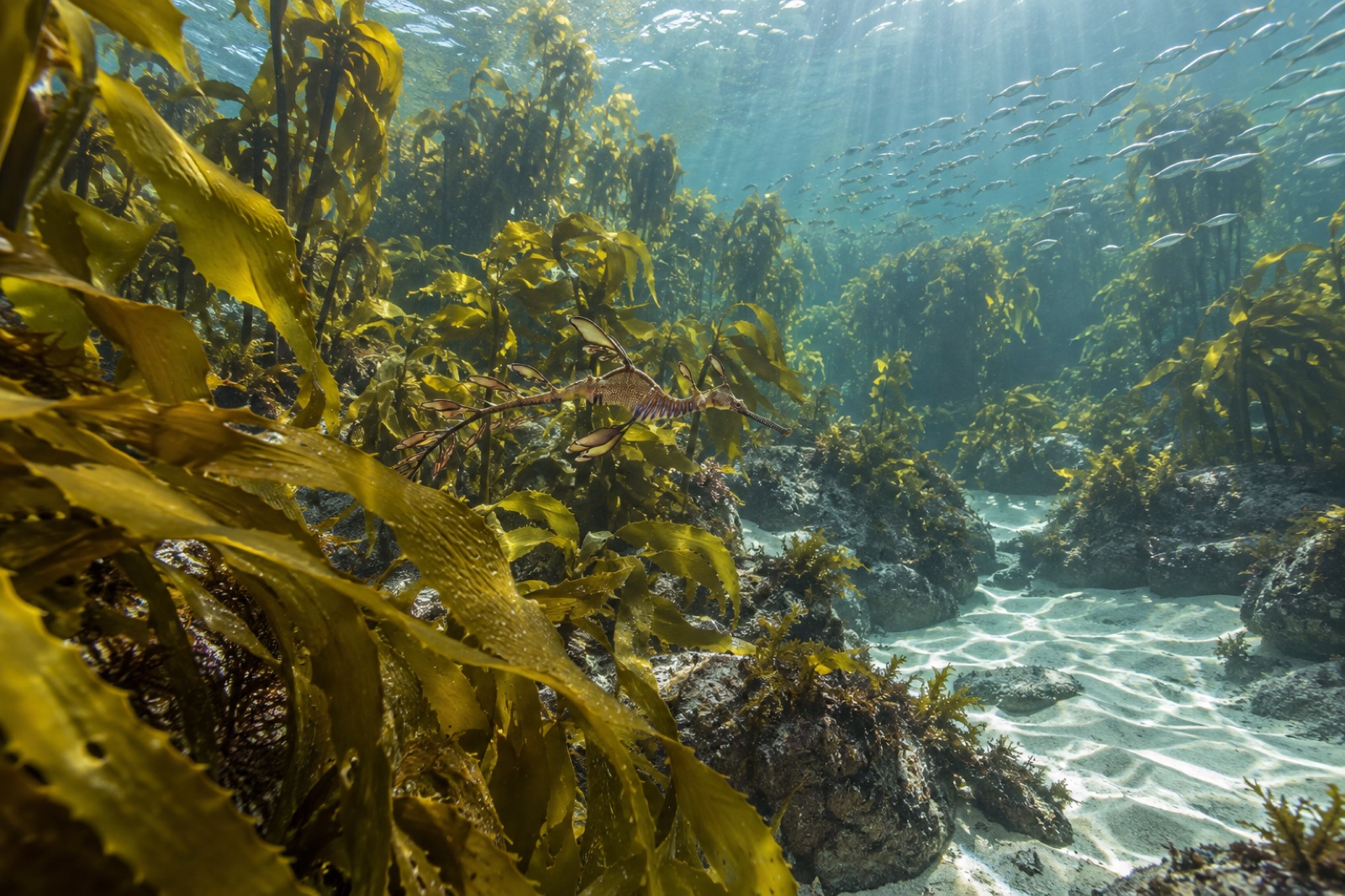
The kettle in the Kudjela Rangers' shed at Triabunna has a sign above it: Talk first, work second. These field notes are from five days in April spent alongside the Kudjela Sea Country Ranger team (a fictional partner nation; Tidewright's Reef Partners program works with several ranger groups, and the Kudjela crew agreed to let me write this one up), monitoring a stretch of Tasmania's east coast where kelp loss has been fastest and where the rangers hold both the oldest knowledge and the newest monitoring kit on the water. What follows is what co-management looks like when it's real — which is to say, slower, better and far more instructive than the version in our project plans.
Day one: talk first
Tidewright's method on a new partner coastline normally starts with sonar. The Kudjela method starts with a table, tea, and the question: what is this place for, and who is it for?
This is not a courtesy hour before the real work. Over that first morning the rangers walked our crew through the seasonal calendar for this stretch of coast — which runs on roughly six seasons, not four — and pointed out where our survey timing collided with things our maps knew nothing about: a muttonbirding season, a period when a particular bay is rested from any harvest at all, and a reef flat where diving is simply not done, not by anyone, because of what the place holds. Every one of those constraints went into the operations plan that afternoon. None of them cost us anything meaningful. All of them would have been violated by our default survey grid.
I wrote in the log: Our baseline starts at 2024. Theirs starts before ours can measure. Plan accordingly.
What "monitoring" means on sea country
Tidewright's monitoring stack is good, and I'll stand by it: sonar habitat mapping from the Drifter vessels, diver transects, canopy indices from satellite and drone, and eDNA sampling to read biodiversity from bottles of seawater. It produces numbers our Canopy Ledger platform can verify and trend.
The rangers monitor too — they have simply been doing it for longer, with different instruments. Over the week, ranger coordinator Miriam (a fictional composite; real ranger names stay with the team) ran both systems side by side and treated them as what they are: two ways of knowing, each with blind spots.
What that looked like in practice:
- Where our eDNA bottles went. Our default sampling grid wanted stations evenly spaced along depth contours. The rangers re-sited four of twelve stations — into a gutter they know holds sweep schools, onto a sponge garden, up-current of a seal haul-out. Every re-sited station returned richer species lists than the grid picks. Local ecological knowledge turned out to be a stratified sampling design built over generations.
- What counts as a signal. Our dashboards trend kelp canopy, urchin density and species richness. The rangers noted, in the same dives, the condition of crayweed holdfasts, the timing of blacklip abalone gut contents, and whether the water tasted right at first light — their phrase, and a legitimate water-quality observation, as one of our science team sheepishly confirmed when the early-morning trips coincided with a plankton bloom our fixed sensors caught two days later.
- Who the data belongs to. The week's clearest rule: data from sea country belongs to the rangers; Tidewright licenses it under terms the partnership sets, and anything published credits the ranger program first. That's not bureaucracy. That's what it looks like when the people with the deepest stake hold the pen.
The work of the week
Once the plan was genuinely shared, the days fell into a rhythm that mixed both crews' crafts:
Morning longline, afternoon lines. The rangers ran their routine — checking shellfish condition at known beds, logging bird and seal activity, collecting water in the old way and the new — while our Drifter ran sonar passes over the restoration blocks. By midweek we'd merged the tracks: the Drifter's survey circuit now starts and ends at the rangers' reference sites, so every machine pass also services the long-term cultural monitoring points.
eDNA training, both directions. Our crew taught the sampling protocol — sterile technique, filter rig, chain of custody. The rangers taught us why they sample where they sample, and how to read a coastline's condition from what moves on it and when. Both halves were training. Only one half was in our manual.
The twenty-year question. Midweek, over lunch on the rocks, a young ranger asked the question our industry usually avoids: what happens to this project in twenty years, when your funding cycles are done? The honest answer — that restoration without long-term local management rots, and that the only durable version of our work is one where ranger programs hold the leases, the data and the equipment long after Tidewright's field teams move on — is now written into that partnership's renewal terms. The best governance question of the week came from the youngest person on the boat.
What the rangers saw that we missed
Two observations from the week are still echoing in our science team's inbox.
First, the rangers flagged dieback on a crayweed bed two kilometres outside our survey area — a bed they'd fished and observed for decades. Our satellite canopy index showed nothing, because crayweed sits low and turbid water confuses the signal at that scale. A diver check confirmed it: the bed was shedding fronds, likely heat-stressed after the late-summer warm pulse our marine heatwave tracking had rated minor offshore. The rangers' observation moved our next assessment window forward by a month.
Second: they predicted, to within a week, when the draughtboard sharks would move onto the shallow flats. They were right, and the reason was written in the seasonal calendar on day one. Our species models knew that the sharks come. The rangers knew when and why, which is the difference between a statistic and a system.
This is the part of the Great Southern Reef story that doesn't fit in a spread of satellite maps: the kelp continent is held, known and named by the First Nations of this coast, and any restoration that treats sea country as empty habitat is working from a broken map.
What co-management actually requires
Five days doesn't make anyone an expert partner, and I'd caution any reader against treating this note as a template. But some requirements generalised, and they're worth stating plainly:
- Time in the shed before time on the water. Every hour of tea-and-table saved a day of rework.
- Budget for the partner's priorities, not just your own. The rangers' monitoring targets — crayweed, abalone condition, bird and seal activity — are now line items, listed before ours.
- Data sovereignty stated early and in writing. It changes the tone of every subsequent meeting, in the right direction.
- Patience with the pace, and honesty about the horizon. Co-management is slower to start, faster to finish, and the only version that outlasts funding cycles.
On the last evening the rangers took us up the hill behind the coast to look at the water — the whole week's work laid out below as one connected system: the ribbons of kelp on the reef edges, the survey blocks, the bays, the birds coming in. Miriam said the thing I'd been circling all week and hadn't found: You're not restoring a forest. You're rejoining one.
Key takeaways
- Genuine sea-country co-management starts with the partner's calendar, constraints and governance — not with the survey grid. Constraints identified early cost almost nothing and protect what matters.
- Local and Indigenous ecological knowledge functioned as a precision instrument: re-sited eDNA stations returned richer data, and ranger observations caught a dieback event our satellites and sensors missed.
- Data sovereignty — partners own their data, projects license it on set terms — is a foundation of honest partnership, not an administrative detail.
- The durable version of restoration is one where ranger programs end up holding the equipment, leases and data after a company's field teams move on.
- Co-management is slower to start and faster to finish; budget for the partner's monitoring priorities alongside your own.
FAQ
Is the Kudjela ranger team a real organisation?
No — as the footer on this site notes, Tidewright is a fictional company, and the Kudjela Sea Country Rangers are a fictional partner created for these field notes. The co-management practices described, though — data sovereignty, seasonal calendars, ranger-led monitoring — reflect real programs run by Indigenous ranger groups around Australia and taught us how to write them respectfully.
What is "sea country"?
Sea country refers to the sea and coastal areas that Indigenous peoples hold traditional rights and responsibilities for. In Australia, many First Nations run formal ranger and sea-country management programs that combine cultural knowledge with contemporary science — among the most effective models of marine stewardship anywhere.
How does Tidewright choose where to sample for eDNA?
On partnered coasts, jointly. Our statistical grid provides coverage; ranger knowledge provides placement into the features that actually concentrate biodiversity. The week in this note produced richer species lists from knowledge-informed stations than from evenly spaced ones — see our explainer on eDNA surveys for the method itself.
What's the single biggest mistake restoration projects make with Indigenous partners?
Arriving with the plan finished. If the first meeting is a presentation of your survey grid rather than a question about their priorities, you've already failed the partnership — and, as our own near-misses this week showed, you'll build a worse project on thinner knowledge.