Atlas7 min read
Hokkaido's Kombu Coast: Where Japan's Kitchen Begins
A Coastal Atlas guide to Hokkaido: Rishiri, Rausu and Hidaka kombu beds, the beach-drying harvest culture, and the kelp road that fed Kyoto for centuries.
Dr. Theo Nakamura ·
Iwate's ria coast grows some of Japan's finest kelp in drowned valleys — and fifteen years on from the 2011 tsunami, its recovery tells a coastal story for our century.
The Sanriku coast, in Iwate Prefecture on Japan's northeast Pacific side, is where mountains walk straight into the sea. Deep, saw-toothed fjord-like valleys — ria — cut the coastline into hundreds of sheltered coves, and in nearly every one of them, people have grown kelp, oysters, and scallops for generations. On 11 March 2011, the same geography that made the coast so fertile channelled the great Tōhoku tsunami into its harbours with catastrophic force. Fifteen years on, Sanriku offers one of the most studied examples on Earth of what coastal recovery actually costs and what it makes possible. For anyone thinking about the future of working coastlines, there is no more instructive shoreline.
A ria coast forms when rising seas drown a mountain landscape's river valleys. The result at Sanriku is a coastline of extraordinary indentation — some surveys count over 4,000 kilometres of actual waterfront along a map distance of a few hundred. Each inlet is a natural laboratory of calm, deep, cold water: the Oyashio ("parent tide") current flows down from the north, carrying cold nutrient-rich water, and meets the warm Kuroshio offshore, creating a mixing zone famous for pelagic fishing.
The same cold water is kelp country. Kombu and wakame both thrive here, and the ria coves provide what kelp cultivation needs most: shelter from offshore swell with perpetual water exchange through narrow mouths. Oysters and scallops hang from longlines above kelp lines in configurations that approach the integrated multi-trophic design described in our IMTA guide, refined by local practice long before the acronym existed.
Sanriku was a cradle of Japanese aquaculture technique — the hanging longline cultivation of wakame was pioneered in these prefectures in the postwar decades — and the coast remains among Japan's largest producers of wakame, scallops, and farmed kombu.
The tsunami that followed the magnitude-9.0 Tōhoku earthquake reached heights above 15 metres — in places far higher — in Sanriku's funnel-shaped bays. The statistics remain difficult to hold: nearly 20,000 dead or missing nationwide, entire town centres erased. On the water, almost the entire working fleet of many ports was destroyed, along with processing plants, cold stores, aquaculture rafts, and the seeded longlines of that season's kelp.
The recovery that followed has been documented with unusual care, and three of its lessons matter beyond Japan:
Fisheries cooperatives replaced boats with speed and cleverness — shared vessels, pooled purchasing, community-financed processing plants. Within a few years, aquaculture production of key species was substantially re-established; it demonstrated that working waterfronts, backed by strong cooperatives, could rebound faster than built infrastructure.
Massive seawall reconstruction — some walls exceeding 12 metres — sparked national argument about cost, effectiveness, and what walls do to communities' relationship with the sea. Several towns deliberately chose to rebuild differently: relocating housing to high ground, leaving the waterfront to industry and park, designing evacuation into daily life. The conversation is studied now by coastal planners worldwide as sea levels rise.
Perhaps most striking: against expectation, a cohort of younger Japanese chose Sanriku after the disaster — starting sake breweries, guesthouses, oyster bars, and marine-tourism ventures. Rikuzentakata and Kesennuma became unexpected hubs of coastal innovation, and wakame and kelp products rebranded for a new market.
The ocean itself recovered on its own terms. Ria coves re-flushed; wild kelp beds re-established on cleared rock — bull kelp lessons from Mendocino echo here: kelp's resilient life cycles exploit cleared substrate fast. Farmed wakame and kombu were back on lines within seasons as seeded rope arrived from the surviving hatcheries. Our seaweed seed stock explainer describes the hatchery pipeline that made that speed possible.
The ocean's threats did not end with recovery, though. Like everywhere, Sanriku's kelp faces warming seas. Japanese scientists have documented iso-yake — the "burnt seashore" kelp decline phenomenon — in warming southern waters, and Sanriku's position at the meeting of cold and warm currents makes its forests sensitive sentinels. Marine Heatwaves 101 explains the physics pressing on coasts like this one.
This coast rewards travellers who want substance alongside scenery.
Travelling Sanriku demands a hire car or patience with coastal trains (the reconstructed Sanriku Railway is itself part of the recovery story — a community line rebuilt and joined into the Rias Line). It is three to four hours from Tokyo by shinkansen to Morioka, then local travel east.
A coastline of drowned river valleys — segments of ridge and inlet repeating into deep, sheltered coves — formed when postglacial sea-level rise flooded a mountainous landscape. Ria coasts worldwide (Galicia, Maine, milford-like coasts) are aquaculture havens.
Yes — the coast has been substantially rebuilt and the visitor infrastructure (markets, museums, hotels, rail) is operating. Communities actively welcome thoughtful visitors as part of their recovery economy. The region is seismically active; stay aware of local hazard guidance.
Primarily cultivated wakame (Undaria pinnatifida — see our wakame profile) and kombu varieties, alongside hanging scallops, oysters, and sea squirt. Wild kelp beds support urchin and abalone fisheries.
Natural recruitment: kelp spores and gametophytes persist in coastal waters, and with cleared substrate and good water exchange, wild beds re-established within seasons. Cultivated lines were reseeded from surviving hatchery stock.
Iso-yake ("burnt shore") is the Japanese term for large-scale kelp and seaweed bed decline, often driven by warming water and urchin grazing — Japan's equivalent of what Californians call urchin barrens, documented in our Mendocino guide.
A Coastal Atlas guide to Hokkaido: Rishiri, Rausu and Hidaka kombu beds, the beach-drying harvest culture, and the kelp road that fed Kyoto for centuries.
Dr. Theo Nakamura ·
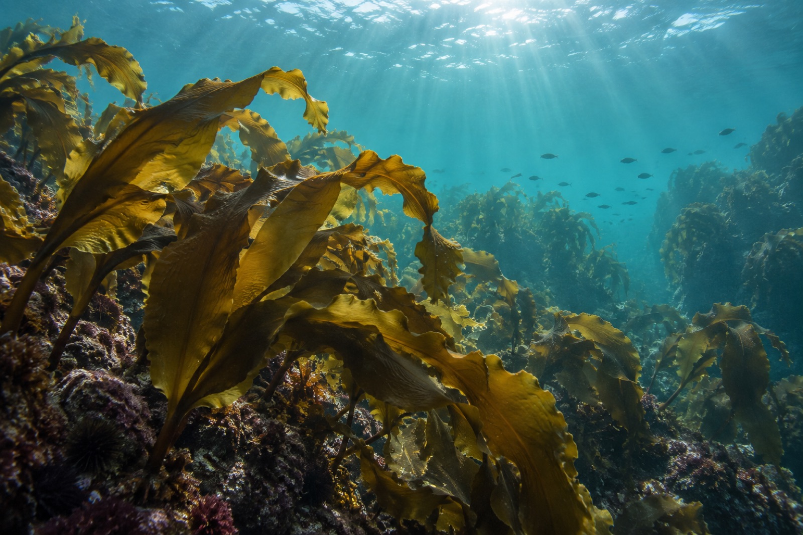
Kombu is the kelp behind dashi and the backbone of the world's seaweed farms. Learn its biology, life cycle, Hokkaido roots and future in a warming sea.
Dr. Theo Nakamura ·
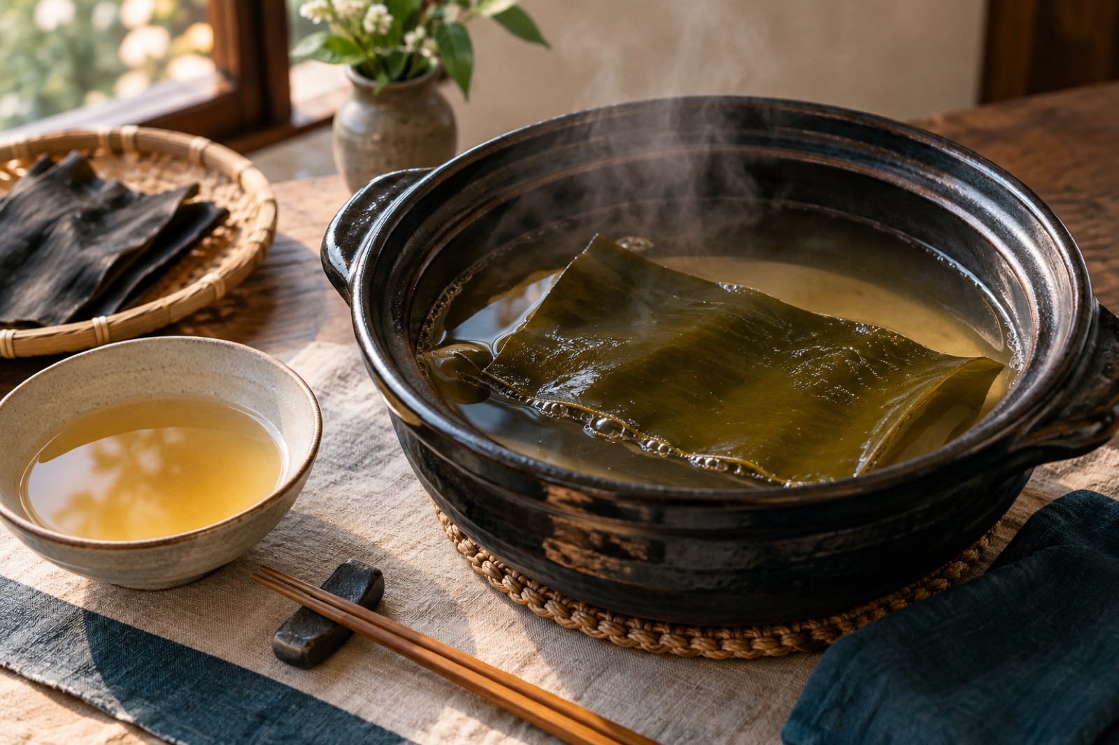
A deep, technique-first guide to kombu dashi: glutamate science, exact temperatures, ichiban and niban infusions, and how to fix every common mistake.
Sofia Andersson ·