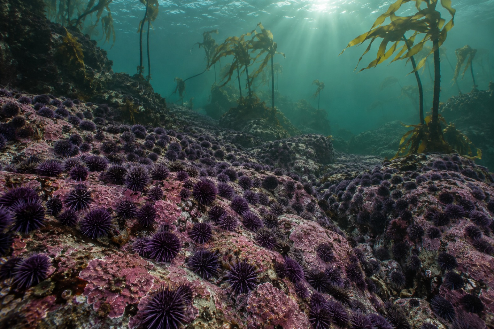
Some coasts are made by rock. Point Reyes was made by wind. Every spring, northwesterlies drive surface water off this triangular cape, and cold, nutrient-loaded water rises from the depths to replace it — feeding one of the most productive marine ecosystems on the West Coast. This guide is about that upwelling engine: how it works, what it feeds, where to stand to see its fingerprints, and why this ragged peninsula, an hour from San Francisco, is among the best classrooms in ocean science.
The cape and its setting
Point Reyes juts roughly 16 kilometres into the Pacific on the San Andreas Fault — the peninsula is literally a different terrane sliding northward, geologically bound for Alaska at a rate of a few centimetres per year. That offshore thrust matters ecologically: the cape deflects California's great southbound current and pokes into mixing zones few other headlands reach.
Around its edges lie distinct waters:
- The exposed west shore — heavy swell, sandy beaches, seabirds, surf-zone kelp.
- Drakes Bay, the broad sheltered bight south of the cape, calmer water and eelgrass beds, with historic kelp fringes along its rocky margins.
- Tomales Bay, the fault-line lagoon running southeast behind the peninsula — shallow, warmish, famous for oysters and for tule elk on the ridges above.
The upwelling engine
The phenomenon this coast is famous for is coastal upwelling — the full physics explained here. In brief: persistent northwesterly winds push surface water along the coast, and Earth's rotation (Ekman transport) turns that flow offshore. Deep, cold, nutrient-rich water wells up to fill the gap, delivering nitrate, phosphate, and silicate to the sunlit surface.
Phytoplankton bloom first. Zooplankton follow. Then anchovies and sardines, then salmon, shearwaters, humpback whales. The entire food chain of visible abundance at Point Reyes — egg-yolk-sized copepods to grey whales — is the upwelling's downstream consequence. Bull kelp benefits too: cold upwelled water, high in nitrate, is precisely what fast-growing kelp craves, which is why June-to-August winds correlate with autumn canopy health along these outer reefs.
A climate note honest readers deserve: warming climates are predicted to alter wind patterns along eastern boundary currents — possibly intensifying upwelling-favourable winds in some models — while simultaneously making the surface ocean warmer and more stratified. The interaction is a live research question, and capes like Point Reyes are where answers will emerge. Compare Marine Heatwaves 101 for what happens when the engine stalls.
The kelp of Point Reyes
Unlike Mendocino's bull kelp coast to the north, Point Reyes sits near the biogeographic transition into giant kelp country — bull kelp beds on exposed rocky points, and in sheltered coves, mixed understory kelps: feather boa kelp in the low intertidal, Laminaria species where current runs hard, bladder-chain kelp in the subcanopy.
Point Reyes fared better through the 2014–2016 heatwave than the counties to its north, likely because its upwelling is locally strong and its cape geometry forces mixing. Nevertheless its canopy fluctuates strongly year to year — an annual bull kelp forest breathing with each spring's wind. The trophic machinery holding it together — sea stars, the returning sea otter question, urchin predators like sheephead further south — is the same story told in our trophic cascades explainer.
Reading the coast from shore
Point Reyes rewards a slow, watching visit. Build a day around the physics:
Morning at the lighthouse
The Point Reyes Lighthouse sits nearly 90 metres above the surf line, down 300-plus stairs. From its platform, in spring, you can sometimes see upwelling: the water offshore turning turquoise-white with plankton blooms, fog banks riding the cold seawater inland. Grey whales pass close during the January-to-April and February-to-May migrations — the lighthouse is among California's premier whale-watching positions without a boat.
Chimney Rock headlands
Elephant seals haul out on the beaches below in winter breeding season and spring moult; northern elephant seals' recovery from near-extinction is one of the great marine-mammal comeback stories. Birders scan for pigeon guillemots and common murres — both fishes-feeding predators that indicate forage-fish runs.
Tomales Bay at slack tide
The lagoon shows the calm side of coast ecology: eelgrass meadows, leopard sharks cruising shallows in summer, great egrets working the channels. The oyster racks lining the bay are a working lesson in aquaculture's interactions with wild systems — the debate over oyster leases in Drakes Estero, resolved in 2014 to restore wilderness, is worth reading about for anyone interested in how societies decide what fits where.
Tidepool etiquette among the terraces
The low sandstone shelves near Sculptured Beach and Duxbury Reef hold ochre sea stars, anemones, chitons, and crabs — walk gently and time your visit for a minus tide. Our citizen-science guide to beach walks has the approach.
The fog
You cannot write about Point Reyes without the fog, which is the upwelling's own byproduct: moisture-laden sea air chilling over cold upwelled water condenses into advection fog that pours over the headlands like slow surf. It closes the lighthouse on many days — check conditions before the 90-minute drive out. And it waters the coastal scrub and Douglas fir of the peninsula itself, meaning even the land flora drinks from the upwelling's cold. Everything here is connected to that one rising column of water.
Practical notes
- Best seasons: Spring (March–May) for upwelling onset, wildflowers, whales; autumn for clear skies and the warmest ocean (still cold: this is 10–14°C water).
- Wind: Point Reyes is among California's windiest headlands in afternoon; mornings are kinder for beach and tidepool visits.
- Getting there: About 90 minutes from San Francisco; the park's shuttle runs to the lighthouse in whale season weekends (verify current details with the National Park Service).
- Safety: The west-shore beaches have dangerous rip currents and sneaker waves; never turn your back. Swimmers belong in Drakes Bay or Tomales Bay, not the outer coast.
Key takeaways
- Point Reyes' abundance is wind-driven: northwesterlies, Ekman transport, and upwelled nutrients power the entire food web.
- The cape sits on the migrating Pacific Plate and juts into mixing zones — geology and ocean physics conspiring to concentrate life.
- Bull kelp here is nourished by upwelling's cold nitrate-rich water, and its annual canopy swings with each spring's winds.
- The same upwelling makes the fog that waters the land; everything on the peninsula traces back to it.
- Visit with patience and a minus-tide chart; the coast rewards those who wait and watch rather than rush.
FAQ
What exactly is upwelling?
It is the rising of cold, nutrient-rich deep water to the surface when winds push surface water offshore. Our detailed upwelling explainer covers the physics, from Ekman transport to nutrient chemistry.
Can you dive or snorkel at Point Reyes?
Drakes Bay offers the calmest water, and snorkelling is possible on still summer days, but this is advanced cold-water coast — consult our cold-water diving guide and check conditions locally. The outer coast is generally not diveable by recreational visitors.
When is whale watching season?
Grey whales migrate past December through May, with peak southbound viewing in January and northbound mothers with calves in March–April. Humpbacks feed offshore from spring through autumn when upwelling runs strong.
Is there kelp restoration happening at Point Reyes?
Monitoring rather than large-scale restoration is current practice here — the cape fared better than Mendocino — but drift algae surveys and eDNA-based reef monitoring of the sort described in our eDNA explainer are exactly the tools used to track these forests.
Why is it so foggy?
Moist marine air is chilled below its dewpoint sea surface temperature by upwelled cold water, condensing into advection fog. Hot inland valleys in summer pull it ashore relentlessly — it is the upwelling made visible.