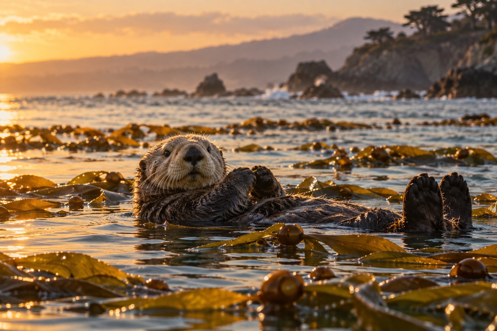
Most of the kelp forest data that changed management decisions in the last two decades did not come from research vessels. It came from people walking beaches with phones, clipboards and quadrats. Citizen science — structured observation by trained volunteers — now feeds species distribution models, tracks the arrival of invasive seaweeds, detects marine heatwave damage months before satellites see it, and documents the wrack that tells ecologists what the underwater forest is doing.
And the beautiful part: you need almost nothing to start. A shoreline, an app, and thirty minutes of paying attention. This guide covers what shore-based citizen science actually measures, the programs worth joining, how to make your observations scientifically useful, and why a low-key walk at minus tide can ripple all the way into restoration planning.
Why shore data matters underwater
It seems counterintuitive — kelp grows submerged, so why would a beach walk tell scientists anything about it? Three reasons:
- Wrack is data. Storm-cast kelp on the sand is a rough census. Which species, how much, what condition (bull kelp and giant kelp stipes tell different stories), presence of urchins gnawed into holdfasts — researchers read beaches monthly to track forest health where divers cannot be everywhere.
- The intertidal is a sentinel. Species appearing or vanishing at the surf edge — invasive Undaria first shows on harbor floats and low-tide rocks — signal change earlier than submerged surveys.
- Scale. A paid science team might survey a dozen sites a month. A volunteer network can cover hundreds of kilometres of coast weekly. Only citizen science reaches the spatial grain that marine heatwave impacts actually hit at.
The programs that matter most for kelp
Programs vary by country, but these four archetypes exist almost everywhere temperate.
Species observation apps (iNaturalist, regional portals)
The lowest-barrier entry: photograph any seaweed or shore animal, upload, and the community plus AI identifies it. Research-grade observations export into global biodiversity databases used in peer-reviewed studies. Observers on the west coast of North America logged sunflower sea star declines years before formal surveys caught up — those app records now anchor recovery planning.
Do it well: photograph underside and whole organism, include something for scale, note habitat ("on float rope," "on granite at mid-tide"), and never move the animal for the shot.
Structured shore surveys
Programs like Reef Check's coastal surveys and various "Adopt-a-Beach" kelp monitoring schemes train volunteers through a workshop, then assign repeatable transects. You count stipes, measure holdfasts (why holdfasts matter), record urchin density — genuinely research-usable numbers, repeated.
Do it well: consistency beats frequency. The same 50 m transect, monthly, in the same way, for a year is worth more than enthusiastic scatter.
Beach-cast and wrack surveys
Several Australian and North American projects ask walkers to record cast kelp volume, species mix and fouling. On the Great Southern Reef and in Tasmania, wrack data feeds kelp-loss models that decide where restoration effort goes.
Water-quality and temperature logger hosting
Some councils and research groups lend temperature loggers or nutrient-test kits to shore volunteers. Cheap, boring, and disproportionately valuable — thermal records from dozens of coastal points map heatwaves at a resolution satellites can't reach (the remote side is covered in our eDNA explainers).
How to be genuinely useful: the accuracy rules
Citizen science lives or dies on data quality. Researchers weight volunteer data by metadata completeness and observer skill, so the difference between "helpful" and "noise" is small, learnable habits.
- Identify to the level you're sure of, no further. "Brown alga, family Laminariaceae" submitted honestly outperforms a wrong species guess every time. Apps nudge you to species — resist when uncertain.
- Capture context. Wide shot, mid shot, close-up. Habitat, substrate, tide height if known. Seaweeds are notoriously shape-shifting — a single frond shot is often unidentifiable.
- Report absences. "No wrack at this GPS point" is a data point. Zero data keeps models honest.
- Don't collect unless asked. Permits govern specimen collection in most places (abalone collection is criminally restricted in parts of California, for instance). Observe, photograph, leave.
- Respect wildlife protocols. If your observation involves sea otters or seals, standard distance rules apply — your survey isn't a reason to approach.
A starter's first month: a realistic plan
Week 1: Pick one app (iNaturalist is the default global platform) and one 200 m beach section near home. Walk it. Photograph everything alive — you'll be surprised how much is there.
Week 2: Learn five species. On most temperate shores: a dominant kelp, one invasive alga, a common urchin or gastropod, a barnacle, and a surf-zone fish. Knowing five well beats shallow familiarity with fifty.
Week 3: Repeat the same walk at the same tide height. Note differences. This is your first real observation: a personal time series has begun.
Week 4: Join a structured program's training day. Nearly every coastal country has one — search "[your region] kelp monitoring volunteer." Bring your month's photos; experienced coordinators will sharpen your eye in an afternoon.
From there, choose your track: the flexible app route, a scheduled transect commitment, or both.
Where the data goes — and how it loops back
Volunteer records flow into open databases (GBIF, Ocean Biodiversity Information System, national atlases) that researchers query for range-shift, rarity and phenology studies. Fisheries managers use them for stock and habitat assessments. Conservation NGOs cite them in protection proposals. And at Tidewright, field teams cross-reference public records when choosing survey sites — a cluster of healthy golden kelp or a spreading urchin barren spotted by walkers can redirect a season's planning.
That's the loop worth remembering when motivation flags: your photo sitting in a database is not the end of its value; it is the beginning. Someone, someday, makes a decision with it.
When volunteering meets recreation
The practical bonus side: shore citizen science turns any coastal habit into fieldwork. The diver checking seasons already watches kelp condition; a snorkeler can log shallow species between dives; a beachcomber's walk becomes a wrack survey with one extra photo per cast stipe. Many long-term kelp divers we know were recruited exactly this way — the science made the recreation deeper, and the recreation made the science sustainable.
Key takeaways
- Beach-walk data reaches scientists at a scale professional surveys can't — wrack, intertidal species and temperature are the big three.
- Photograph honestly, identify conservatively, record context, and report absences.
- One repeated, consistent transect beats many scattered walks.
- Join a structured program for training; supplement with app observations any time.
- Your records feed open databases that real restoration and management decisions draw on.
FAQ
Do I need a science background to join a citizen science program?
No. Programs are designed for motivated beginners; training typically takes a half-day workshop plus a supervised first survey. What matters is consistency and willingness to follow the protocol, not credentials.
Is app data (like iNaturalist) actually used in research?
Yes — heavily. Research-grade observations flow into global databases cited in hundreds of peer-reviewed papers annually. Quality hinges on good photos, accurate metadata and honest identification levels.
Can kids participate?
Most shore programs welcome families; wrack surveys and app-based observations are especially kid-friendly. Structured transects sometimes have age minimums for safety around swell — check with the program coordinator.
How much time does it take?
A meaningful contribution can be one hour a month. Structured transect programs typically ask monthly or quarterly surveys; app-based observation fits any walk you're already taking.
What should I do if I find something unusual — a rare species or an invasive?
Photograph it thoroughly, record the location, and submit it with notes. If it looks like a known marine pest (Undaria outside its range is the classic example), also notify your regional biosecurity hotline — early detection genuinely stops invasions.