Atlas7 min read
Point Reyes: Where Upwelling Feeds a Forest
A Coastal Atlas guide to Point Reyes: California's upwelling engine, fog-fed kelp, elephant seals and grey whales, and how wind builds a food web.
Dr. Lena Fischer ·
A Coastal Atlas field guide to Point Reyes' headland kelp beds — cape oceanography, the annual bull kelp cycle, and the best ways to see it.
The companion entry in this Atlas, Point Reyes: Where Upwelling Feeds a Forest, is about the cape as a classroom — the wind, the Ekman transport, the food web it builds. This entry is about the kelp beds themselves: the ragged brown fringe that clings to the continent's edge here, why this particular cape grows a kind of kelp forest found nowhere else in quite this arrangement, how the last brutal decade of marine heat treated it, and how to see the beds with your own eyes — from clifftops, tide pools and, for the qualified few, from under the canopy. Point Reyes is where California's kelp story has its most instructive hedgerow: battered, resilient and thoroughly studied.
Point Reyes is a near-triangular granite headland thrust sixteen kilometres into the Pacific, separated from mainland Marin by the San Andreas Fault. Geologically the peninsula is a traveller — a slice of crust slid north along the fault over millions of years — and ecologically it is a wind-catcher. Its western shore takes the full fetch of the North Pacific; its south-facing bight, Drakes Bay, lies in partial shelter; and the point itself splits California's great southbound current.
For kelp, exposure does two things. Wave energy governs which species can hold on and how tall the forest can grow, as our explainer on wave exposure and kelp details. And headland geometry forces mixing — current accelerates around points, upwelled water gets stirred rather than layered, and the reef stays fertilised. The cape's kelp doesn't get calm water or warm water. It gets food and oxygen in abundance, and it pays for them in storm-force rent.
Point Reyes sits at a biogeographic hinge. North of here, Mendocino's bull kelp coast; south of here, giant kelp country. The point itself holds both edges of that world, and what dominates the outer reefs is the genus that likes exactly this punishment: bull kelp (Nereocystis luetkeana), an annual that recruits each spring, rockets up through summer, and hurrahs out as surface canopy by autumn before winter storms tear it down.
Understanding the annual rhythm is the difference between finding a forest and finding a rumour, so a compressed calendar (with the full science in our giant-kelp profile alongside):
In the low intertidal and shallowest subtidal the supporting cast is glorious: feather boa kelp in the surge channels, sea palms on the wave-smashed outer rocks, chain-bladder kelp in the subcanopy, and Duxbury Reef's shale expanses — a short drive south — holding some of the state's richest tidepool ground.
The cape's water is famous for its upwelling, and the companion entry explains the physics. Here, what matters is the geography:
Taken together the cape is a near-perfect field demonstration of how one coastline can hold three oceanographic regimes — exposed upwelling front, sheltered shadow, and estuary — and three different kelp stories, within a day's walk.
No honest guide to a Northern California kelp coast can skip the wreckage of 2013–2017 and after: the marine heatwave years wrecked kelp along Sonoma and Mendocino, and the sea star wasting epidemic stripped the sunflower sea star — the coast's big mobile urchin predator — out of the system. Purple urchin populations boomed, and north of the cape whole forests flipped to barrens.
Point Reyes was scuffed by this, but comparatively spared. Locally vigorous upwelling kept its water colder; divers and monitoring programmes through the heat years continued to record bull kelp canopy at the point when counties north of it had gone bare. The cape became a kind of refuge — not immune, never immune, but resilient enough to stand in the records as an outlier, and a reminder now studied intensively: capes that force mixing may be climate refugia for kelp as the ocean warms. That hypothesis is one the monitoring community is actively testing, and our explainer on thermal refugia covers the concept.
The trophic machinery is still the missing piece. With sunflower stars scarce, the cape's urchin pressure depends more heavily on smaller predators and on the torn, drifting urchins' own diminishment in starved times. Watch this space — the recovery arc of the barrens to the north, and whether the point's edge holds, will define California kelp for the decade coming.
Most of the kelp is genuinely lookable at every season from public land in the Point Reyes National Seashore, which protects nearly all of the peninsula. Some field routes:
For paddlers: Drakes Bay's shoreline gives some of the region's calmest kelp viewing by kayak in settled weather, launching from bay-side access points. The outer coast by kayak is expert-grade storm play and should be treated as such.
The truth about diving Point Reyes' outer reef is that almost nobody does it. Swell, surge, white sharks legitimate to the Farallones funnel, remoteness from boat ramps — conditions here are advanced expedition diving, and most shore divers in the region head for Gerstle Cove on the Sonoma coast or south to Monterey. Sanctuary rules also shape where collection and access are allowable (the whole coast sits within the Greater Farallones National Marine Sanctuary). Boat-based science divers do survey these reefs; the recreational task is mostly vicarious — which, given what the headlands offer from above the water, is a reasonable deal. If you're building toward cold-water skill, our shore-dive planning guide is the right starting point.
Late summer to early autumn on calm mornings — the annual bull kelp beds reach the surface by midsummer and hold until the first big autumn storms. Winter visitors will find bare outer reefs (that's normal, not damage).
The same species at the hinge of two provinces; but Point Reyes kept canopy through the heatwave years that stripped Sonoma and Mendocino, likely because its cape-driven mixing stayed cold. It was an outlier, and is now a monitored reference coast.
The cape sits at the warm-cold transition; giant kelp becomes the dominant canopy former farther south, but Point Reyes' exposed beds are bull kelp country with a mixed kelp understory.
Much of the coastline lies within the national seashore and national marine sanctuary, where collection is regulated or prohibited. Assume the answer is no unless you've checked the specific rules for the specific beach.
Minus tide at Duxbury Reef at dawn, Tomales Point or lighthouse walk by late morning, Drakes Bay beach for the sheltered-side contrast in the afternoon; a stop at Bear Valley to refuel. In autumn, add an hour on the lighthouse headland scanning for canopy and whales.
A Coastal Atlas guide to Point Reyes: California's upwelling engine, fog-fed kelp, elephant seals and grey whales, and how wind builds a food web.
Dr. Lena Fischer ·
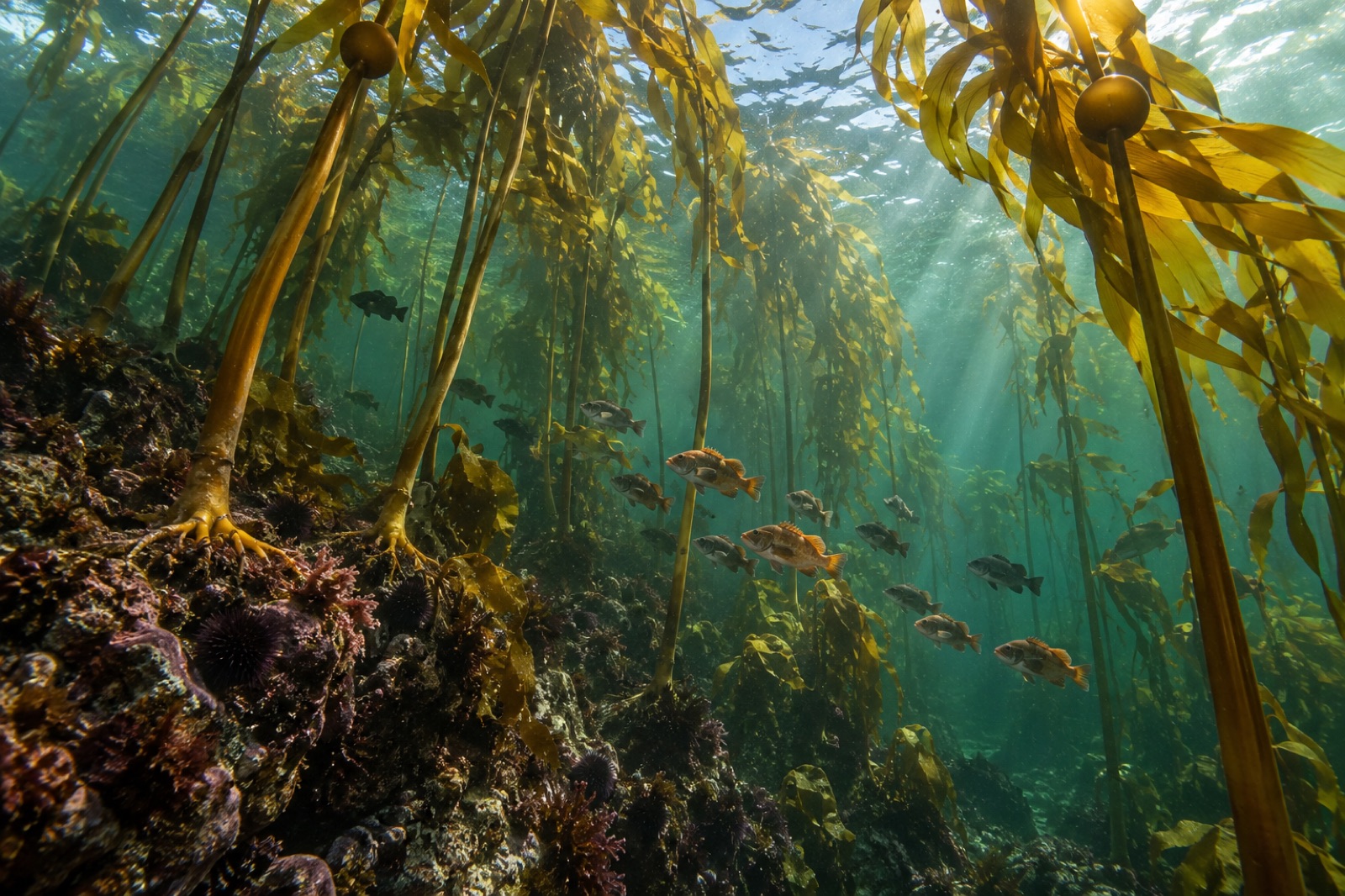
Meet bull kelp, the fast-growing annual giant of North America's Pacific coast — its biology, Indigenous heritage, dramatic decline and the race to restore it.
Dr. Mara Ellison ·
From 2013, sea star wasting liquefied stars from Alaska to Mexico and erased the sunflower star, a keystone urchin predator. The science, and the kelp fallout.
Dr. Mara Ellison ·