Coastal Atlas · Region
New Zealand
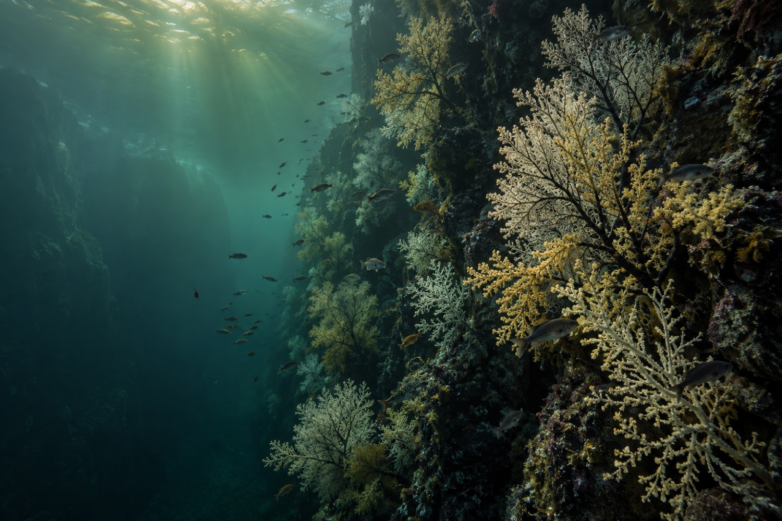
Aotearoa’s coastline is short on the map and enormous underwater: surf-battered Durvillaea forests in the south, giant kelp meadows off Otago, and the drowned mountains of Fiordland where kelp grows beneath a permanent freshwater ceiling beside shallow-water black corals found almost nowhere else. Māori relationships with rimurapa — the pōhā storage bags, the fishing customs, the tikanga of the shore — predate the kelp science by a thousand years and still shape how the coast is cared for.
Stylised position plot, not to scale — teal dots mark guides in New Zealand; faded dots are coastlines elsewhere in the atlas.
22 coastline guides
Waters: Tasman Sea / Golden Bay · Southwest Pacific / East Auckland Current · Cook Strait / Tasman Sea · Southwest Pacific / Hauraki Gulf margin · Tasman Sea / fiord · Tasman Sea fiords · Hauraki Gulf / Pacific · Southwest Pacific / Hikurangi Margin · Cook Strait · Southwest Pacific · Pacific / Southern Ocean · South Pacific / Tasman Sea · Southern Ocean / Foveaux Strait · Pacific / Canterbury Bight · Hauraki Gulf / Tasman Sea · Southern Ocean / Pacific · South Pacific / subantarctic edge
Where Tidewright works
Several coastlines in the atlas host Tidewright restoration programs — see the global map and the work itself.