Coastal Atlas · Region
Europe
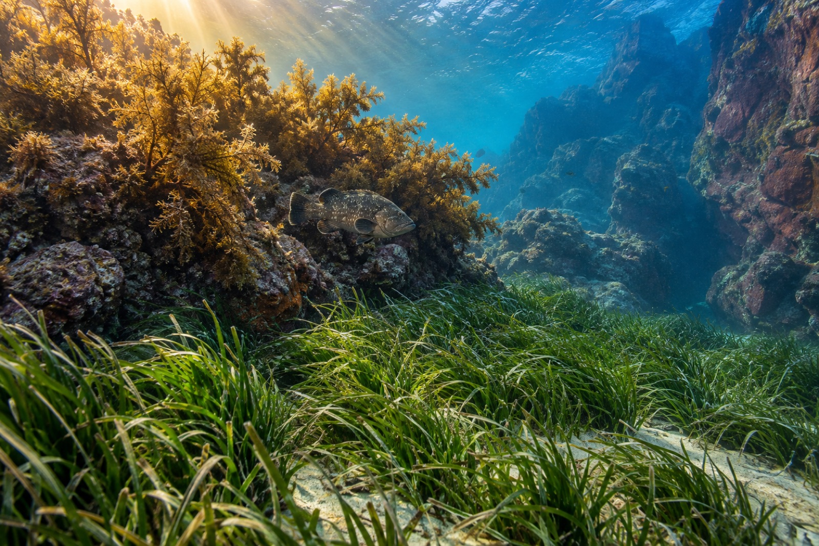
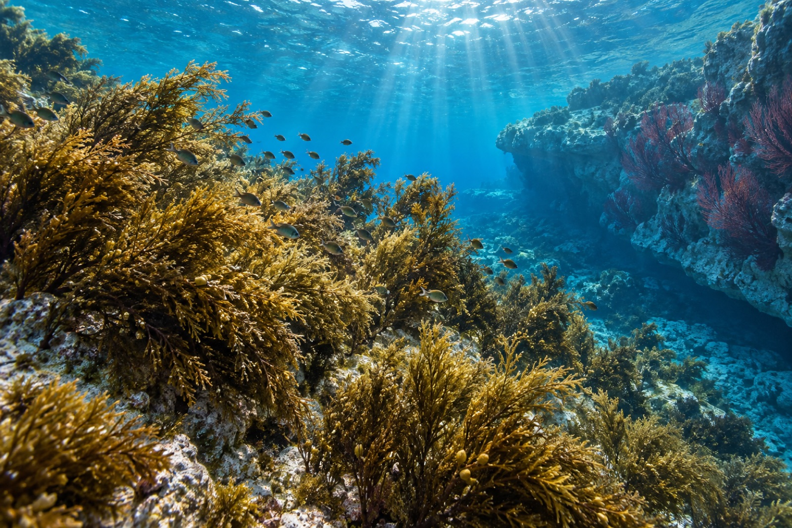
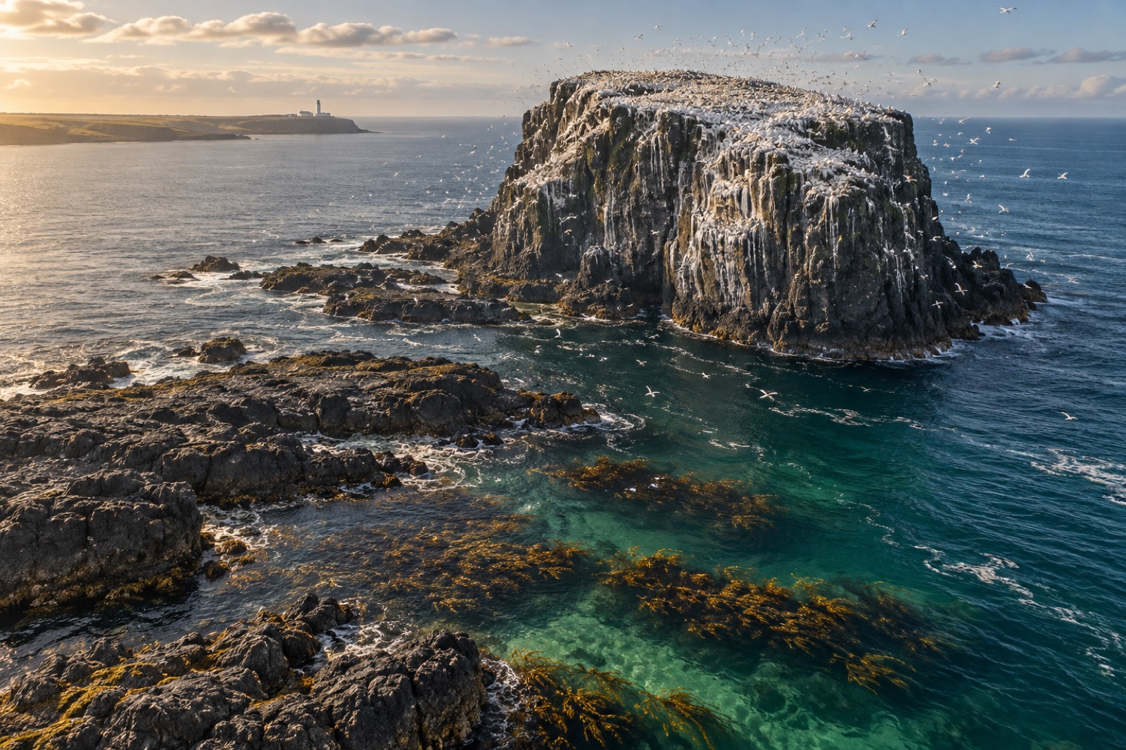
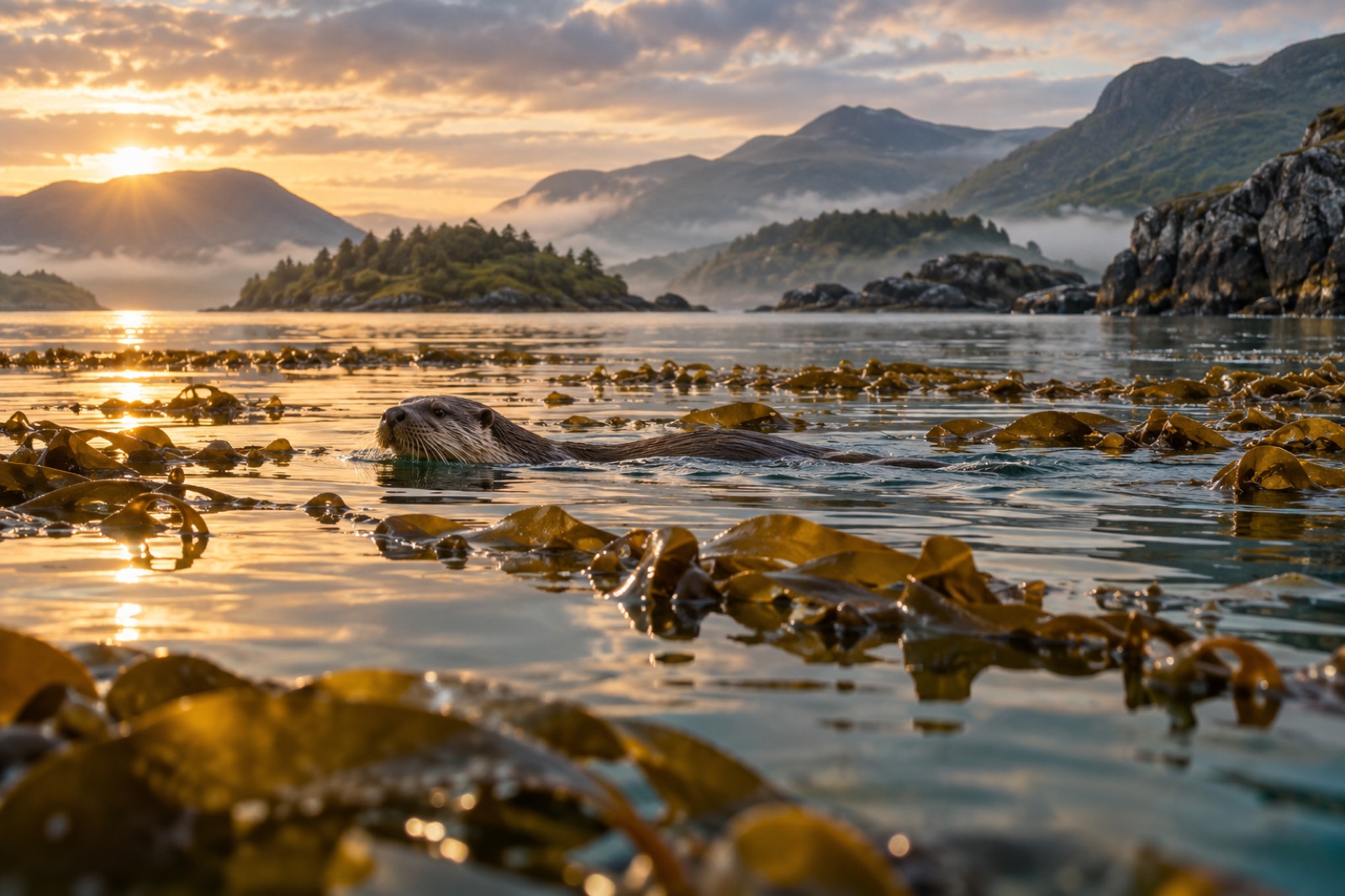
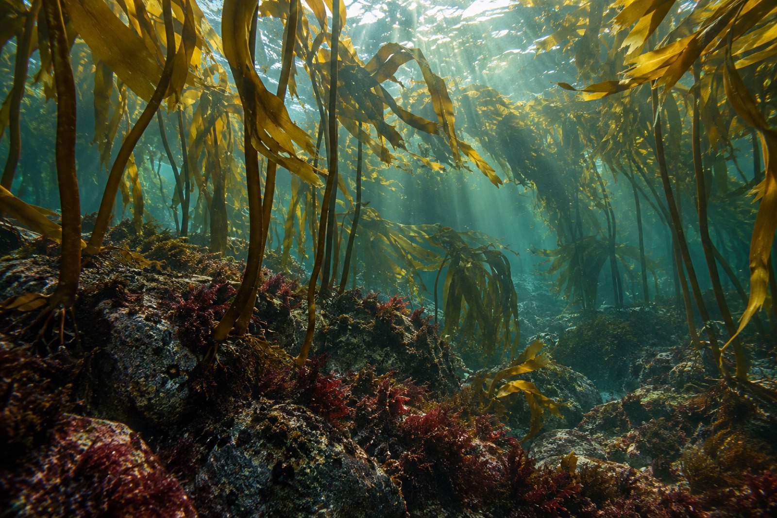
Europe’s west coast is kelp’s oldest workplace: Brittany’s oarweed beds fed a harvest trade for centuries, Norway’s tangle kelp was trawled on an industrial rotation that still runs today, and Scotland’s islands once burned kelp for soda ash by the boatload. From Arctic Lofoten down through the Hebrides, Cornwall and into Galicia’s mussel-rafted rias, the forests remain — different species, different histories, one long tide-washed arc.
Stylised position plot, not to scale — teal dots mark guides in Europe; faded dots are coastlines elsewhere in the atlas.
58 coastline guides
Waters: Irish Sea · Mid-Atlantic · Northeast Atlantic / Celtic Sea · Black Sea · Skagerrak · Eastern Atlantic · English Channel · Celtic Sea / English Channel · Mediterranean / Ligurian & Tyrrhenian seas · Adriatic Sea · North Atlantic / Inner Sound · North Atlantic · North Sea · North Atlantic / Sea of the Hebrides · Northeast Atlantic · Celtic Sea / Atlantic · English Channel / Bay of Biscay · Bristol Channel · Mediterranean / Tyrrhenian Sea · Norwegian Sea / Barents Sea margin · North Atlantic / North Sea · Norwegian Sea / Northeast Atlantic · Bay of Biscay · Bay of Biscay / Cantabrian Sea · North Atlantic / Rías Baixas · Norwegian Sea · North Atlantic / Hebrides · Baltic Sea · Kattegat / Baltic gateway · Celtic Sea / St George’s Channel · Ionian Sea / Adriatic · Eastern Atlantic / Bay of Biscay · Norwegian Sea / Skjerstadfjord · Clyde Sea / Irish Sea
Where Tidewright works
Several coastlines in the atlas host Tidewright restoration programs — see the global map and the work itself.