Coastal Atlas · Region
The Northeast Pacific
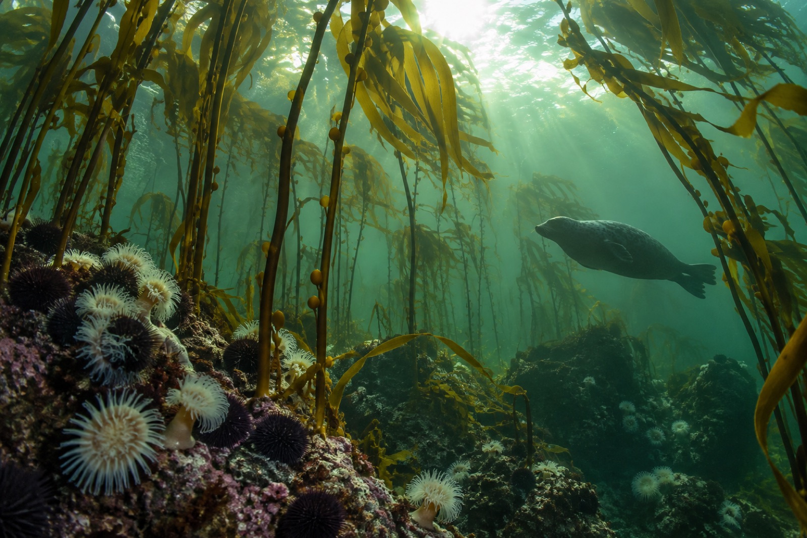
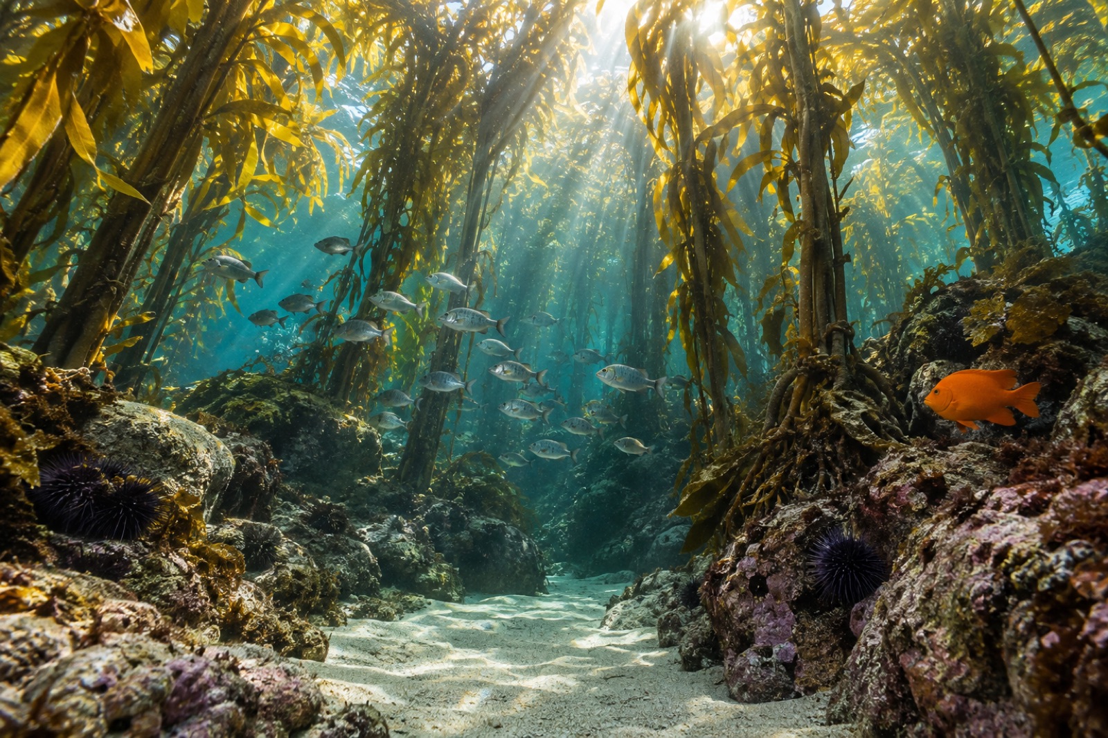
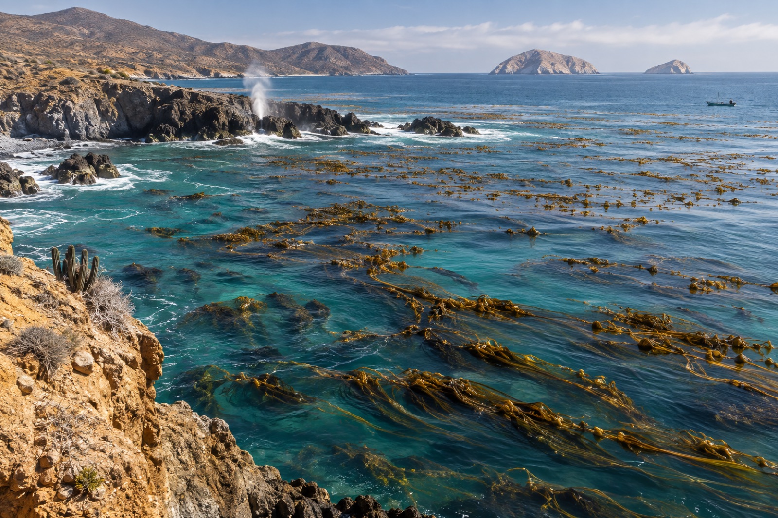
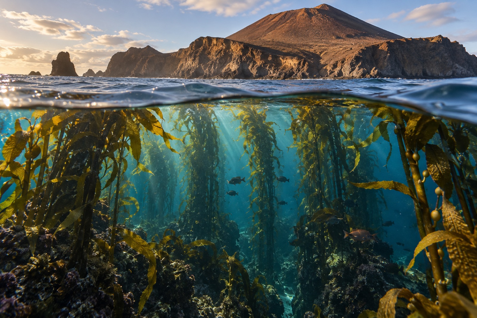
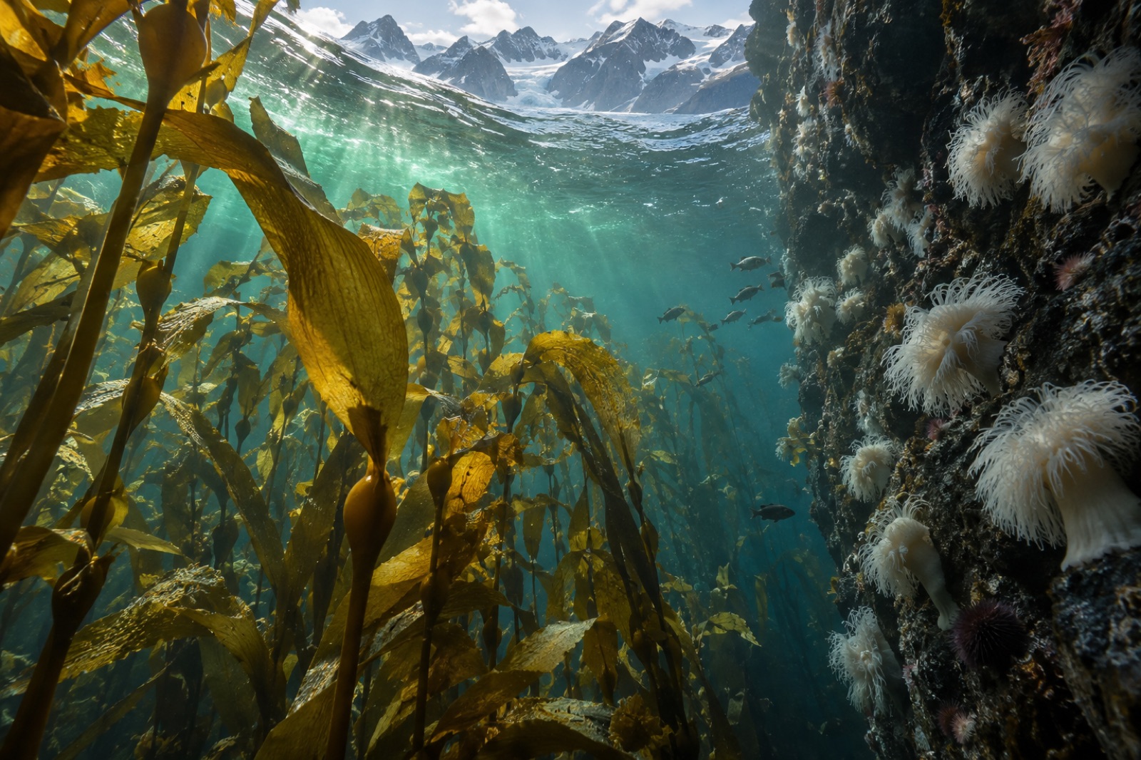
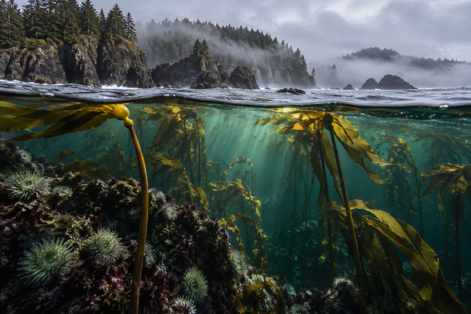
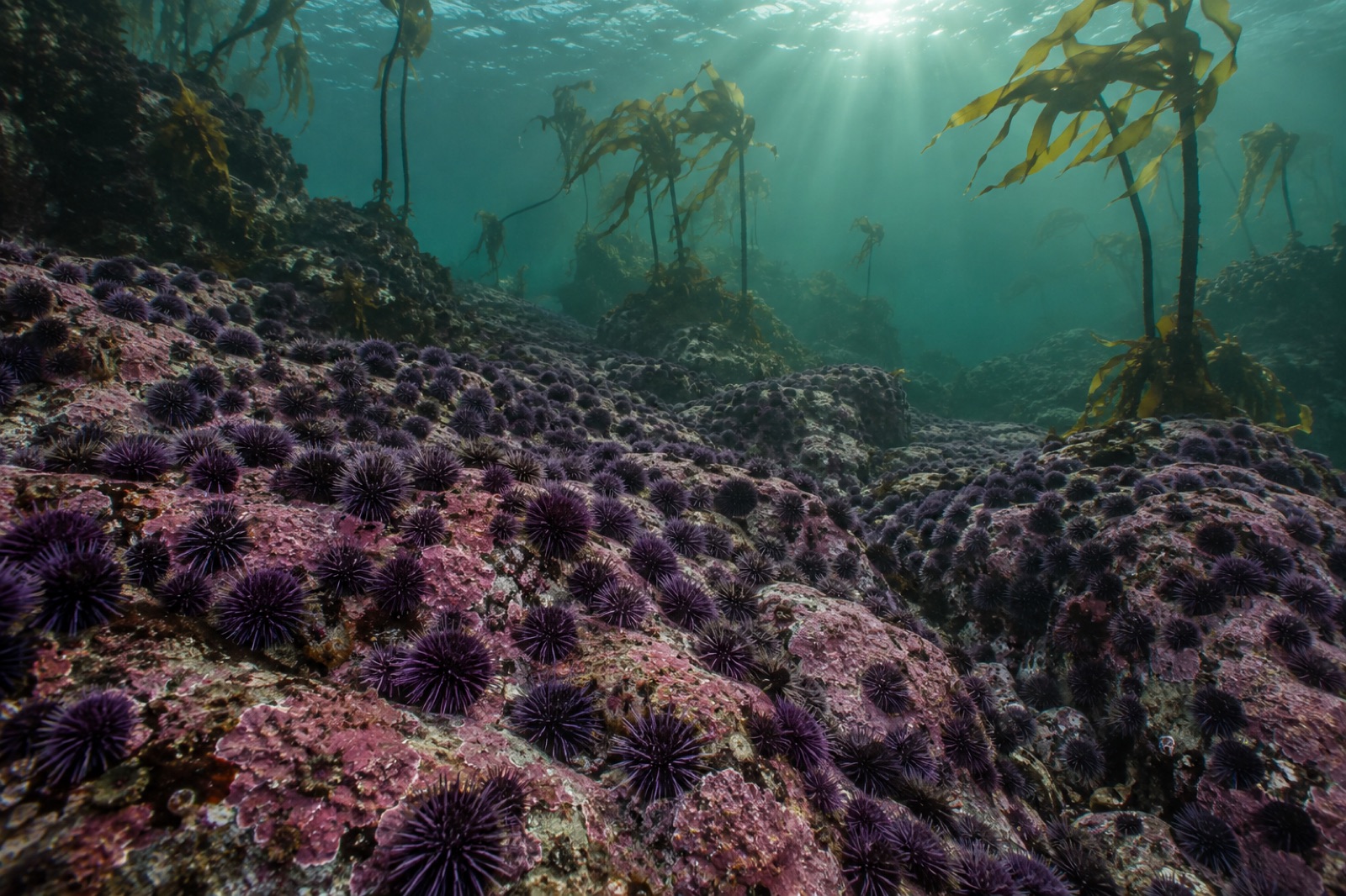
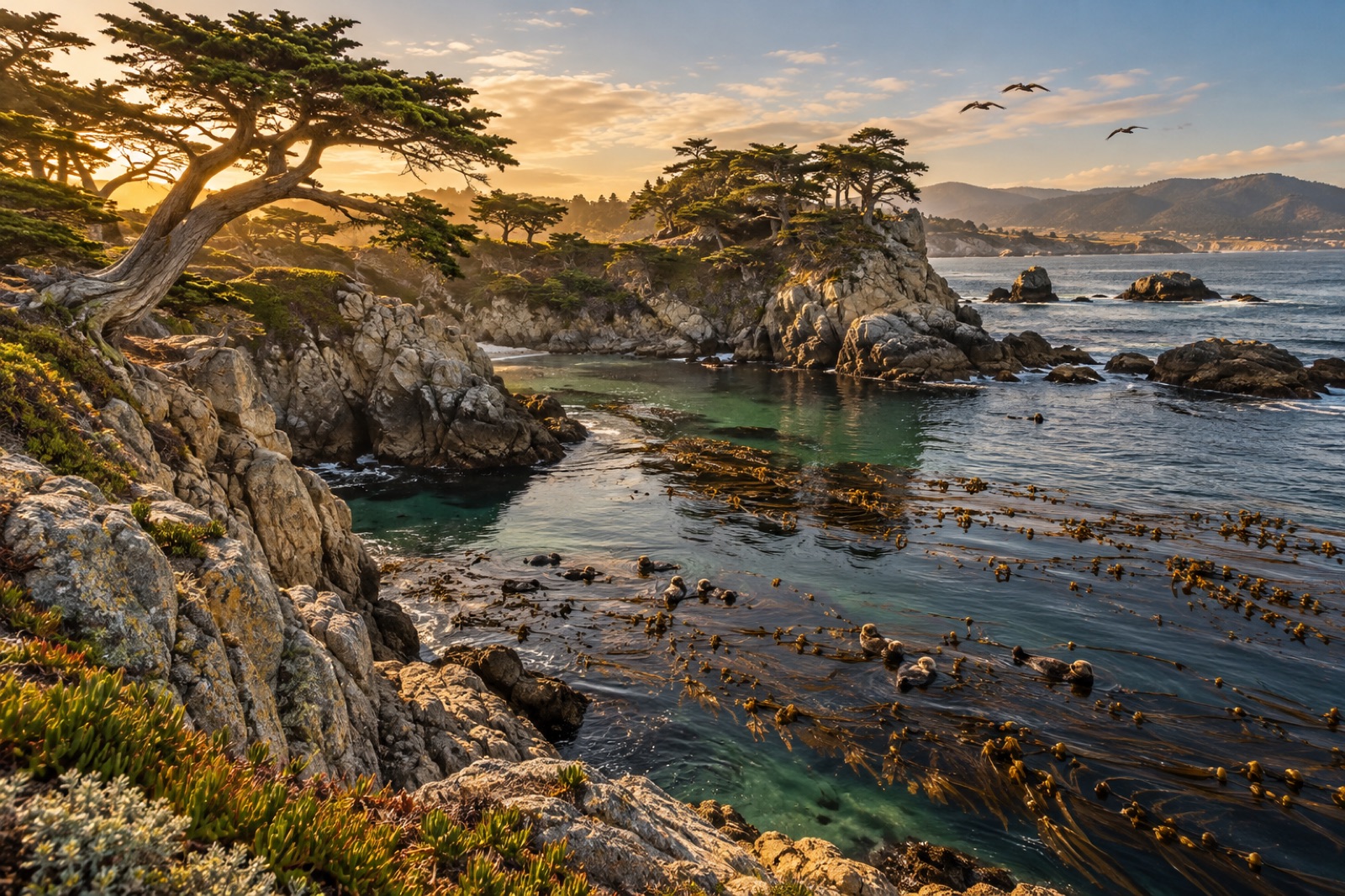
Nowhere else does a single ecosystem trace such a line: more than ten thousand kilometres of near-continuous temperate reef from the Aleutian arc to the tip of Baja California. Giant kelp and bull kelp trade places along it, sea otters patrol it, and every oceanographic event of the last decade — the Blob, the great sea-star die-off, the heatwave summers of the 2020s — has been written into its forests. This is the coastline where kelp ecology was invented, and where its future is being decided in real time.
Stylised position plot, not to scale — teal dots mark guides in The Northeast Pacific; faded dots are coastlines elsewhere in the atlas.
59 coastline guides
Waters: North Pacific / Bering Sea divide · Santa Barbara Channel · North Pacific / California Current margin · North Pacific · North Pacific / Vancouver Island · North Pacific / Monterey Peninsula · Salish Sea · Salish Sea / Howe Sound · Northeast Pacific / California Current · Gulf of Alaska / Inside Passage · North Pacific / BC Central Coast · North Pacific / California Current · Gulf of Alaska · North Pacific / San Diego · Bering Sea · Salish Sea / North Pacific · North Pacific / Pacific Rim · Bering Sea / North Pacific · North Pacific / Hecate Strait · North Pacific / Salish Sea · Bering Sea / North Pacific divide · North Pacific / Santa Barbara Channel · Gulf of Alaska / Kenai Fjords · Cook Inlet / Gulf of Alaska · North Pacific / San Pedro Channel · North Pacific / Monterey Bay · North Pacific / Sonoma coast · North Pacific / San Diego coast · Santa Monica Bay / North Pacific · San Pedro Channel · Gulf of California
Where Tidewright works
Several coastlines in the atlas host Tidewright restoration programs — see the global map and the work itself.