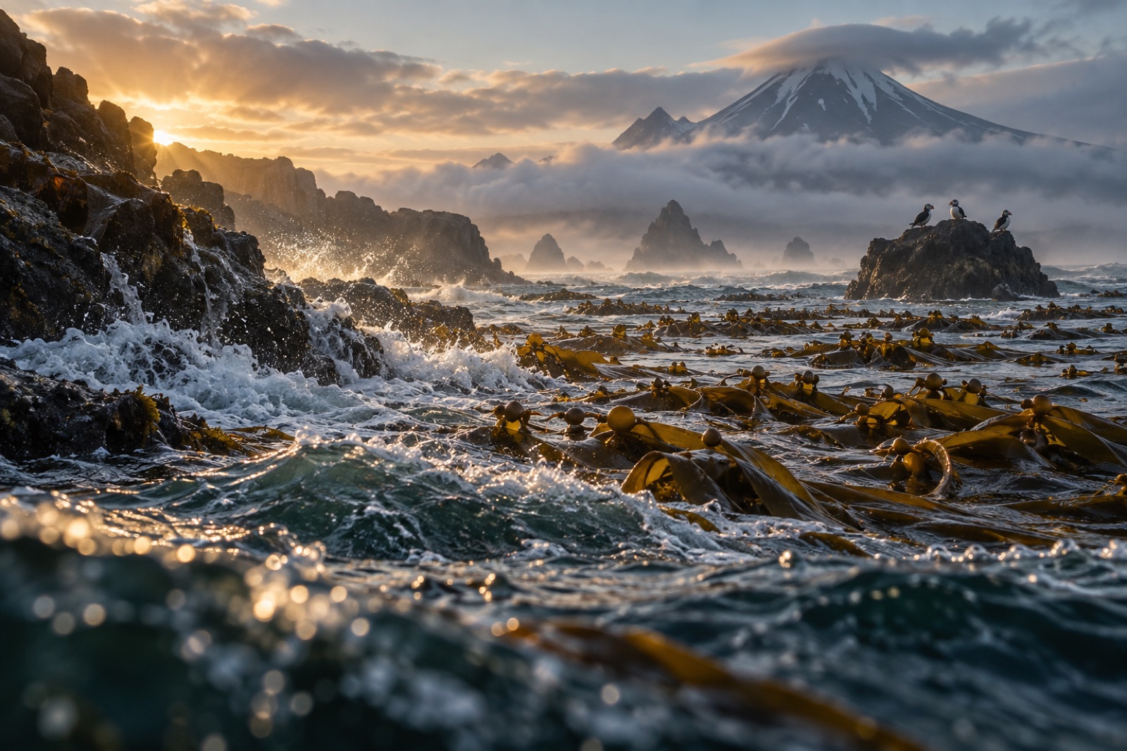
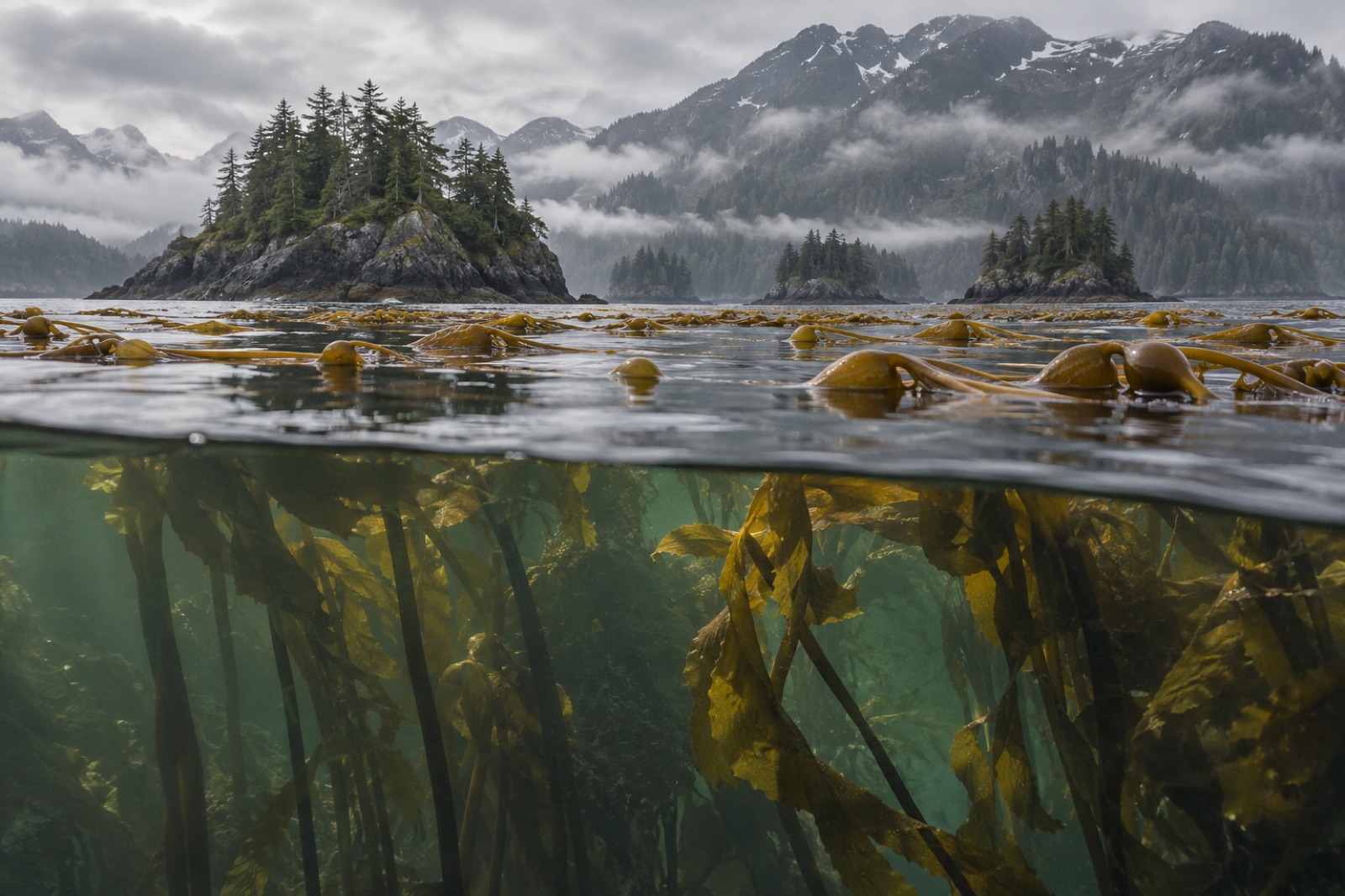
Draw a finger southwest from mainland Alaska for 800 kilometres and you trace one of the most consequential lines in oceanography: the Alaska Peninsula, a chain of volcanoes, fjords, salmon rivers and tundra coast that separates the deep North Pacific from the shallow Bering Sea. Nearly everything marine in this part of the world is shaped by which side of that line it lives on — and nowhere is that more true than for kelp. The Pacific side carries real forests: cold, current-wracked beds along rocky volcanic shores. The Bering side runs broad, shallow, sandy and ice-scoured. Between them lie narrow, furious passes — the doors that let two seas exchange water, nutrients, larvae and weather. This guide walks the line.
Two seas, one line of volcanoes
The peninsula is the terrestrial root of the Aleutian arc, one of the most active volcanic chains on Earth — Pavlof, Shishaldin on Unimak Island, and a lineup of smoking stratovolcanoes down the spine. The geology is young, the rock dark and sharp, and much of it protected under a patchwork of national parks, monuments and wildlife refuges — Katmai at the northeast end, where brown bears fish salmon at the famous falls, and the Izembek and Alaska Peninsula refuges toward the tip.
The oceanic facts on either side could hardly differ:
- South (Pacific) side — deep water comes close; the Alaska Stream runs hard along the shelf; rocky subtidal reef is extensive; swell arrives unimpeded from the Gulf of Alaska (covered in our Gulf of Alaska guide).
- North (Bering) side — the sea shallows onto the enormous Bering shelf; winter sea ice reaches down (sea ice explained); bottom communities run to soft-sediment specialists: eelpouts, flatfish, crab.
The peninsula is, in short, a natural experiment: same latitude, same latitude's weather, two entirely different marine ecosystems — and kelp is the instrument that reads the difference.
The passes: doors between oceans
Short of rounding Cape Horn, ships don't squeeze through the Aleutian chain often; the passes that do exist concentrate almost unimaginable current. Unimak Pass, the westernmost gap between Unimak Island and the first of the outer Aleutians, is the principal door — deep enough for ocean traffic, wide enough that Pacific water pushes north through it on the flood. Isanotski Strait at False Pass is the shallower inner door.
These passes are the reason kelp biogeography here is a wire rather than a wall: currents from the Pacific bring propagules north; the Bering's cold pool pushes organisms south. Marine connectivity along the arc — who can cross, and who gets stopped — is one of the living subjects of oceanography (see marine connectivity). The passes concentrate both relevance and risk: the same doors that exchange biology also concentrate fishing traffic, ice floes and storms.
The kelp forests: a Pacific-side story
It is a rule of subarctic ecology: kelp wants rock, light and current. The Pacific side of the Alaska Peninsula delivers all three, and its kelp beds — extended fringes of green-brown canopy sheltering along points, islands and embayments — are the most consistent mid-latitude kelp ecosystems on the Bering-facing side of North America. The forest guild is recognizably cold-North-Pacific:
- Bull kelp (Nereocystis luetkeana) in the clearer summer water, annual and fast, riding the long days — see the bull kelp species profile.
- Ribbon and other Alaria species — the ribbon kelps — at exposed margins.
- Perennial understory kelps — Laminaria / Saccharina-type forest on the reef proper, and the later successional community described in succession on a reef.
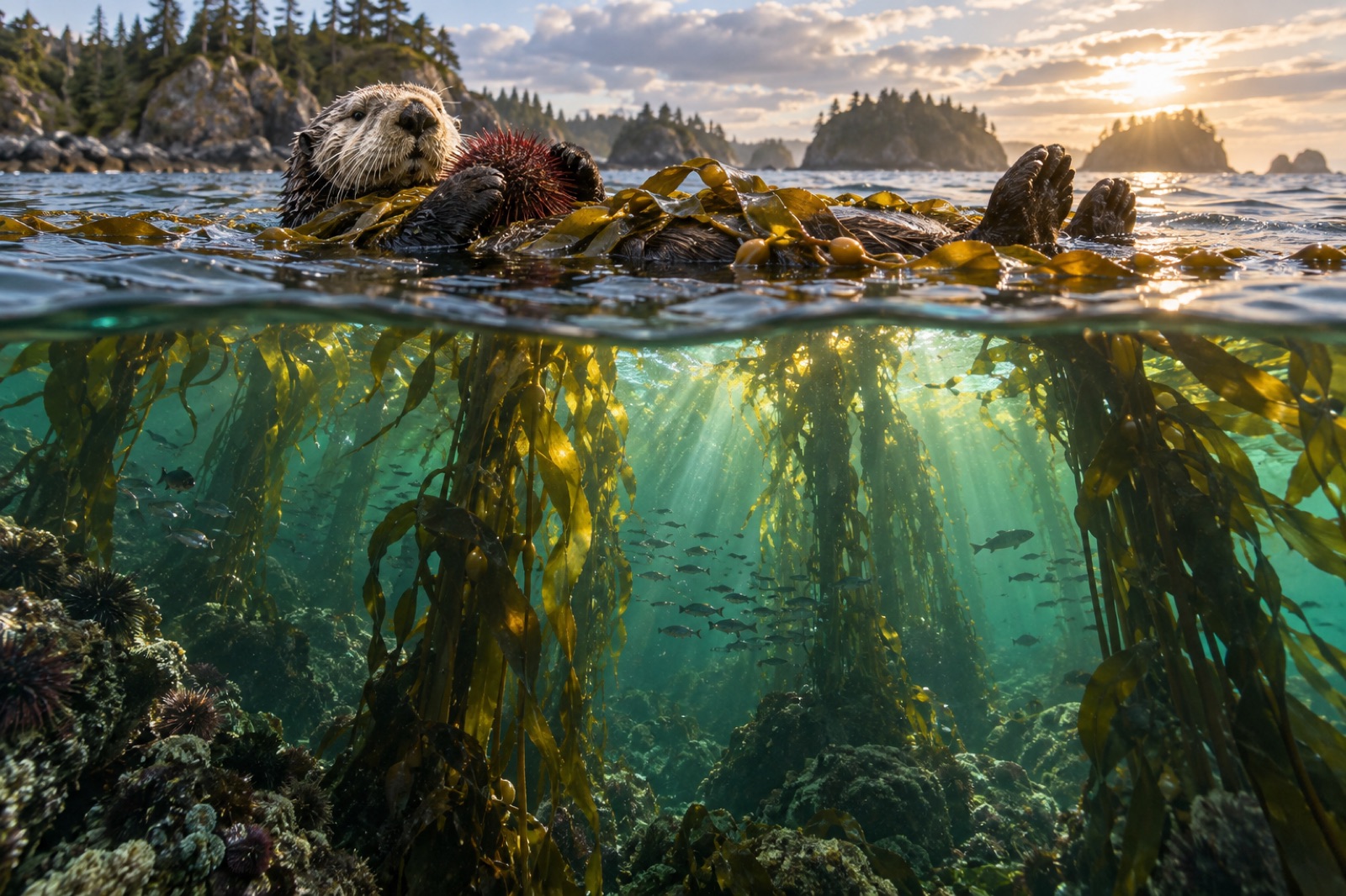
- A full cold-water menagerie in their shade — rockfish, greenling, sea urchins of the green/red guild, and, historically and importantly, sea otters.
The Bering side, by contrast, is sparse kelp country: shallow, sandy, ice-planed, with the kelp restricted to scattered hard patches around headlands and near the passes — more virtual forest than real one. North of the peninsula's tip, the Bering shallows keep kelp to their rims, as they do around the Pribilofs.
Otters, urchins and the Aleutian triangle, extended east
The Alaska Peninsula sits on the eastern shoulder of the region where one of ecology's famous field stories played out: Estes and colleagues' sea-otter / urchin / kelp trophic cascade in the Aleutians. The principle is the same here: where otters hunt urchins, kelp stands; where otters are lost, urchin barrens spread. Orca predation on otters in the western Aleutians is part of the story; on the peninsula itself, otters persist in parts of the Pacific side, and kelp structure tracks them.
Around Izembek Lagoon near the tip, the ecosystem hands the baton to a related but non-kelp giant: eelgrass (Zostera marina, profiled in our eelgrass species entry). Izembek supports one of the largest eelgrass meadows on Earth — a brant-staging ground of world significance, and a reminder that kelp and seagrass are different answers to shallow water: kelp on rock facing Pacific swell, seagrass in the sandy lagoon on the sheltered side.
Salmon, bears, birds: the rest of the system
The Alaska Peninsula runs on fish. Bristol Bay's rivers — pouring out the northeast end — host the planet's most famous runs of sockeye salmon and the bears, eagles and whole coastal economy that track them. Seabird cliffs ring the outer islands. Shorebirds in their hundreds of thousands funnel through Izembek each autumn. Steller sea lions haul at the rocky points of both sides.
For people, the peninsula is Alutiiq/Sugpiaq and Unanga\u0302x country — home villages, fishing families, and the working waterfronts of Sand Point, King Cove and Chignik — reached by plane and ferry, governed through the Aleutians East Borough and state-national refuge mosaics. Any decent thinking about kelp work here begins in those communities.
Climate at the line between seas
The Alaska Peninsula is riding the same heat the Bering and the Gulf both are. The marine heatwave records of the past decade — the Blob, the Bering sea-ice collapse winters of 2018–2019 — have shown up in both seas at once. The peninsula-side observations are sobering; the kelp faces more annual heat sum, earlier springs, and the same invader/inhabitant shuffles seen elsewhere in Alaska — all while the passes that exchange water with the Bering rearrange. Cold-water refugia of the kind described in thermal refugia — deeper upwelling pockets, shadowed passes, current-washed points — will write the kelp's next chapter here, and mapping them is exactly the sort of work our Drifter vessels exist for.
Visiting: the far end of the ferry
You can ride the Alaska Marine Highway ferry system down the peninsula chain from Homer/Kodiak toward the tip, or fly to King Salmon, Sand Point or Cold Bay. Kodiak — the emerald-island anchor at the northeast end — is detailed in our Kodiak guide; the peninsula beyond is expedition country: heavy weather, remote logistic, no dive shops. The main way most people meet this kelp is from a boat's rail with binoculars, or over a salmon box on a working dock — which is, honestly, the right way to meet the last wild kelp coast.
Key takeaways
- The Alaska Peninsula is an 800-km volcanic arc-root separating the deep North Pacific from the shallow, ice-edged Bering Sea.
- Kelp forests concentrate on the Pacific side (bull kelp, Alaria, perennial Saccharina guild), where rock, light and current align; the Bering side is too sandy and ice-scoured for more than scattered patches.
- Passes — Unimak, Isanotski — are the doors wiring the two seas together, for larvae, nutrients and storms.
- The otter–urchin–kelp cascade documented in the Aleutians runs here too; Izembek's giant eelgrass meadows complement the kelp from the sheltered side.
- Warming and the Bering ice's retreat are reorganizing both sides at once; cold pockets along the passes may be refugia worth finding now.
FAQ
Do both sides of the peninsula have kelp forests?
Not equally. True canopy forests are a Pacific-side phenomenon on the peninsula — the Bering side's shallow, sandy, ice-worked shelf supports only scattered keld beds around headlands. The two sides are a single-coast demonstration of how much substrate matters.
What eats the kelp here?
The same guild as the Aleutians: urchins (green and red) as principal grazers; sea otters as their check. Fish (rockfish, greenling) use the canopy largely for shelter rather than grazing. Where otter numbers fall, urchins mow the reef — the classic mechanism.
Does sea ice ever reach the kelp?
On the Bering side, certainly — winter pack regularly scours shallows, resetting those beds. The Pacific side usually stays ice-free; the kelp's winter stressor there is darkness and storm, not ice.
Is the Alaska Peninsula protected?
In large part: Katmai National Park, Izembek and Alaska Peninsula National Wildlife Refuges, and adjacent state-critical habitat areas cover much of it. It's also a working coast — fishing economies, indigenous governments — so "protected" here means managed, shared and contested more than untouched.
Could this coastline support kelp restoration work?
In principle yes, and the region's intact seedstock, cold water and working-waterfront capability are all the right ingredients. The practical constraints are weather, distance, and that any program would need to be built with local communities from day one — principles we take seriously in our project model.